- Place
- Trakai District Municipality
- Region
- Aukštadvaris Regional Park
- Type
- a hydrological feature with the Strėva channel and bridge between two lakes
- Address
- Spindžius-Spindžiukas Lake Channel, Trakai District
- Coordinates
- 54.57191, 24.66843
- Visit duration
- 20-45 minutes for the channel and bridge; longer with a Strėva route
- Best time
- spring to autumn; trail and approaches can be wet after rain
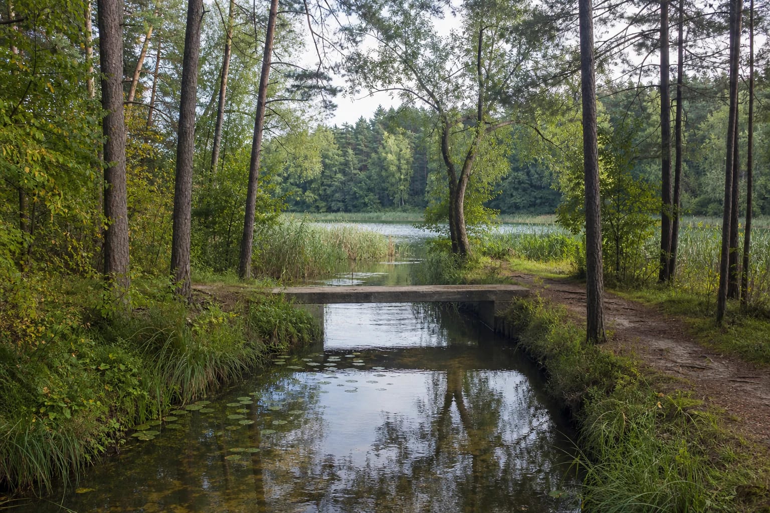
Spindžius-Spindžiukas channel, Strėva between Spindžius and Spindžiukas, Rest area by the Spindžius-Spindžiukas channel
Where Two Lakes Meet
The Spindžius-Spindžiukas channel is a stretch of the Strėva in the Spindžius Landscape Reserve. Saugoma marks an official rest area beside the bridge on the Bijūnai-Drabužininkai II-Karaliūnai-Bičiūnai district road, making this a specific stopping point rather than the entire strait between the lakes.
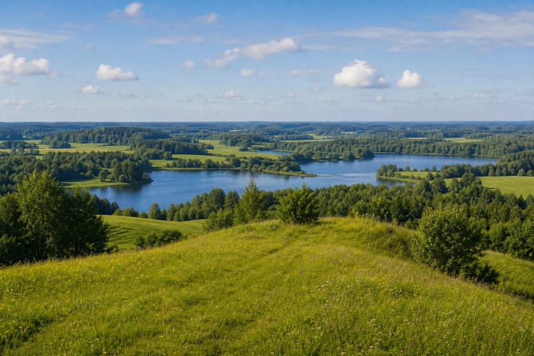
Spindžius is the larger of the pair and one of the defining lakes of the Aukštadvaris region. VLE notes that the Strėva flows through it; at the channel, the stream continues through the park's wooded and water-rich landscape.
The coordinates 54.57191, 24.668432 on this page mark the channel and bridge. This is a particular visitor feature, not a long trailhead or the start of every shore route around Spindžius.
The Strėva between Spindžius and Spindžiukas
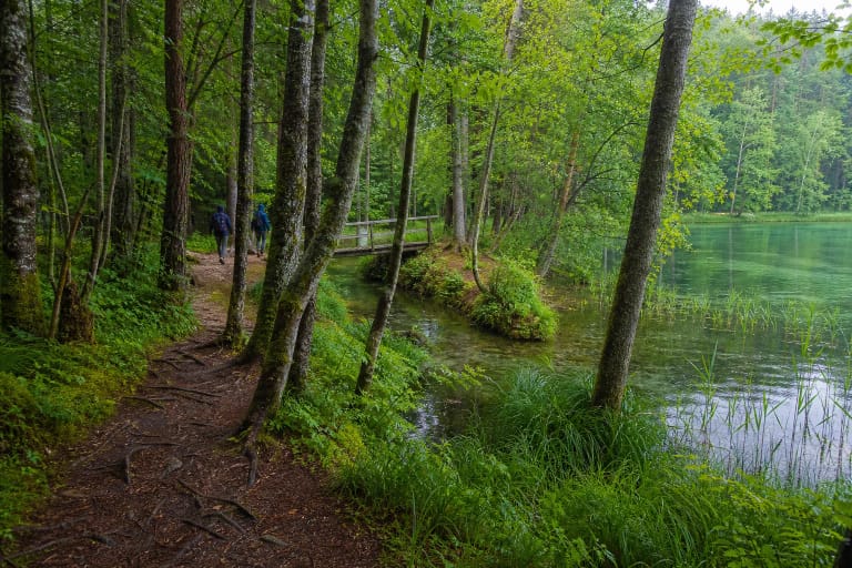
At the channel, the Strėva appears as a calm watercourse hidden in woodland. From the bridge, observe the current, reedbeds, aquatic plants, and the proximity of both lakes, but do not leave the path to enter wet banks.
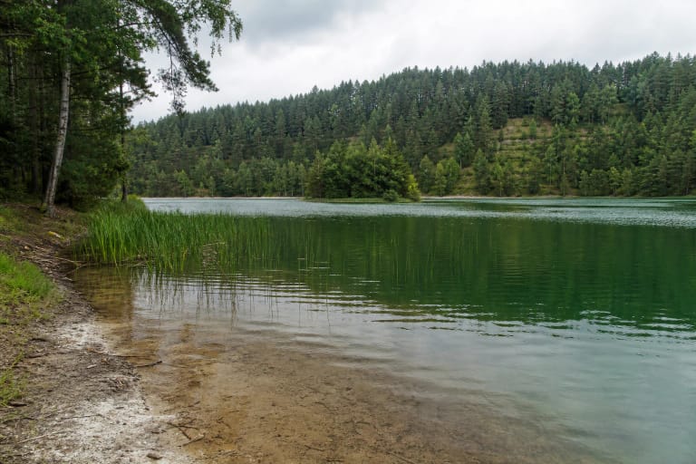
Spindžius is known for greenish water and spring-fed surroundings, while Spindžiukas forms the smaller part of the lake chain. Colour, level, and visibility depend on weather, season, and light, so one photograph cannot predict the next day's appearance.
The channel may be fuller in spring and after rain, while banks become softer. Stay on the trail, do not wade across the stream, and do not let children walk alone at the water's edge.
A Bridge and a Short Woodland Stop
The bridge and the marked rest area beside it are the main focus. The approach reveals the narrow Strėva channel, woodland shade, and lake water beyond the reeds. This is a short stop where the hydrological connection matters more than a broad panorama.
The approach is not an urban pavement. Woodland roads and natural surfaces can be uneven and muddy after rain. Firm footwear helps even when the stop itself may take only a few minutes.
Bridge condition, railings, and approach surfaces may be renewed, so follow current signs and do not cross if the structure is closed. Do not use the bridge as a diving or swimming platform.
A Link in the Aukštadvaris Lake District
The 7.5 km Green Trail passes through the rest area and continues across the Natura 2000 landscape of Spindžius Forest. Saugoma records 13 habitat types of European Community importance along this landscape and 26 plant species listed in Lithuania's Red Data Book within the Spindžius Landscape Reserve.
On a longer outing, combine the channel with Lake Spindžius, Lake Stanka, the Strėva Sinkhole, and the Drabužininkai barrows linked by the Green Trail. Park only in a designated place and calculate distance along the real trail rather than a straight line on the map.
Water and woodland environments are sensitive to path widening. Reedbeds, wet hollows, and shore vegetation can be easily damaged, so the shortest route is not always the right route.
Responsible Waterside Visiting
Do not light fires or leave rubbish beside the channel, and do not launch onto the lakes from this point without checking lawful access, safety, and current rules. A small bridge and woodland path are not automatically a campsite or beach.
Keep dogs under control as required by protected-area rules, do not disturb birds, and do not collect aquatic plants. If you see a barrier, warning, or damaged structure, choose another park stop.
Explain to children that the channel is not a playground: water may be deeper than it looks, and a slippery bridge and muddy bank require close adult supervision.