- Place
- Trakai District Municipality
- Region
- Vilnius Region
- Type
- a tunnel-valley lake in Trakai Historical National Park
- Address
- Lake Skaistis, Trakai District
- Coordinates
- 54.66342, 24.97186
- Visit duration
- 2-4 hours for one shore or a visit combined with Užutrakis Park; allow longer for the wider Trakai lake district and linked routes
- Best time
- May to October for shore and island views; morning for calmer water
Skaisčio ežeras, Žydiškių ežeras, Skaistis near Trakai
Lake Skaistis and Lake Žydiškės are the same water body
Lake Skaistis lies about 1.5 kilometres northeast of Trakai and about one kilometre west of the Vilnius-Kaunas railway. VLE gives Lake Žydiškės as another name. That name is useful when searching older descriptions, maps, and local landscape references, but this visitor page concerns the same water body.
The map point is a representative location for the lake as a whole, not one official entrance, beach, pier, or parking area. Skaistis has varied shores, so follow local signs, the rules for the route you choose, and protected-area requirements when you arrive.
A 282-hectare tunnel-valley lake with a winding shore
Skaistis covers 282 hectares, extends about 3.4 kilometres from southwest to northeast, and reaches a maximum width of 2.1 kilometres. Its surface elevation is 148.4 metres above sea level. The maximum depth is 32 metres and the average depth is 9.8 metres, so this is not a shallow backwater even though individual shores can feel very different.
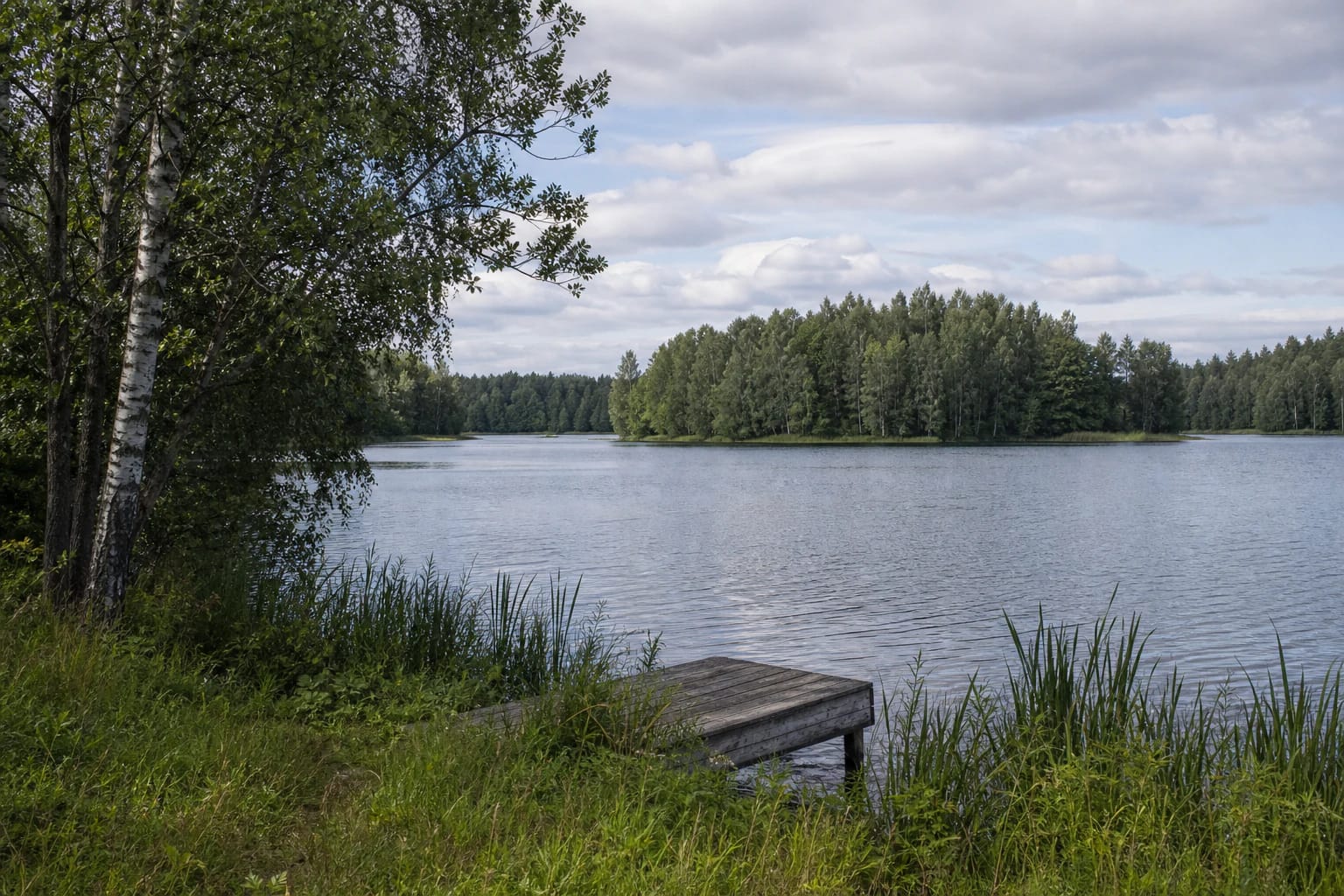
The basin is tunnel-valley in origin, carved by glacial action. Its shoreline is very winding, about 14 kilometres long, with bays, capes, and peninsulas. Many shores are high and steep; Varnikai Forest borders the southwest, while the Žydiškės Forest Park lies to the northeast.
Nine islands and a strait to Lake Galvė
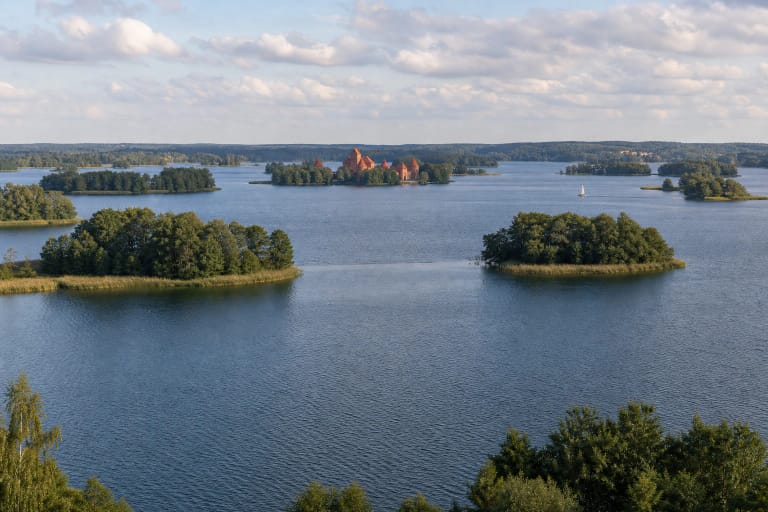
Skaistis contains nine islands with a combined area of about 3.7 hectares. They do not look the same from every shore because bays, peninsulas, and wooded relief continually change the view. Read the landscape as a sequence of water spaces rather than one straight shoreline.
One stream from Lake Birva flows into Skaistis, while a strait about 200 metres wide connects it with Lake Galvė in the southwest. Both lakes belong to the Neris basin, and Skaistis has a water exchange of about 85 percent. This makes the Trakai lake district one connected hydrological and landscape system rather than a set of isolated lakes.
A protected lake district and the Užutrakis peninsula
Skaistis is part of Trakai Historical National Park. The park protects the natural and cultural landscape of the Trakai lake district, where waters, forests, old settlements, and heritage sites are interdependent. E-TAR data also identifies Skaistis with an official water-body code and associates it with a protected habitat area.
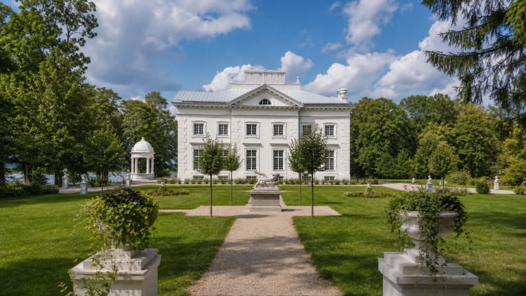
Užutrakis Manor and Park occupy the peninsula between Skaistis and Galvė. This explains why the view from Užutrakis is not only of one lake but of the connected Trakai water landscape. The park is a separate visitor site with its own access rules, so a lake description does not guarantee access to every part of the peninsula.
Swimming, shores, and responsible visiting
The Institute of Hygiene's 2024 Lake Skaistis bathing-site characteristics document identifies a water-monitoring point at 54.6540, 24.9523. That is the observation location in a particular document, not a promise about current water quality across the entire lake. Before swimming, check the latest information, conditions on the day, local signs, and safety guidance.
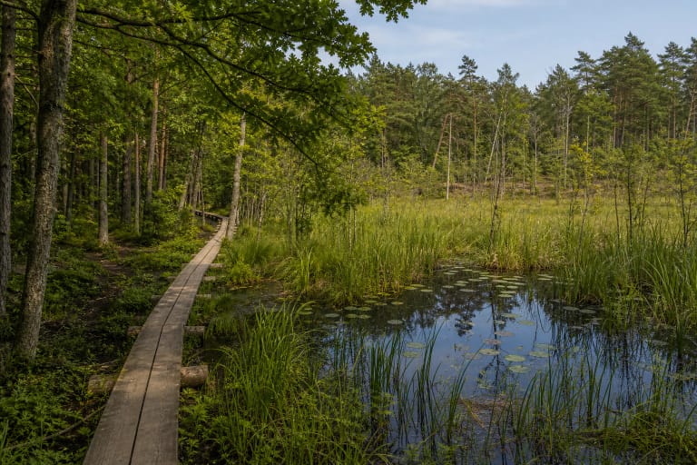
Steep shores, reed beds, and private land mean that not every shore visible on a map is suitable for reaching the water. Use lawful access points, do not damage vegetation, do not land on islands without clear permission, and leave the shore as you found it. Wear a life jacket when boating, and do not infer depth or currents from a calm surface.