- Place
- Trakai District and Elektrėnai municipalities
- Region
- Trakai Region
- Type
- a historical national park with a lake district, castles, estates, and village landscapes
- Address
- Trakai Historical National Park, Trakai
- Coordinates
- 54.64515, 24.93586
- Visit duration
- 3-5 hours for Trakai; a full day for the park with Užutrakis and other sites
- Best time
- spring to autumn; summer for combining lakes with water routes, autumn for parks and views
Trakai Historical Park, Trakai National Park
The Smallest National Park, a Large Historic Landscape
Trakai Historical National Park was established on 23 April 1991 to protect the Lake Trakai landscape complex, castles, and ethnocultural heritage. The State Service for Protected Areas gives the park an area of 8,147 hectares, while VLE describes it as Lithuania's smallest national park.
Its core is the historic town of Trakai with the Island and Peninsula Castles, but the park does not end at the town shoreline. It also includes Užutrakis, Old Trakai, the Varnikų and Plomėnai natural complexes, Bražuolė and Daniliškės archaeological sites, and old villages.
The coordinates 54.645152, 24.935858 on this page mark access to Trakai's visitor and cultural core. They are a useful starting orientation rather than an entrance to the whole park: use separate addresses and access points for Užutrakis, Varnikų, and Old Trakai routes.
Lake Galvė and the Castle Panorama
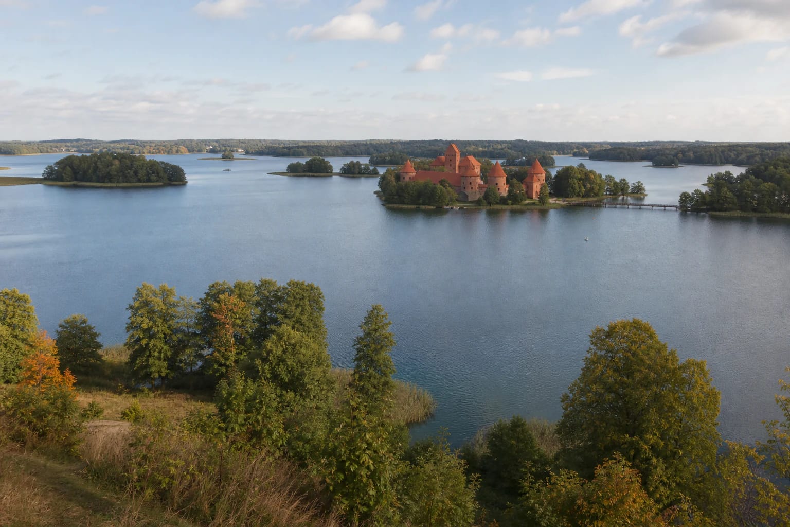
Water shaped Trakai's character. The park contains 32 lakes, and the largest-Galvė, Skaisčio, Luka, and Totoriškės-form an interconnected lake district through channels. Islands and peninsulas explain not only the beauty of the view but also the historic arrangement of castles, town, and routes.
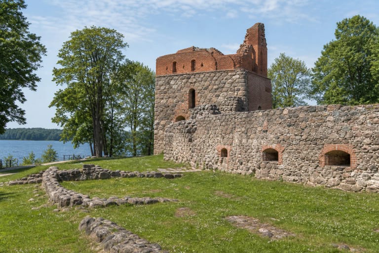
The Island Castle stands on an island in Lake Galvė and is the park's strongest symbol, while the Peninsula Castle represents another layer of the fortified town. Between them lie Trakai Old Town, the basilica, the Karaim kenesa, timber houses, and waterfronts, so the castle should be visited as part of the town's history.
The water view changes with every shore. Kęstutis Hill, the peninsula, and the lakeside routes reveal different island and tower compositions, but take care on wet ground, follow boating rules, and do not enter private access points.
Užutrakis and a Deliberately Designed Estate Park
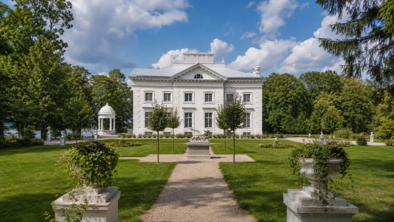
Užutrakis Estate is not simply a building beside a lake but a planned landscape-architecture ensemble between Lakes Galvė and Skaisčio. The manor, terraces, woodland, and E. F. André-designed park were arranged so that views of Trakai and the water became part of the composition.
Plan the estate as a separate stop from the Island Castle. Distances, opening times, events, and access to particular parts may differ, so one museum or estate ticket does not describe the national park as a whole.
Užutrakis shows how a cultural landscape can be both a garden and a historical document. Stay on paths, avoid restored or sensitive areas, and notice the perspectives that join the manor, trees, island, and lake.
Old Trakai, Villages, and Karaim Heritage
The history of Trakai Historical National Park does not stop at the castles. The Old Trakai archaeological site is associated with Vytautas the Great's birthplace, while village-architecture reserves protect the spatial and ethnographic structure of Old Trakai, Varnikėliai, Serapiniškės, Daniliškės, and other settlements.
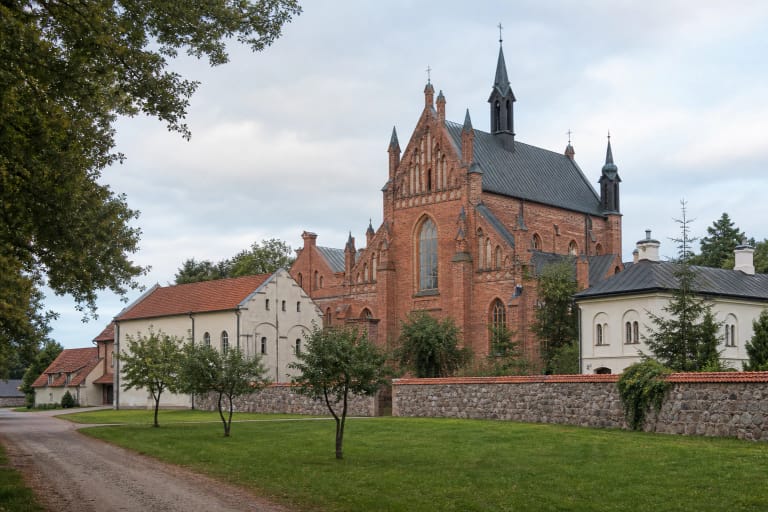
Trakai is a multicultural town where Karaim homes, the kenesa, sacred buildings, and street patterns remain visible. Karaim heritage is not a decorative detail: it is connected to the town's history, community, and living cuisine, so visit respectfully and keep out of private spaces.
Bražuolė Hillfort, Daniliškės Hillfort and burial ground, Varnikų Hillfort, and Rėkalnis sacred hill add archaeological depth. They can be combined with lakes and estates, but access, surfaces, and on-site interpretation vary.
Woodland, Wetlands, and Lake Reserves
Woodland covers about one third of the park and lakes about one fifth. Kudrionys Forest, the Plomėnai and Varnikų wetlands, and the Galvė, Akmena, and Bražuolė hydrological reserves protect a landscape different from the built waterfronts of Trakai.
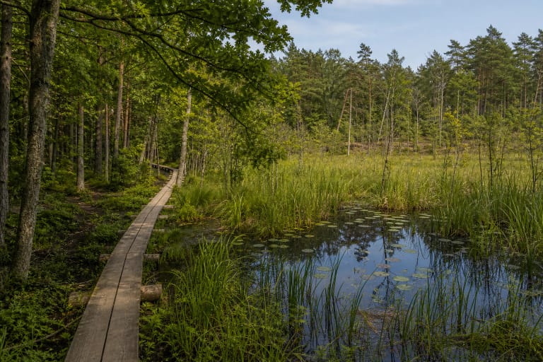
The Varnikų Botanical-Zoological Reserve and Plomėnai Ornithological Reserve are important for habitats and bird diversity. Varnikų Nature Trail lets visitors see this side of the park, but damp ground and woodland conditions make suitable footwear and season important.
Not every lake shore or forest road in a protected area is open for recreation. Check reserve rules before visiting, do not enter closed zones, keep cars off grass, and do not widen informal tracks through wetlands or shorelines.
Planning Your Visit
For a first trip, allow several hours for Trakai Old Town, the Island Castle, the Peninsula Castle, and one lakeside or viewpoint route. If you want to see Užutrakis, Varnikų Trail, or Old Trakai, plan them as separate stops with extra travel time.
The Island Castle museum, estate, visitor centre, guided tours, and other services may have different opening times and prices. Check the official information for the particular site before travelling rather than assigning one ticket or timetable to the entire park.
Pitch tents only at designated campsites and light fires only in designated fire sites; leave cars in marked places. Supervise children by water and castles, do not damage slopes or archaeological sites, and follow local boating and dog-walking rules.