- Place
- Trakai District Municipality
- Region
- Aukštadvaris Regional Park
- Type
- a glacial lake in Aukštadvaris Regional Park
- Address
- Lake Spindžius surroundings, Trakai District
- Coordinates
- 54.57300, 24.67800
- Visit duration
- about 1-3 hours; longer if combined with the Strėva Green Trail or other park sites
- Best time
- May-October; a calm, dry day best reveals the woodland and water landscape
Lake Spindžius, Ežeras Spindžius
Spindžius is a Trakai District lake, not the village or Spindžiukas
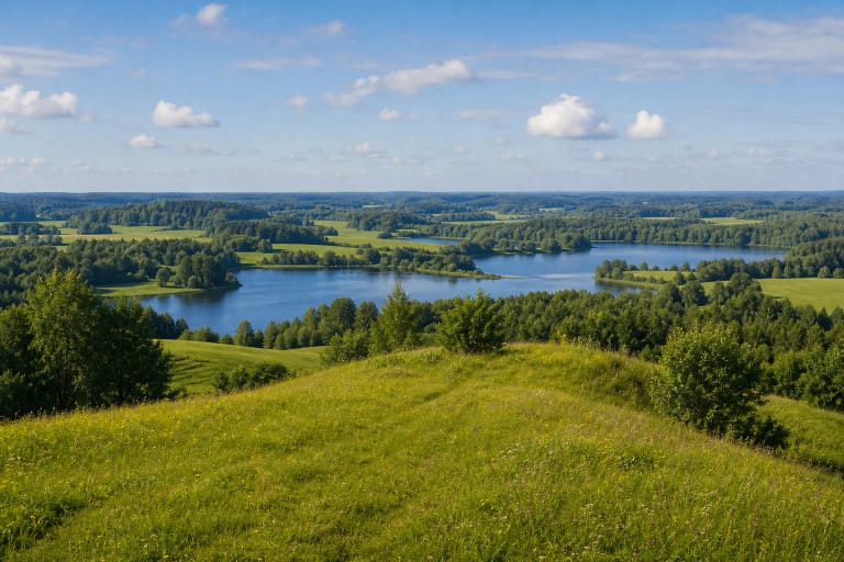
Spindžius lies in Trakai District, about 10 kilometres east of Aukštadvaris and 1.5 kilometres south of the Vilnius-Prienai highway. The Universal Lithuanian Encyclopaedia describes it as a distinct lake in the Aukštadvaris Regional Park landscape, rather than simply another name for Spindžius Forest or the nearby village.
Several similar names occur in the same area. Spindžiukas is a smaller neighbouring lake, Spindžius Forest surrounds most of the water, and Spindžius village is a separate settlement. Check that your navigation result is the lake itself before setting out.
The official Spindžius Landscape Reserve page gives the point 54.573, 24.678. It is a central landmark for the lake and reserve, not a promise of a beach, car park, or single entrance to the water.
A glacial trough, an island, and the River Strėva
Spindžius is a glacially formed lake. The Encyclopaedia gives an area of 106.7 hectares, a northwest-to-southeast length of 2.6 kilometres, a maximum width of 770 metres, a surface elevation of 126.5 metres, a maximum depth of 24.5 metres, and an average depth of 10 metres. Its catchment covers 35.6 square kilometres and its very winding shore is 6.7 kilometres long.
The River Strėva runs through Spindžius, an unnamed stream enters at the southeastern end, and the lake belongs to the Strėva basin. The Encyclopaedia gives a through-flow of about 90 percent, so its water and scenery belong to a living headwater system rather than a closed woodland pond.
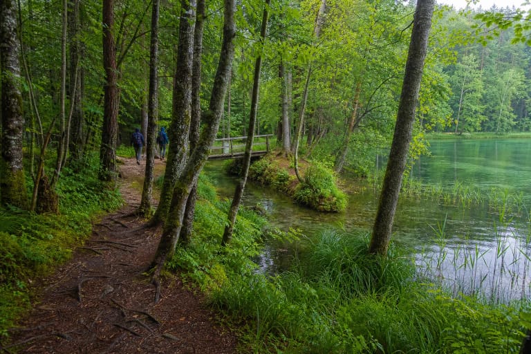
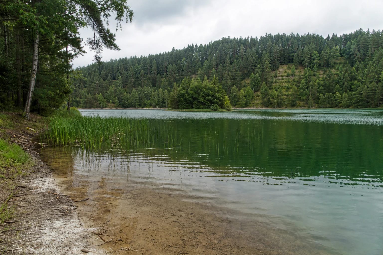
The lake has an island. Its shore is mostly narrow and muddy, with locally calcareous sections where lake chalk formed, plus reeds and sedges. This edge is attractive for photographs but is not everywhere suitable for wading, launching a boat, or searching for a comfortable bathing place.
The values of the Spindžius Landscape Reserve
Lake Spindžius and its surroundings belong to the Spindžius Landscape Reserve. Saugoma.lt gives the reserve an area of 1,360 hectares and says it protects the upper Strėva depressions, forests, wetlands, and lakes, the lake's distinctive water regime, and valuable habitats.
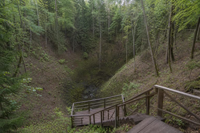
The reserve description includes western-taiga forest, wet woodland, spring-fed wetlands, calcareous fens, and other habitats of European Community importance. This is a biodiversity area rather than an evenly landscaped city park: stay on paths and do not enter wetlands to look for rare plants.
The Encyclopaedia records the Lausgeniai burial mounds on the lake's southwestern shore and the graves of 1831 rebels in Spindžius Forest to the northwest. Treat these traces of cultural history respectfully, and do not dig or move stones or other objects.
High shores and practical route planning
The shores are mostly high and steep, with springs in places and wet ground elsewhere. Several terraces stand out along the northern shore, rising in places up to 40 metres above the water. The southeastern end is more open, while Spindžius Forest closes around most of the remaining shoreline.
Use a lawful road and a clearly marked local access. The reserve's central coordinate does not describe every approach, parking option, or shore path. The related Strėva Green Trail offers a longer walk through this lake district, but it is a several-hour natural woodland route, not a short paved path around the whole lake.
Algae can sometimes give the water a greenish tint, but colour depends on light, weather, and season. The green seen in a photograph is not a permanent lake feature, so plan for the landscape rather than one particular colour.
Visiting a wild waterside safely
Mud, sedges, spring-fed slopes, and sudden changes in shore height call for sturdy shoes and a margin from the water. A wet terrace can be slippery after rain, and ground beside a wetland may not support a person's weight.
The Encyclopaedia's dimensions do not confirm a supervised bathing site, lifeguard service, or current water-quality result. Swim only where local signs and current information allow it, supervise children continuously, and do not step onto ice without an official safety confirmation.
Leave only footprints in the protected landscape: do not make new fire sites, drive over the forest floor, paddle to the island merely for a photograph, or remove chalk, plants, or other natural objects. Spindžius is best experienced as a sensitive lake-and-forest complex.