- Place
- Alytus City Municipality
- Region
- Dzūkija
- Type
- state botanical reserve with an ecological educational trail
- Address
- Vidzgiris Forest, southern Alytus
- Coordinates
- 54.37700, 24.03100
- Visit duration
- 1.5-3 hours for the roughly 3 km educational trail and nature stops
- Best time
- spring for the deciduous forest or a dry early-autumn day; walk in daylight and check current conditions
Vidzgirio botaninis draustinis, Vidzgiris Reserve, Vidzgiris Forest Botanical Reserve
The reserve is not the whole of Vidzgiris Forest
The state Vidzgiris Botanical Reserve was established on September 27, 1960. The Saugoma.lt list of botanical reserves gives 387.9 ha, while the individual record rounds this to 387 ha. An older Universal Lithuanian Encyclopedia entry gives 386.7 ha, so about 388 ha is the clearest visitor-facing figure; use the official protected-area map, not the approximate forest name, for boundaries.
Alytus City Municipality describes the whole of Vidzgiris Forest as a 452 ha woodland. The entire forest is therefore not a botanical reserve. Municipal environmental-monitoring documents state that the boundary of the Natura 2000 Vidzgiris Forest site coincides with the reserve boundary, but that formal protected territory is not synonymous with every recreation path or destination in the wider Vidzgiris locality.
The reserve was created to conserve a natural southern Lithuanian forest complex in the Nemunas Valley and sites of rare plants. Habitat protection is its primary role. The ecological educational trail provides a way to encounter it, but the trail is one visitor route within the reserve, not another name for all of it.
Hornbeam woods, slopes, and documented species
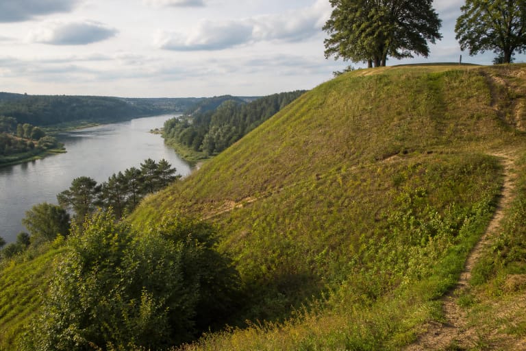
Vidzgiris is defined by mature broadleaf forest. The Alytus municipal description identifies Lithuania's largest hornbeam wood here, together with broadleaf and mixed forest, ravine and slope forest, dry oakwood, alluvial forest, and places shaped by carbonate-rich springs. The Kirmija stream, its ravines, and the Nemunas terraces create pronounced relief, so this is not a level urban park.
The official trail account mentions common ivy, great crested and smooth newts, fire-bellied toads, middle spotted woodpeckers, and black woodpeckers. Protected-habitat documents also name the great crested newt, fire-bellied toad, and hermit beetle among conservation targets. These are documented values of the territory, not a promise that a visitor will see them at a particular stop.
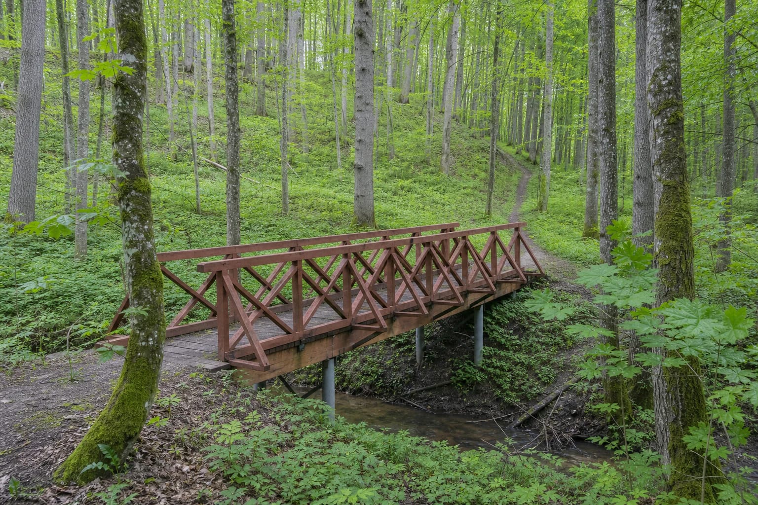
Old hornbeams, oaks, lindens, and maples form a layered stand, while damp hollows alternate with drier slopes. Ground flora is easiest to read in spring before the canopy closes, but plants must not be picked or moved, and visitors should not leave the official route to seek sensitive species.
A roughly 3 km trail with 18 stops
Vidzgiris Ecological Educational Trail opened in 2003. Official Alytus environmental material gives a length of about 3 km, and the municipality's visitor page describes 18 stops. They include a ravine, forest-edge meadow, hornbeam stands, a newt pond, the Kirmija stream, old pines, a fire-bellied toad pond, a Nemunas meadow and terraces, and old hornbeam forest.
Radžiūnai Hillfort is the twelfth official stop. The route then descends towards the stream delta and the Nemunas landscape, joining botany, water-shaped landforms, and an archaeological site in one walk. Radžiūnai legitimately belongs in the trail account, but it is not Alytus Hillfort in another part of the city.
The municipal diagram marks a main trail, an additional section, and connecting paths. This helps explain why online route records sometimes give different distances. Plan with the official diagram and on-site marking rather than treating every woodland track in Vidzgiris as part of the 3 km educational trail.
Access, the map point, and trail conditions
The coordinates 54.377, 24.031 come from the official Saugoma.lt reserve record and are labelled here as a representative territory point. They are not a precise car park or the only entrance. A municipality-led walk in 2024 met at the junction of Vidzgirio and Pulko streets, where its announcement said the reserve begins, but this was the meeting point for that specific walk, not evidence of one permanent trailhead for every visit.
The exact Google Maps card is named "Vidzgirio botaninis draustinis" and has Place ID ChIJ_____zKx4EYRZtfyvSBCMn4. Its rating was 5.0/5 on 2026-07-15. Because the reserve is broad, the centre of the card is not sufficient for navigation: select an approach shown by the official diagram and check signs on arrival.
The route has natural surfaces, roots, ravine slopes, damp sections, and small timber footbridges. Rain or thaw can make it muddy and slippery, while storms may leave fallen branches. Official sources do not confirm step-free access for the full route, so wear stable footwear, use tick protection, and leave enough daylight for uneven sections.
The memorial, recreation sites, and responsible visiting
The Jewish Holocaust site and memorial in Vidzgiris Forest on the Pulko Street side is a separate place of remembrance. It is not named among the 18 ecological educational trail stops, so it should not automatically be folded into the botanical route or treated as a trailhead marker. Formal protected-area and memorial boundaries must be read separately.
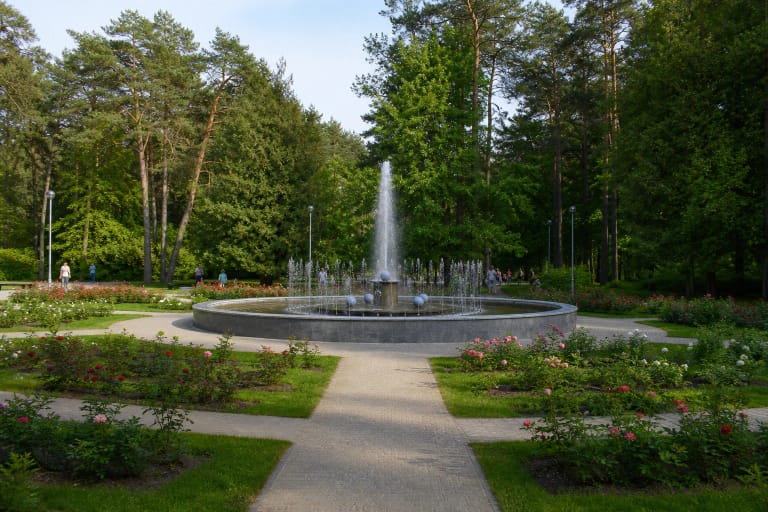
The Greater and Lesser Dailidė lakes, Alytus City Garden, and other urban recreation spaces are not infrastructure of Vidzgiris Botanical Reserve either. They can be combined in a same-day itinerary, but their beaches, events, opening arrangements, or facilities say nothing about conditions on the reserve trail.
On the research date, official sources stated no ticket office, admission price, or fixed opening hours for the open reserve and educational trail. Visit in daylight, stay on the route in sensitive areas, do not pick plants or disturb deadwood, take litter away, and follow on-site signs. Check the latest Alytus municipal information before setting out because trail condition and temporary restrictions can change.