- Place
- Jurbarkas District Municipality
- Region
- Lithuania Minor
- Type
- fish pass and public riverside space
- Address
- Viešvilė, Jurbarkas District Municipality
- Coordinates
- 55.07293, 22.38602
- Visit duration
- 20-45 minutes
- Best time
- daylight from spring to autumn, avoiding floods and ice
Why a fish ladder is needed
Weirs and other artificial barriers interrupt river continuity and prevent fish reaching upstream habitats. A ladder creates a sequence of small rises and quieter pools that fish can negotiate against the current.
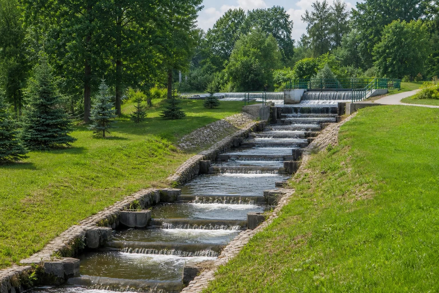
Ministry of Environment landscape guidance presents the Viešvilė ladder as a measure that both ensured fish migration and became the spine of a new park. It combines ecological engineering with public space.
Stepped cascades in a village park
Visitors see a long stone-reinforced channel with low steps. Rather than one high waterfall, flowing water forms many small cascades and calmer sections.
Water volume, sound and the appearance of individual steps vary with the season. Current can strengthen after rain and edges become icy in winter.
The fish ladder is not the strict reserve
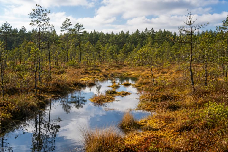
The fish ladder stands in Viešvilė's public village setting. Viešvilė Strict Nature Reserve is a separate protected area preserving the basin, bogs and Karšuva Forest ecosystem.
Do not infer or bypass reserve access rules from the fish ladder's location. Use only official protected-area guidance to learn about the reserve.
A safe and responsible visit
Stay on paths and behind railings, and do not let children approach the current alone. Never enter the channel, catch or disturb fish, and keep dogs controlled.
The coordinates mark the ladder, not guaranteed parking. Leave vehicles legally according to signs and respect temporary park maintenance.