- Place
- Molėtai District Municipality
- Region
- Aukštaitija
- Type
- protected glacial channel lake
- Address
- Lake Siesartis, Molėtai District; the map point marks the lake centre, not public access
- Coordinates
- 55.21922, 25.49042
- Visit duration
- 1-3 hours on shore; half a day by boat
- Best time
- May to September; choose morning for calmer water
Siesartis Lake
Published areas disagree, while the depth is clearer
VLE gives Siesartis an area of 532 hectares, length of 7.4 km and width up to 1.8 km. The Environmental Protection Department card updated on 2026-07-02 gives 520.1 hectares, while Wikidata records 519.5 hectares. Dataset boundaries, water levels and measurement methods can produce different values, so this guide does not claim one undisputed area.
VLE gives a maximum depth of 37.8 metres and average depth of 11.3 metres. The lake was dammed in 1976, raising its level by about 0.3 metres; the River Siesartis flows out toward the Šventoji.
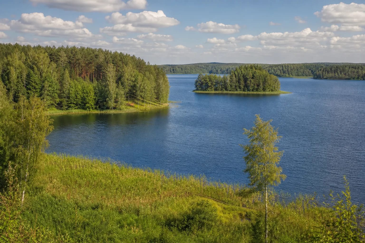
Six islands and Birutė Island
The deeply indented shore extends for about 32 km. Six islands cover 37 hectares; Birutė, the largest, is about 1.5 km long.
Headlands and islands lengthen any water route. Land only at legal public places rather than every appealing forest bank.
Siesartis Hydrographic Reserve
The lake belongs to Labanoras Regional Park. The Protected Areas Service says that the roughly 900-hectare Siesartis Hydrographic Reserve was established in 2025 to protect the structure of this distinctive watershed lake with its islands and peninsulas.
Siesartis, Rudesa and Mindūnai forests reach different shores. The protected status concerns more than scenery, so camp, light fires and drive to the water only where officially permitted.
Boating rules published for 2026
The Environmental Protection Department card updated on 2026-07-02 permitted unpowered craft and electric motors throughout the boating season. A petrol or diesel engine up to 10 hp or 8 kW was permitted from 21 June to the end of the season; stronger ordinary engines were prohibited for recreational use.
Powered craft must remain 100 m from shores, islands, bathing areas and marked diving zones, except at minimum controllable speed or in specifically marked locations. Jet skis and other internal-combustion craft driven by a water-jet pump are prohibited. Recheck the official card because rules can change.
Planning legal access
The map pin marks the lake centre, not a beach. Select public access through park, municipality or official campsite information and respect private shores.
Carry a buoyancy aid and weather plan when boating. Confirm fishing permits and motor restrictions before travelling.