- Place
- Alytus District Municipality
- Region
- Dzūkija
- Type
- lake and wetland landscape site
- Address
- Lake Žuvintas, Alytus District Municipality
- Coordinates
- 54.45700, 23.63700
- Visit duration
- 1-2 hours at the southeastern shore, nature trail, and visitor centre
- Best time
- early morning for birdwatching, and spring or autumn during migration
Žuvinto ežeras, Lake Žuvintas, Žuvinto palios
Žuvintas: large in area, shallow in depth
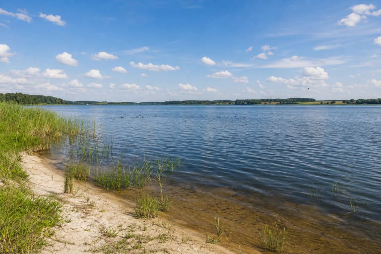
Žuvintas lies in Alytus District Municipality, about 8 kilometres north of Simnas. The Encyclopaedia of Lithuania gives an area of 971.2 hectares, a southwest-to-northeast length of 5.7 kilometres, and a maximum width of 3 kilometres. The lake surface is at an elevation of 86.8 metres.
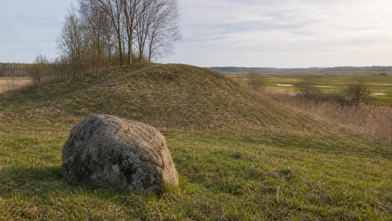
This is not a single developed shoreline area but a broad lake-and-wetland landscape. The clearest visitor access is on the southeastern shore at Aleknonys, beside the Žuvintas Biosphere Reserve directorate and visitor centre. Other shore sections are within the protected area and are not intended for unrestricted walking.
A glacial basin and flowing water
Žuvintas is a relict lake: its basin formed in the hollow left by a former block of glacial ice. It is eutrophic and gradually infilling, with an average depth of just 0.67 metres. The current Encyclopaedia of Lithuania entry gives a maximum depth of 2.5 metres in the southeastern part, so the lake's large area should not be confused with great depth.
The Bambena and Rudė stream flow into Žuvintas, while the Dovinė flows out of its northern part. A sluice regulator built at the Dovinė outlet in 1968 raised the water level by 30-40 centimetres; in 2010 it was rebuilt as a spillway and fish pass. These changes help explain why the water regime is an important part of the lake's landscape.
Reed beds and floating islands
Žuvintas has low, marshy shores and is surrounded by Žuvintas Marsh. Bulrush, reeds, water lilies, yellow water-lilies, and other aquatic plants grow along the water. Unrooted plant thickets and their tangled roots form unstable floating islands, so the boundary between open water and vegetation is always changing.
The Encyclopaedia of Lithuania says that between 1951 and 2005 the open-water surface decreased by about 2.85 hectares per year as emergent vegetation expanded. UNESCO describes the Žuvintas landscape as a glacially shaped wetland system where lakes sit alongside reed beds, sedge fens, mires, and pine stands.
A landscape shaped by bird migration
Shallow open water, reed beds, and surrounding wetlands support waterbirds and marsh birds. Migrating goose gatherings are regularly observed on Lake Žuvintas, with counts made in spring and autumn. The largest spring gathering reported by the Encyclopaedia of Lithuania was 38,540 birds, recorded on 15 March 2023.
Choose a quiet early morning for observation and bring binoculars, but do not enter reed beds or marshes on your own. Žuvintas has had protected-area status since 1937; since 2002 the lake and its surroundings have formed part of Žuvintas Biosphere Reserve.
The Aleknonys trail and visiting limits
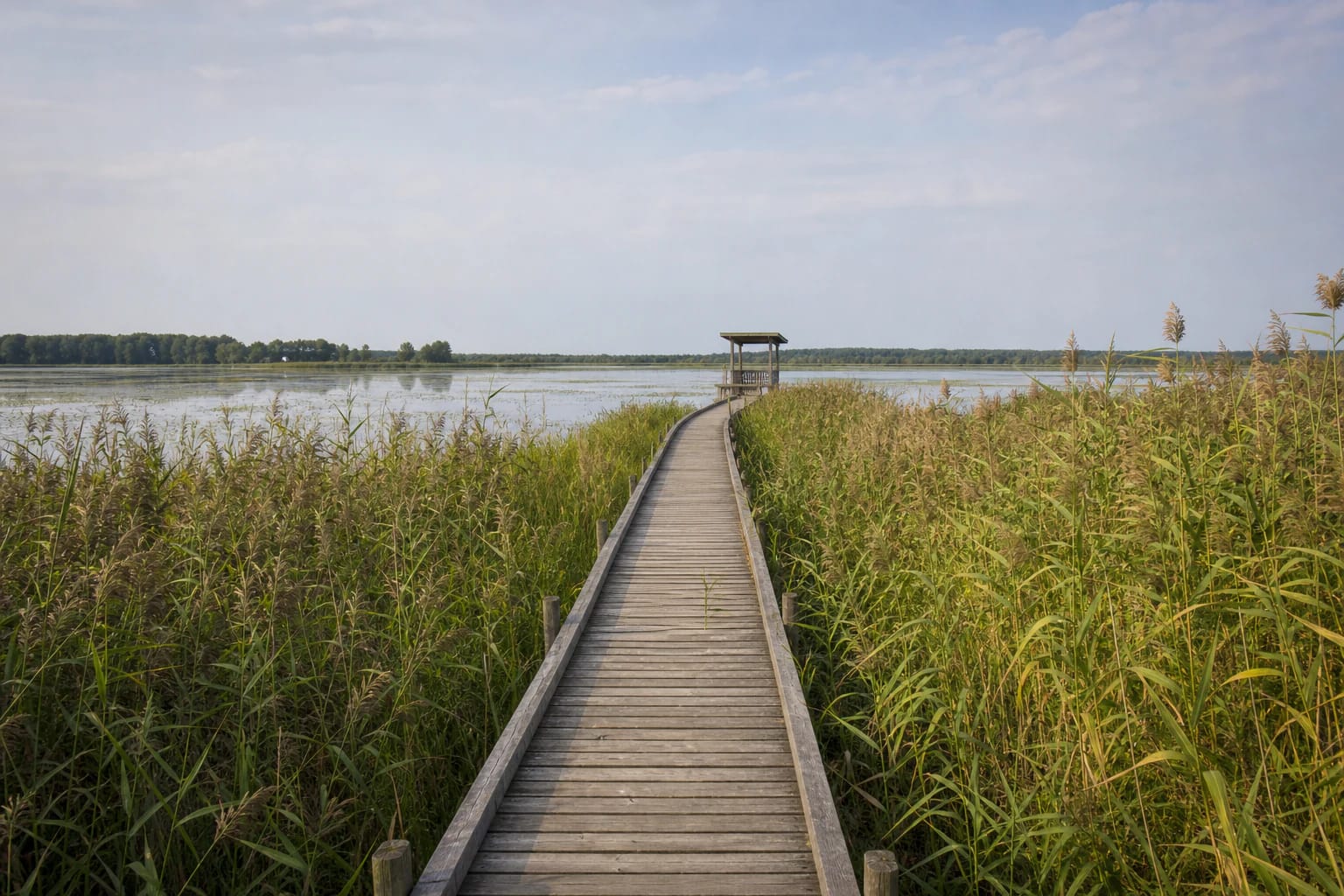
The Žuvintas Lake Educational Trail starts beside the reserve directorate building on the southeastern shore. The current Saugoma object page gives a length of 410 metres, while the Encyclopaedia of Lithuania rounds it to 400 metres. Most of the route is a wooden boardwalk over the marshy shore, ending at a birdwatching tower with an exhibition of photographs and descriptions.
A car park is beside the visitor centre, whose rooftop viewing point looks across Lake Žuvintas. Saugoma states that the educational trail may be visited without a separate permit from 08:00 to 20:00. Check the directorate's current information before travelling and stay on the marked route.
Fishing is prohibited in the Žuvintas Strict Nature Reserve. The purpose of a visit is to observe the landscape and wildlife from designated places, not to find an improvised way to the water or travel through the reed beds.