- Place
- Pabaiskas Eldership, Ukmergė District Municipality
- Region
- Aukštaitija
- Type
- glacial-channel lake and public bathing area
- Address
- Jurdonys village, Pabaiskas Eldership, Ukmergė district
- Coordinates
- 55.12440, 24.75488
- Visit duration
- 1-3 hours for recreation and swimming; longer for fishing or boating
- Best time
- June-August for swimming; spring and autumn for relief and quiet shores
Lake Žirnajai, Žirnajo Lake, Ežeras Žirnajai
Žirnajai and Lake Žirnajai
The official VLE article is titled Žirnajai, while visitors and travel searches often say Lake Žirnajai. It is the same water body in Ukmergė District Municipality, about 3 km south of Pabaiskas, near the Širvintos District boundary.
The map coordinate 55.124397, 24.754877 is a gazetteer point near the lake’s centre, not the entrance to the Jurdonys beach. The public visitor area is in Jurdonys village, so when navigating, check both the lake-centre point and local signs for the bathing and boat-launch area.
Glacial-Channel Relief and a Large Water Body
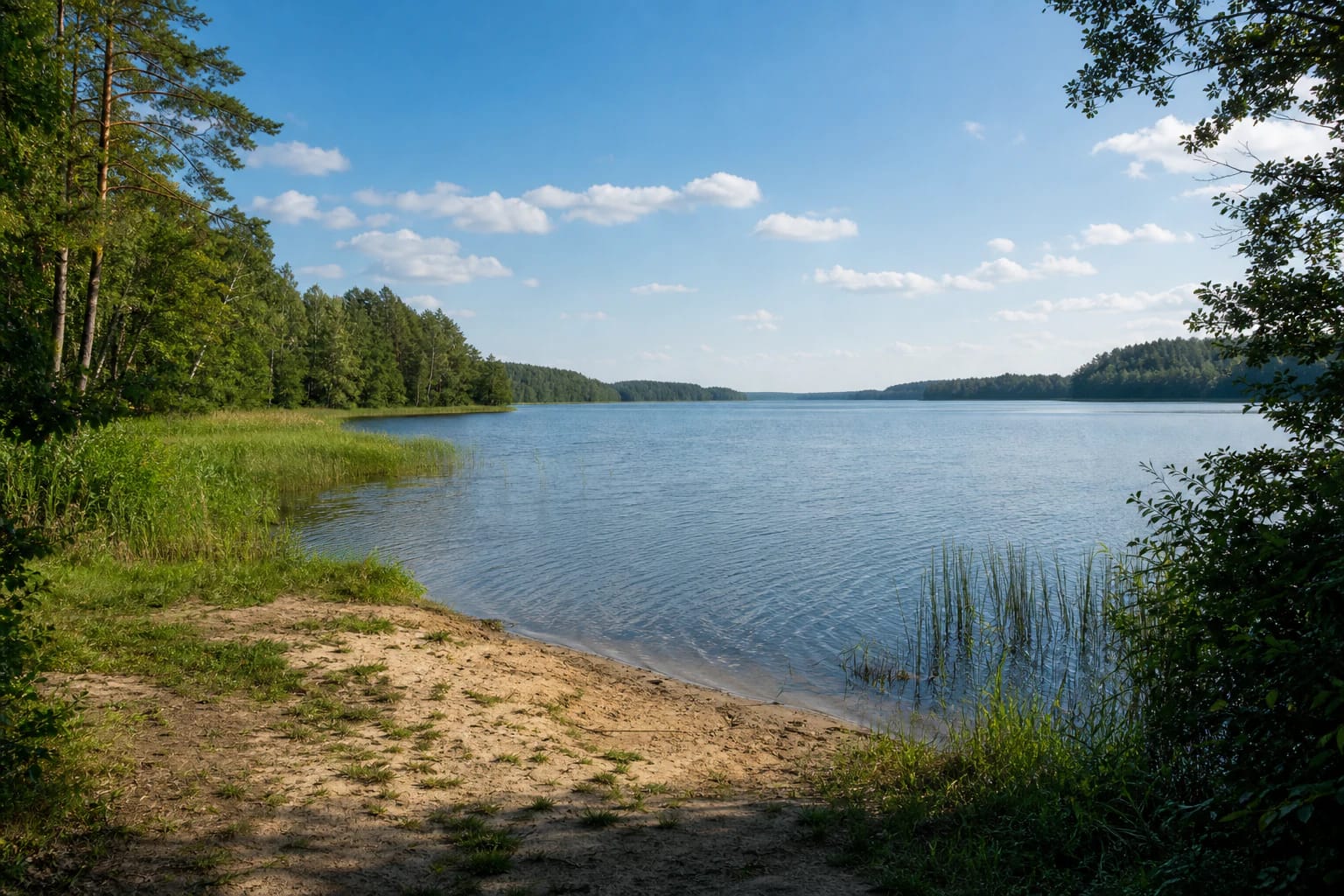
VLE gives Lake Žirnajai an area of 192.4 hectares, a north-south length of 3.1 km, and a maximum width of 1 km in the south. The lake surface is at 110.5 m, its greatest depth is 25.6 m, and its average depth is 9.8 m. This is not a shallow pond, so swimmers and boaters should consider wind, distance from shore, and their own ability.
The lake is of glacial-channel origin, its basin covers 28.9 km², and its winding shoreline is about 7.8 km long. Most shores are high, so access and views can vary substantially around the lake; one public beach does not describe every shore.
Water System and Shore Vegetation
Gelvė, flowing from Lake Gelvė, the Vorupė, and two more streams flow into Žirnajai, while the Žirnaja flows out. The lake belongs to the Šventoji basin and has a 30 percent flow-through rate. The southern connection with Gelvė and the northern outlet help show that this is part of a linked lake-and-stream system, not an isolated basin.
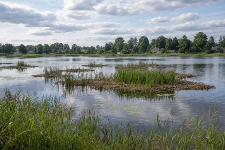
VLE describes a narrow sandy shallows, reeds, sedges, and underwater plants, with a muddy bottom farther out. These details matter to visitors: water that looks easy near shore does not mean that bottom conditions, vegetation, and depth are uniform away from the bathing area.
Jurdonys Public Beach and Boat Launch
In 2022, Ukmergė District Municipality reported that a 0.8-hectare plot acquired for public use in Jurdonys had been turned into a public bathing area, with a boat-launch site added beside it. The municipality also reported an access road, parking area, and pontoon landing.
The launch site is intended for small recreational craft and is meant to reduce shore erosion and disturbance. That does not promise access for every vessel or vehicle: use the marked launch, follow local rules, and keep a safe distance from swimmers.
Water Quality and Seasonal Planning
On 2026-06-15, Ukmergė District Municipality reported that samples taken from Lake Žirnajai on June 12 met applicable hygiene requirements and that swimming was allowed. This is a result for a specific sample and date, not an unlimited guarantee for the whole season.
Before swimming, check municipal or public-health updates, especially after storms, heat, or visible algae. For a half-day visit, bring drinking water, sun protection, suitable shore footwear, and a rubbish bag; do not leave waste or drive onto sensitive shore ground.
What Lies South of Žirnajai?
VLE mentions Totoriškis Hillfort south of Žirnajai. It connects the lake’s geography with the wider historic landscape around the Ukmergė and Širvintos boundary, but the hillfort is not the same object as the lake beach and should not be reached by driving across shore properties.
Žirnajai suits visitors who want a substantial water body rather than an amusement park: swim at the public area, launch a permitted small craft, fish according to the rules, or simply observe the glacial-channel relief.