- Place
- Švenčionys District Municipality
- Region
- Vilnius region
- Type
- hydrotechnical dam and reservoir site
- Address
- by Pabradė Reservoir, Pabradė, Švenčionys District
- Coordinates
- 54.99644, 25.74640
- Visit duration
- 45 minutes to 1.5 hours
- Best time
- a bright, dry part of the year when the reservoir shore and dam surroundings are easier to read
Pabradė Dam, Pabradė Cardboard Factory Dam
The dam's official name and identity
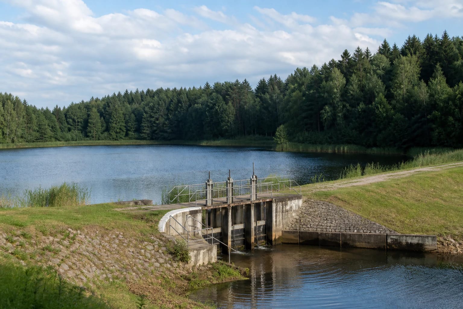
The official name of this place is Pabradės tvenkinio (Pabradės kartono fabriko) užtvanka. The longer form matters because this is not simply a generic point beside water: it identifies the hydrotechnical structure associated with the Pabradė cardboard factory and separates it from other shore locations around Pabradė.
Maps may display the shorter name Pabradė Dam, so compare that label with the full name when navigating. The coordinate marks a representative visitor point by the dam and reservoir; operating infrastructure and restricted technical areas are not visitor access routes.
The cardboard factory's historical layer
Pabradė Reservoir is tied to the cardboard factory's activity and to a dam failure in the middle of the twentieth century. During the failure, a large flow entered the Žeimena, damaged bridges, and affected buildings in Pabradė, so the site belongs to the town's memory as well as to its industrial history.
The dam failure is associated with the mid-1950s; 15 April 1957 provides one precise reference point for the event. The failure became a significant part of Pabradė's history, not merely a technical footnote beside the water.
The reservoir, shore, and water monitoring
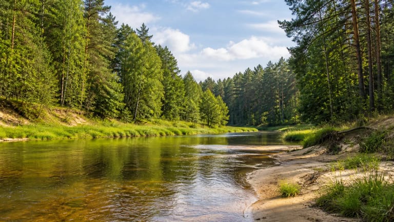
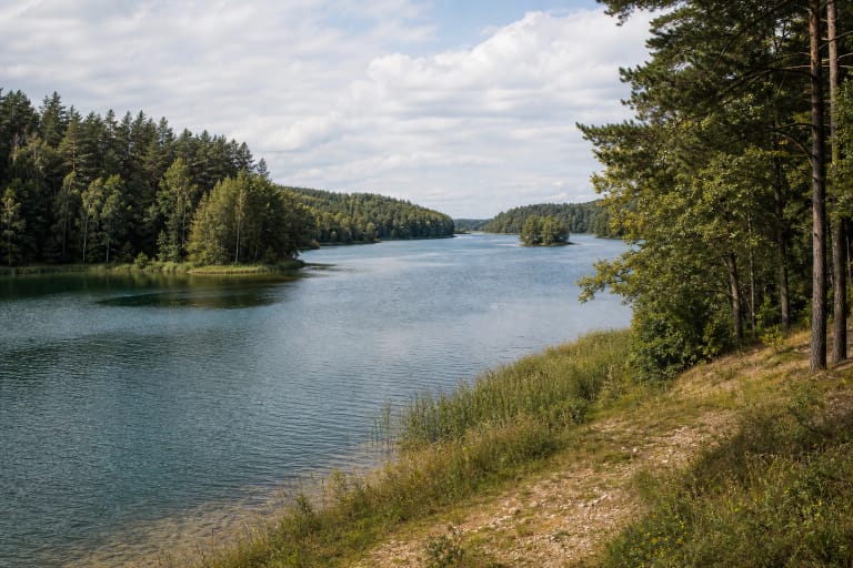
Pabradė Reservoir covers roughly 31.05 hectares near the town and combines wooded and more open shore scenery. From the representative point, visitors can take in the scale of the water, notice shoreline vegetation, and see how the hydrotechnical structure fits into the water landscape of the Dubinga and Žeimena area.
Pabradė Reservoir appears in bathing-site characteristics and monitored bathing-site lists. That does not mean conditions are identical every day, so check the municipality's latest notices before swimming and follow signs at the shore.
Planning a safe visit
These coordinates are a representative dam-side point intended for orientation rather than one definitive entrance. On arrival, look for the publicly accessible road or shore side, because approaches may be maintained differently and parts of the technical area may have access restrictions.
A dry, bright day makes it easier to read the ground and spot slippery areas, but water remains a safety concern. Do not climb on structures, enter fenced technical ground, cross a water outlet, or ignore a restriction simply because the map marker appears close to the dam.
What this stop adds to a Pabradė route
Pabradė Reservoir Dam is valuable because landscape and local industry meet in one modest place. Look beyond the water view to the way a single structure connects factory activity, the town's growth, the memory of the failure, and the recreational shore that visitors see today.
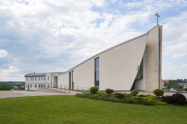
Pabradė's church, the Žeimena River, and Žeimenys make it possible to build a broader day route from this stop. Near the water, allow time for a safe pause and follow signs posted along the shore.