
Travel spots in Lithuania
Hillforts in Lithuania — page 2
Continue the collection with entries 101-156 of 156.
Search covers all 156 places in this category.
This category on the map →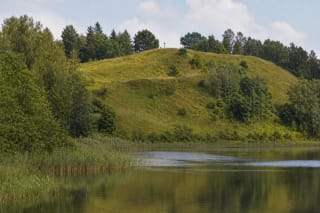
Pakalniai Hillfort, also called Švedų Baterija, stands near Pakalniai village on the south-western shore of Vidinkstas Lake.
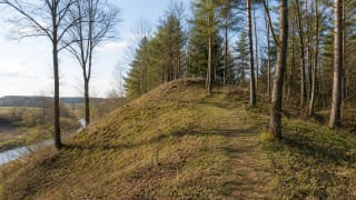
Pakalniškiai Hillfort, also called Kleboniškiai Hill, in Radviliškis District is a Daugyvenė valley site dated to the first millennium BC, with a foothill…
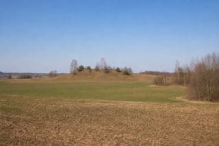
Paliūnai Hillfort in Lazdijai District is a broad isolated rise among cultivated fields and wet low ground.
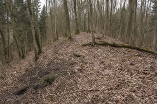
Panemuninkai Hillfort lies hidden in Punia Forest on a narrow promontory of the upper terrace above the left bank of the Nemunas.
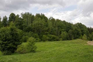
Papiliakalniai Hillfort lies in woodland near Juodeliai, on the eastern end of a massive hill that dominates its surroundings.
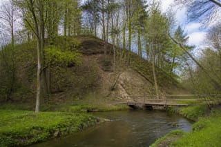
Paplienijos Hillfort stands beside Paplienija village on the right bank of the Minija.
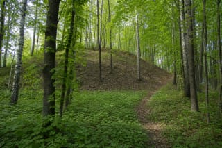
Paragiškės Hillfort with Outer Bailey is a wooded archaeological complex about 200 metres north of Lake Kortinas.
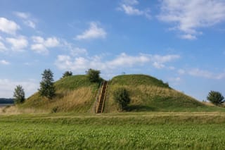
Pašlavantys Hillfort rises from the open fields of Šilavotas Eldership as a detached truncated-cone mound.
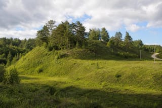
Pašventupys I Hillfort, also known as Vangai Hillfort, occupies a highland spur beside the Šventupė and Nemunas valleys.
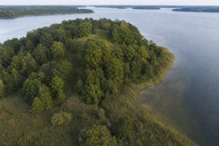
Paveisininkai Hillfort occupies a remote hill on the southern shore of Lake Veisiejis, now almost cut off from dry land by marsh after the lake level was…

Paverkniai Hillfort and Foot Settlement, also known as Ginkaus Hill, is an almost completely river-eroded hillfort in Birštonas Municipality.
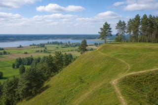
Pavištytis Hillfort is the highest-rising hillfort in Vilkaviškis District, standing in Vištytis Regional Park near Lake Vištytis and Lithuania's south-western…
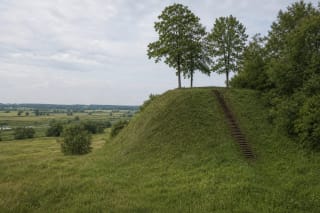
Piepaliai (Babtynas) Hillfort with Settlement stands in Piepaliai village on a high terrace promontory in the Nevėžis valley.
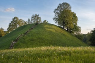
Piliakalniai Hillfort near Bartninkai is one of Suvalkija's clearest archaeological complexes.
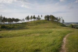
Pilių Hillfort, registered as the Pilių and Kaltinėnai hillfort known as Kepaluškalnis, rises on a spur shaped by two ravines northwest of Kaltinėnai.
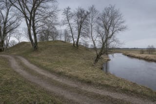
Piliūnai Hillfort, also known as Piliai, is a small archaeological complex on a left-bank spur of the Rausvė near its confluence with the Šešupė.

Poteronys Hillfort, known locally as Milžinų Kalnas or Giants' Hill, is a compact grassed earthwork on an upper-terrace promontory above the right bank of the…
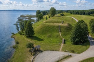
Prelomčiškė Hillfort rises on the western shore of Lake Dusia at the mouth of a small spring-fed stream, combining one of the broadest views in Meteliai…
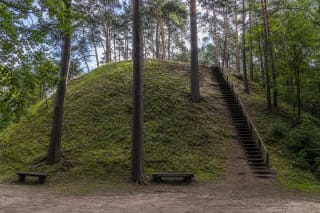
Pūčkoriai Hillfort is a separate 18-metre hill in the Vilnia Valley within Pavilniai Regional Park.
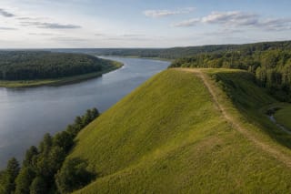
Punia Hillfort, also called Margis Hill, rises at the Nemunas and Punelė confluence.
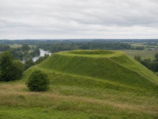
Puodkaliai Hillfort is a national-significance monument in the Register of Cultural Property (code 3254) in Skuodas District, on a hill between the Bartuva and…
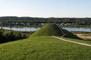
Pypliai Hillfort occupies a promontory on an upper terrace of the Nemunas at the eastern edge of Kačerginė Forest.
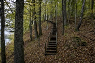
Radžiūnai Hillfort, also called Pilaitė and Alytus II Hillfort in older sources, lies concealed in Vidzgiris deciduous forest between the Kirmija ravine and the…
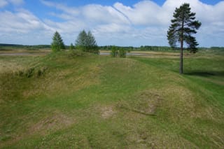
Raginėnų Hillfort with Settlement occupies high ground beside the left bank of the Daugyvenė.
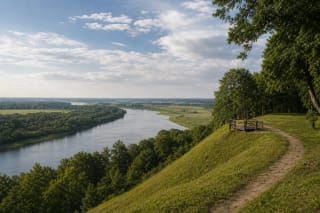
Rambynas Hill is a cultural and landscape place of Lithuania Minor on the right bank of the Nemunas, important for sacred-site traditions, the memory of the…
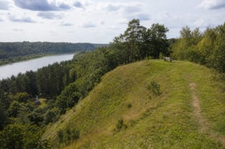
Ringovė Hillfort stands on a promontory on the right bank of the Nemunas, formed by the Ringovė and Krestinava ravines, within the Ringovė Entomological…
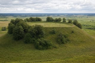
Rudamina Hillfort rises as a large isolated hill among wet meadows, about one kilometre south of Rudamina.
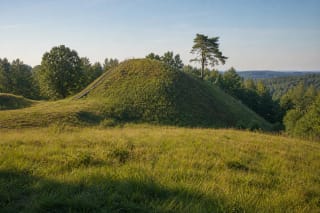
Rumbonys Hillfort occupies a promontory above the left bank of the Nemunas, bordered on the north-west by the Pilupis valley.
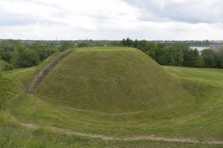
Salduvė, officially Žuvininkai Hillfort with Settlement, is an archaeological complex on Šiauliai's eastern edge: a circular platform, several ramparts and…
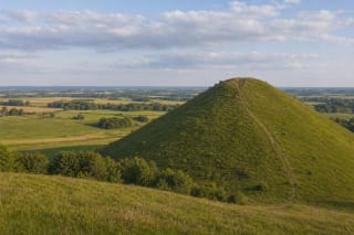
Šatrija Hill is one of Samogitia's most recognizable hillforts and viewpoints, known for archaeology, old-belief traditions, and legends about witches gathering…
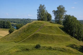
Šeimyniškėliai (Voruta) Hillfort near Anykščiai is one of the most extensively researched hillforts in Lithuania, linked with the possible site of Mindaugas'…
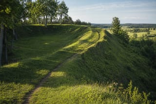
Senoji Įpiltis Hillfort near Darbėnai is one of Samogitia's most impressive Curonian hillforts.
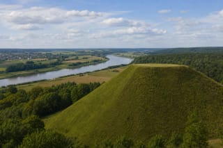
Seredžius Hillfort, known as Palemonas Hill, is one of Panemunė's strongest historic points: the fourteenth-century Pieštvė Castle stood here, above the Nemunas…

Šėtijai Hillfort, widely known as Jundakalnis, occupies a wooded promontory above the Liekė and Nemunas valleys.
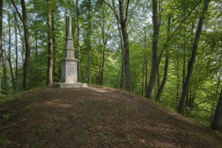
Skomantų Hillfort, also known as Ragokalnis and Papilys, stands west of Skomantai village on the right bank of the Veiviržas River.
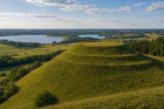
Sprūdė Hill is a high Samogitian hillfort with a wide panorama over the Varniai Basin, Lakes Biržulis and Lūkstas, Varniai, Luokė, and other regional hillforts.

Stirniai Hillfort is notable not for a castle named in chronicles but for its late recognition and unusually powerful earth defences.

The Sudargas Hillfort Complex consists of five hillforts on the left bank of the Nemunas near Burgaičiai and Grinaičiai villages - Vorpilis, Pilaitė, Bevardis,…
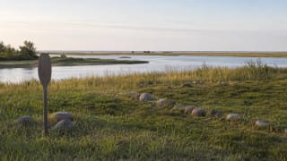
Šventoji Ancient Settlement is a nationally significant object in the Cultural Heritage Register (code 1813) and one of Lithuania's most important Stone Age…
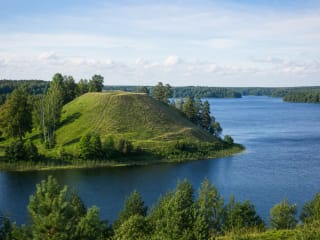
Taurapilis Hillfort stands on the southern shore of Lake Tauragnas.
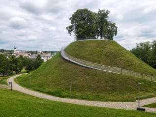
Ukmergė Hillfort is the city-centre site of Vilkmergė Castle by the confluence of the Ukmergėlė and Šventoji, dated to the fourteenth-mid-fifteenth century.
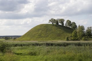
Upytė Hillfort, known locally as Čičinskas Hill, was the centre of the historic Upytė land, one of the medieval Lithuanian lands recorded in chronicles that…
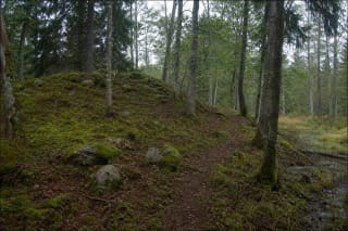
Vainagiai Hillfort rises in the forests of Kurtuvėnai Regional Park, surrounded by the wet Vainagiai landscape and dated to the early second millennium.
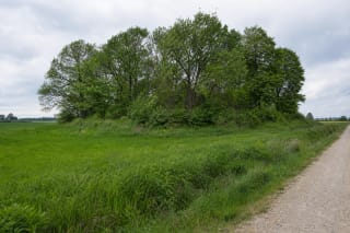
Vainatrakis Hillfort is a small deciduous-covered mound southwest of the confluence of the Vyčius and Striaunė.

Varnupiai Hillfort, with an ancient settlement and the mythological Padkavinis stone between the Žuvintas and Amalvas wetlands, is the largest and most…
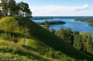
Velikuškės Hillfort rises with steep slopes above Lake Sartai in Zarasai District, in Sartai Regional Park.
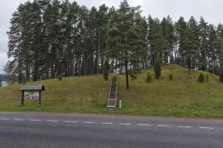
Velikuškės II Hillfort, called Sala, is a separate part of the Velikuškės archaeological complex in Sartai Regional Park.
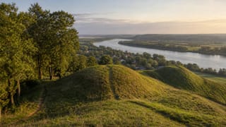
The Veliuona Hillforts by the Nemunas are one of Panemunė's key historic landscapes, linking Gediminas' Grave, Ramybės Hill, and Pilaitės with Junigeda, the…
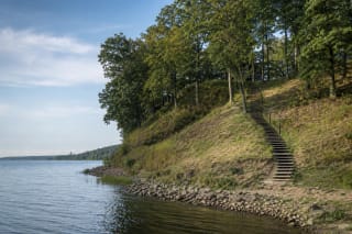
Vieškūnai Hillfort, also called Šuneliškiai Hill and Amaliai Hillfort, stands in Palemonas on a promontory of the upper terrace of the Nemunas Valley beside the…

Vištytis Hillfort, formally registered as Vištytis Hillfort and Settlement, occupies an isolated grass-covered knoll near Vištyčio Laukas II village.
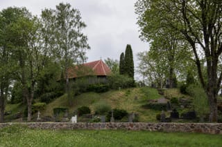
Žagarė I Hillfort, also called Raktuvė Hill, stands on the western edge of Žagarė on the right bank of the Švėtė.

Žardė Hillfort on the right bank of the Smeltalė is a modest but archaeologically exceptional place in Klaipėda, associated with the Curonian castle of Žardė…

Žarijos II Hillfort is hidden in deciduous woodland on a spur of the upper terrace above the left side of the Nemunas valley, about 350 m east of the separate…
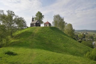
Žemaičių Kalvarija Hillfort, also called St John's Hill and Varduva Hillfort, brings two different but well-documented layers together on one 35 x 40 m summit.
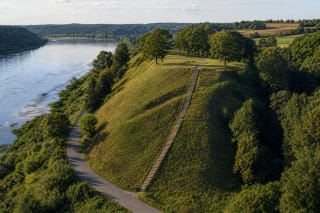
Žemoji Panemunė Hillfort I occupies a promontory on the left bank of the Nemunas above the Paausė ravine.
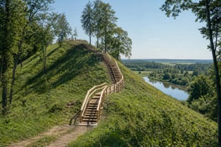
Žvelgaitis Hillfort is the most impressive part of Žagarė Esker, rising above the left bank of the Švėtė in Joniškis District.