- Place
- Radviliškis District Municipality
- Region
- Radviliškis District
- Type
- protected hillfort with a foot settlement
- Address
- Raginėnai, Pakalniškiai eldership, Radviliškis District Municipality
- Coordinates
- 55.79297, 23.86492
- Visit duration
- 45-90 minutes
- Best time
- in dry daylight, when the ramparts, ditch, and Daugyvenė valley are easiest to read
Raginėnų Hillfort, Hillfort known as Raganų Kalnas
A hillfort above the left bank of the Daugyvenė
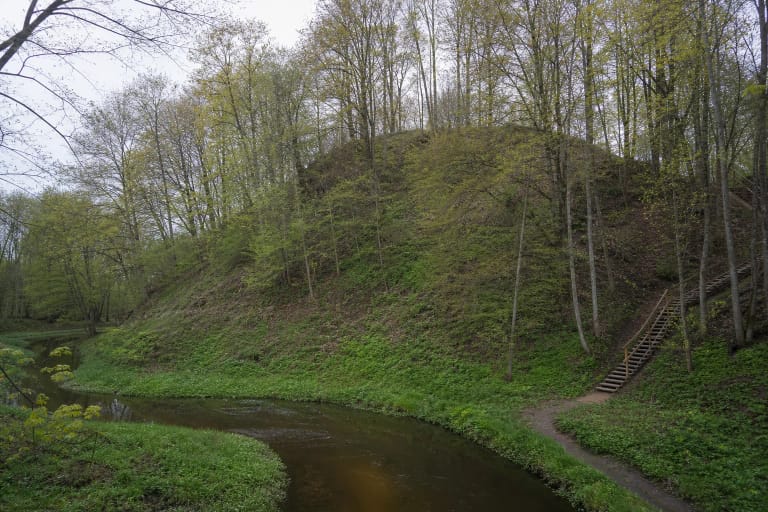
Raginėnų Hillfort with Settlement is in Raginėnai village, Pakalniškiai eldership, Radviliškis District. It occupies high ground beside the left bank of the Daugyvenė, so the river valley is part of the experience: look at the earthworks together with the setting that once formed a natural part of the landscape.
The Cultural Heritage Register lists the complex under code 23885. The hillfort itself is code 5548 and the foot settlement code 20510; these three registered components form one visitor stop, while the surrounding valley remains a wider landscape.
What the landform still shows
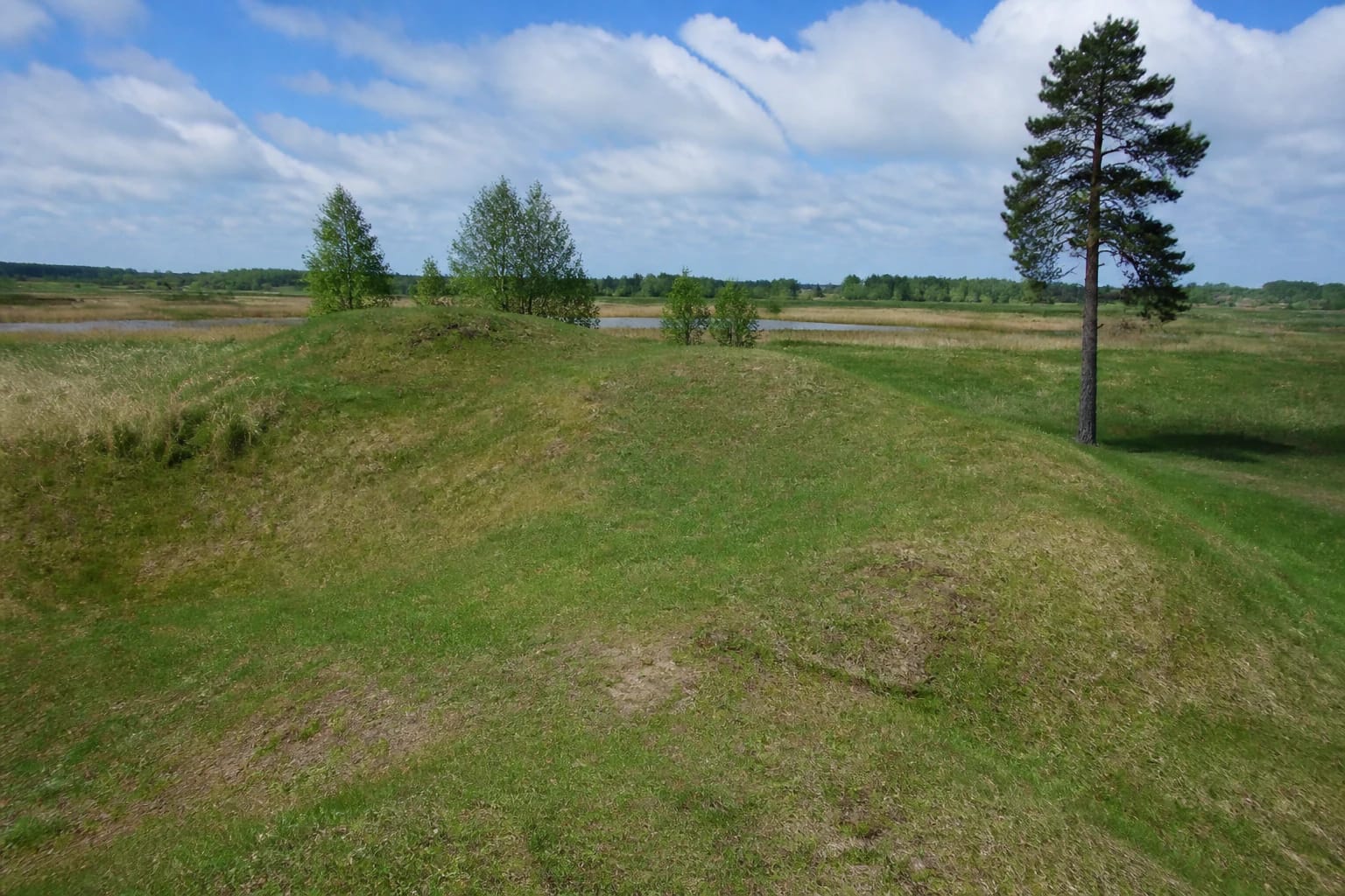
The summit is quadrangular and approximately 20 by 10 metres. Ramparts 1.5 to 3 metres high and about 17 metres wide were raised along the northern and western edges; below them are a terrace and ditch. The slopes are steep, reaching about 9 metres, so the shape is best understood by walking around the foot rather than from one point.
A foot settlement spread across about 3.74 hectares north and west of the hillfort. No old buildings survive as standing structures, but the archaeological evidence shows that the hill was part of a larger residential and defensive system. The visible ramparts are earthen landforms, not the remains of a masonry castle.
The foot settlement's archaeological layer
The foot settlement was investigated in 1996. Archaeologists found a cultural layer up to 20 centimetres thick with a hearth, postholes, a clay spindle whorl, coarse, smooth, and wheel-thrown pottery, and animal bones. These finds speak about everyday life as well as the hillfort's defensive role.
Other archaeological points lie nearby: a second-to-fifth-century burial mound is about 100 metres south, and a fourth-to-seventh-century burial mound is roughly 800 metres northeast. Do not search for them by trampling meadows or digging; the value of a protected landscape includes what cannot be seen at the surface.
The Raganų Kalnas name and chronology
Raginėnų Hillfort is dated from the first millennium to the beginning of the second millennium. It is also known as Raganų Kalnas. When visiting, use the formal complex name Raginėnų Hillfort with Settlement for orientation.
The landscape does not provide a verified legend that should replace its archaeological evidence. Read the place through its ramparts, ditch, foot settlement, and burial mounds. Those features show a long history of use without justifying an invented picture of a castle on the summit.
Access and respectful visiting
The Radviliškis District publication directs visitors from the Pakalniškiai–Rozalimas road, before the turn to Burbiškis: turn right and follow a field road for about 200 metres to the southern foot of the hillfort. Check the approach and road conditions before setting out, because this is not a town square with a permanent visitor centre.
Allow 45-90 minutes in dry weather. Use existing paths, protect the grass from erosion, keep vehicles off the ramparts, and leave artefacts in the ground. The field road can be more difficult after rain, so choose suitable footwear and assess the approach before setting out.