- Place
- Trakai, Trakai District Municipality
- Region
- Vilnius Region
- Type
- an island-studded lake in Trakai Historical National Park
- Address
- Lake Galvė, Trakai, Trakai District
- Coordinates
- 54.65113, 24.93127
- Visit duration
- 2-4 hours for shore panoramas and island views; longer with a boat trip or castle visit
- Best time
- May to October for island and castle views; early morning for a quieter shore
Galvė, Galvės ežeras, Lake Galvė in Trakai
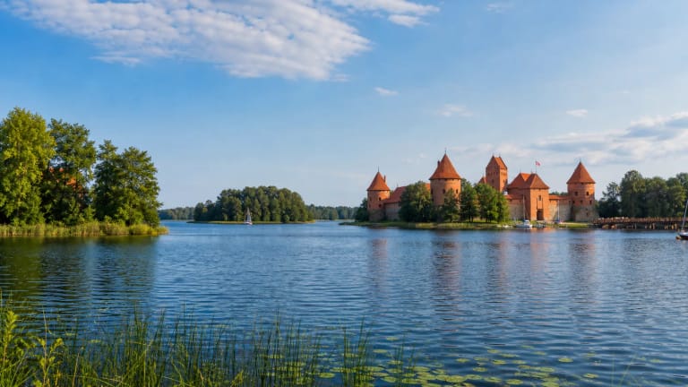
Lake Galvė is the whole lake, not only Castle Island
Lake Galvė lies on the northern edge of Trakai and is one of the defining elements of Trakai Historical National Park. This page describes the whole water body, its shores, islands, and relationship with Trakai. The separate Lake Galvė islands and Trakai Island Castle pages answer narrower questions about the archipelago and the museum site on Castle Island.
The coordinate 54.65112990, 24.93127430 supplied on this page is a central point for the whole lake, not a particular shore entrance, pier, or guaranteed parking place. For a specific activity, use an official access point, pier, or town waterfront path.
A 361-hectare lake with a deep tunnel valley
The Encyclopaedia of Lithuania gives Lake Galvė an area of 361 hectares, a north-to-south length of 3.2 kilometres, a maximum width of 1.75 kilometres, and a surface elevation of 148.4 metres. Its maximum depth is 46.8 metres, the average depth is 13.6 metres, and its very winding shoreline is about 12 kilometres long. That is a scale no single town waterfront can show.
Galvė has a complex origin: both tunnel-valley and dammed. Glacial channels shaped its basin and later water damming affected it, so the present Trakai landscape combines deep water, low shores, and many peninsulas. Two streams from the Neris basin flow into the lake, whose water-throughflow is about 20 percent.
Twenty-one islands between Trakai, Luka, and Skaistis
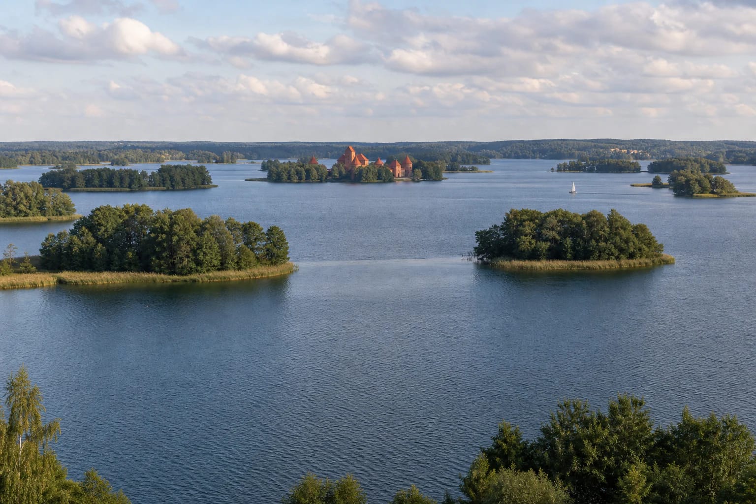
Lake Galvė has 21 islands with a combined area of about 14.9 hectares, most of them in the southern part of the lake. The largest include Pilies, Plytinė, two Vidurinės, Deimantinė, Valka, Raudų, Pirtsalė, Velnė, Karvinė, Banda, and Bažnytėlė, also called Cerkvelė. The islands are not just decorative points on a map: they give the lake its recognizable rhythm and create different views from every shore.
To the south, Galvė connects with Lakes Luka and Totoriškės, and to the east with Lake Skaistis. Trakai therefore sits beside a linked group of water bodies rather than one isolated lake. From a boat or a higher shore, look beyond the castle and notice how islands, peninsulas, and neighbouring lakes form one water labyrinth.
A lake that shaped Trakai's history
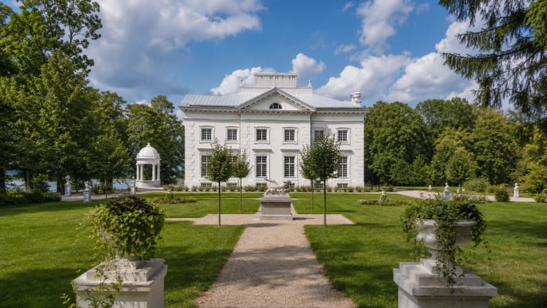
Trakai Historical National Park was established in 1991 to protect the valuable natural and cultural landscape of the Trakai lake district. The State Service for Protected Areas presents Galvė as one of the park's key waters, while its shores bring together Trakai Old Town, the Island and Peninsula Castles, and Užutrakis Park. The town's defensive and built form is directly dependent on the arrangement of the lakes.
Trakai Island Castle on Castle Island is Galvė's clearest historic landmark, but the lake itself is also the open space that separates and connects the peninsulas. Sports bases on the southeastern and western shores host water-sport competitions and training. Galvė is therefore not only a historical backdrop but a water body that is still actively used.
How to visit Lake Galvė beyond one panorama
For a first visit, combine several viewpoints: the town shore near Trakai Island Castle, the view back toward the castle from Užutrakis Park, and a short walk along public lakeside places where visitors may safely stay. The central lake-card coordinate does not tell you where to begin, so follow local signs on arrival and do not enter private land.
If you choose a lawful organised boat trip, kayak, or other water activity, the island layout becomes much clearer and Castle Island separates from the lake as a whole. VLE confirms sports bases on the southeastern and western shores, but rental points, routes, prices, and opening hours change, so check them with the chosen operator.
The lake's greatest depth and inflowing waters are reasons not to judge winter ice by sight alone. For swimming or boating, follow the day's weather, water conditions, local rules, and safety instructions. Early morning or a weekday usually makes it easier to see the archipelago calmly, but it does not make the water or ice inherently safe.