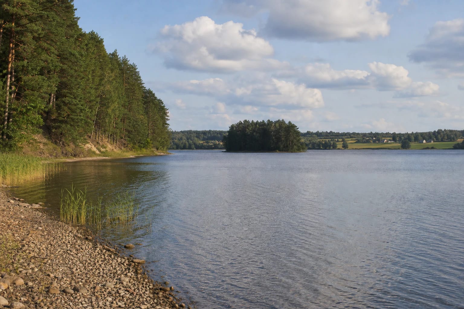
- Place
- Trakai Eldership, Trakai District Municipality
- Region
- Trakai Historical National Park
- Type
- a glacial lake in Trakai Historical National Park
- Address
- Lake Akmena surroundings, about 3 km northwest of Trakai, Trakai District
- Coordinates
- 54.66400, 24.88500
- Visit duration
- about 1-3 hours; longer if combined with a Trakai Historical National Park route
- Best time
- late spring, summer, or early autumn; calm light best reveals the wooded shores and island
Akmenos Lake, Ežeras Akmena
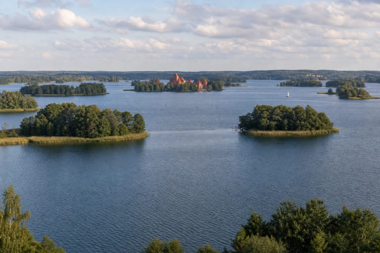
Akmena is a large lake northwest of Trakai
Akmena lies in Trakai District, about 3 kilometres northwest of Trakai, by the road towards Vievis. The Universal Lithuanian Encyclopaedia gives the lake a west-to-east length of 3.2 kilometres, a maximum width of 1.2 kilometres, and an area of 276 hectares.
This is not the Akmena River in Samogitia and not merely the approach to Akmena village. This page is about the Trakai lake, which maps may also call Akmenos Lake. The distinction matters because other places called Akmena lie in different Lithuanian regions.
Saugoma.lt places the Akmena Lake Hydrographic Reserve point at 54.664, 24.885. This is a landmark for a waterbody and protected area, not a promise of a beach, car park, or single road to the water.
A glacial lake with a deep, winding shape
Akmena is a glacially formed lake. The Encyclopaedia gives its surface elevation as 149.1 metres, maximum depth as 30.2 metres, and average depth as 11.2 metres. Its shoreline is winding and about 11.4 kilometres long.
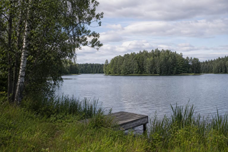
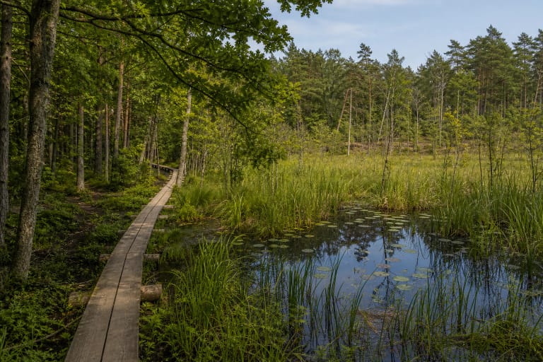
The northern and southeastern shores are high, steep, and pine-covered. Elsewhere the view opens out: gravel, pebbles, and sparse bands of reeds and sedges line the water, while forests, fields, and rural homes continue beyond the shore.
The lake has an island of about 1.5 hectares. It helps convey the scale of the water from shore, but it is not automatically a visitor facility: do not attempt to reach it without assessing conditions, disturb no shoreline, and respect the protected lake setting.
The lake's water exchange also happens underground
A channelised stream enters in the western part of the lake, while Akmena has no visible surface outflow. The Encyclopaedia, citing hydrologists, describes underground movement towards the upper Bražuolė, at an estimated rate of about 14,580 cubic metres per day.
The same description says that the lake's water renews in roughly six years. This helps explain why a large lake's condition depends on its whole catchment, shores, rainfall, and groundwater connection rather than on one bathing place alone.
Until 1870, Akmena was connected to Lake Galvė by a strait. The Trakai lake district remains connected as a landscape and historical system, but the former connection is not a reason to treat Akmena as a bay of Galvė or as one waterbody.
The lake belongs to Trakai's protected waters
Akmena lies in Trakai Historical National Park. Saugoma.lt separately identifies the Akmena Lake Hydrographic Reserve, covering 374 hectares and established to protect the lakes that shape the character of Trakai and its surroundings. The reserve area is not the same as the lake area given by the Encyclopaedia.
Hydrographic protection concerns the whole lake structure: shoreline, island, water levels, inflow connections, and shore habitats. Do not widen access tracks, cut through overgrown banks, or leave waste where it can wash into the water.
The State Service for Protected Areas describes Trakai National Park as a territory where history, culture, and natural values meet, with lakes forming a major part of its landscape. Visit Akmena as part of Trakai's lake system rather than viewing it apart from the protected shores around it.
Plan a water visit around the actual conditions
The Encyclopaedia records a beach on Akmena's eastern shore, but that entry does not establish a current supervised-bathing designation, lifeguard hours, or the day's water-quality result. Check information posted at the shore before swimming and keep children away from deep or uneven banks.
In its table updated on 30 June 2026, the Environmental Protection Department says that during the boating season, non-motorised craft and craft with electric motors are permitted on Akmena, while internal-combustion motor categories are prohibited. Check the latest official rules before launching.
Akmena is a large waterbody, so wind, waves, distance from shore, depth, and water temperature can change the risk quickly. Do not walk onto unverified ice, paddle alone, or attempt to reach the island or another shore merely for a photograph.