- Place
- Mikieriai and Inkūnai, Anykščiai District Municipality
- Region
- Aukštaitija
- Type
- pedestrian suspension bridge with a timber deck over the Šventoji River
- Address
- Mikieriai / Inkūnai, Anykščiai District
- Coordinates
- 55.65827, 25.17896
- Visit duration
- 20-40 minutes for the bridge and both approaches; 1-2 hours when combined with Mikieriai Outcrop
- Best time
- in daylight during dry, calm weather, when the timber deck is free of ice
Inkūnai-Mikieriai Suspension Bridge, Mikieriai Monkey Bridge, Inkūnai Suspension Bridge
An 80-metre crossing between Mikieriai and Inkūnai
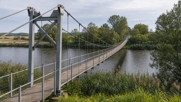
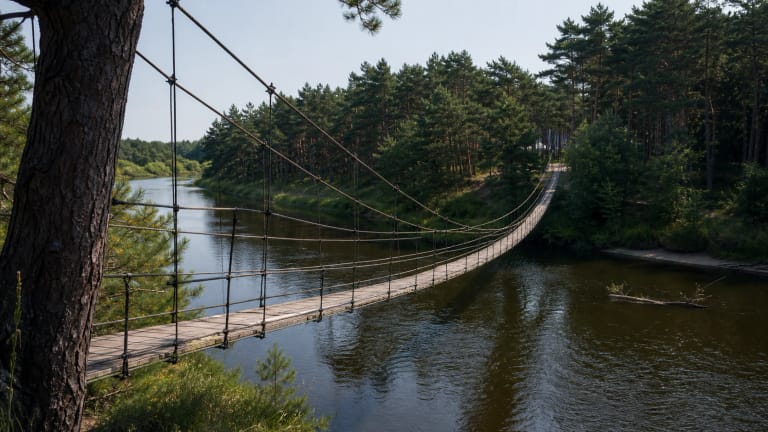
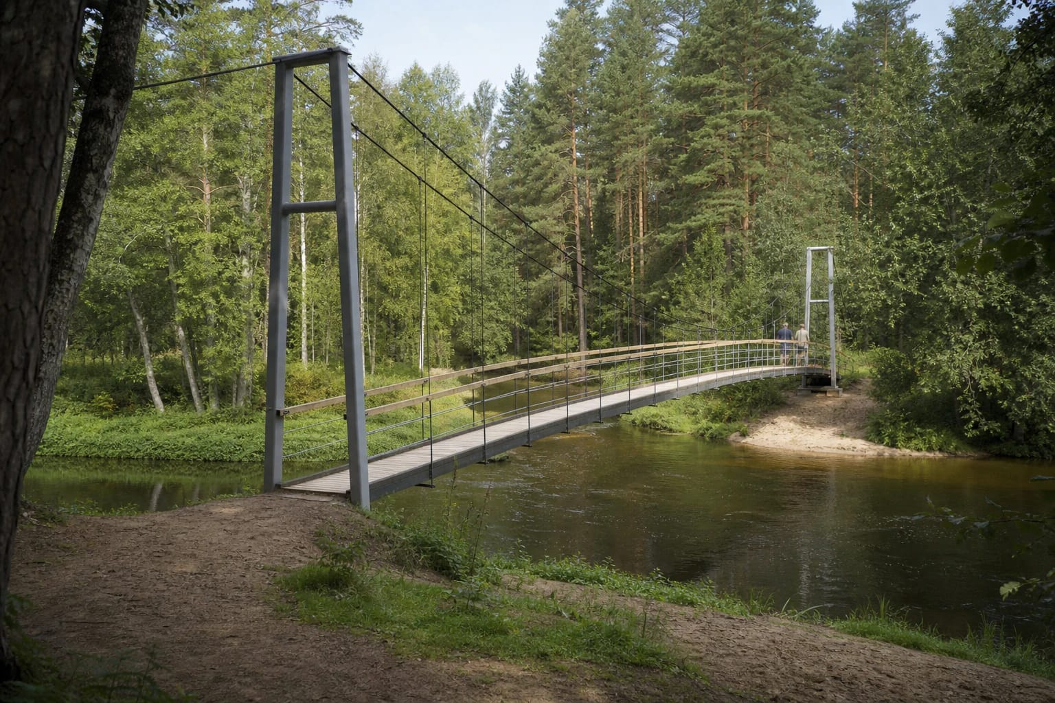
Mikieriai Suspension Bridge crosses the Šventoji between Mikieriai on the right bank and Inkūnai on the left. Anykščiai District Municipality gives a length of 80 metres and a width of 1.2 metres. It is a narrow pedestrian crossing, not a road bridge or a high-ropes attraction.
Steel cables and two eight-metre-high portal frames made from tubular steel support the structure. Transverse timber boards form the deck, with rails along each side. The span naturally moves a little under footsteps, which explains the local Monkey Bridge nickname but does not invite visitors to make it sway deliberately.
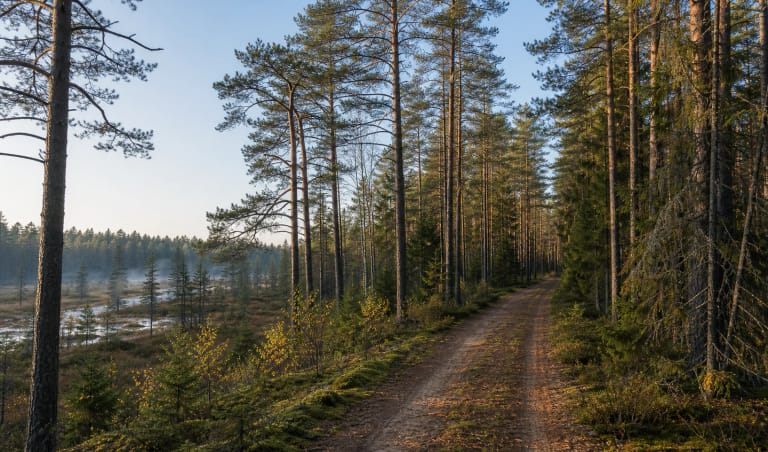
From the deck, visitors see the Šventoji channel and dense mixed forest on both banks. The crossing is most rewarding not as an isolated engineering exhibit but as a long, narrow line through a quiet river corridor almost enclosed by woodland.
The bridge shortened a real journey across the river
The Šventoji long separated Inkūnai from Mikieriai and other villages on the right bank. The local history board recounts that people used a ford, boats, and rafts in summer and crossed the frozen river in winter. The route mattered for reaching the shop and bus in Mikieriai, or the church, cemetery, and relatives on the Inkūnai side.
The same board dates the first cable-hung timber footbridge here to 1973, built by local residents with help from Mikieriai forestry district. Once the old structure had deteriorated, the municipality funded the present metal bridge in 2002.
That history makes this a living community link rather than only a visitor attraction. Travellers share the narrow deck with people who may use it as part of a practical local route, so let others pass and do not block the crossing for prolonged photography.
The 2018 repair and deck work scheduled for 2026
Anykščiai District Municipality reports that work in September 2018 replaced all timber and part of the metal structure. Its official post-repair photograph shows a fresh pale plank deck, timber handrails, horizontal metal railing wires, and steel suspension elements.
The municipality's 2018 article still called Mikieriai Lithuania's longest bridge of its type. Klaipėda District Municipality, however, records that the 130-metre Lankupiai Suspension Bridge entered Lithuania's record list as the longest in 2017. Mikieriai's verified 80-metre span remains notable, but it should not be described as the current national record holder.
Andrioniškis ward's 2026 activity plan schedules replacement of 20 timber deck boards in the second and third quarters. By 29 July 2026, no official completion or closure notice could be found. That establishes neither an open nor a closed status, so barriers, warnings, and the visible state of the deck, rails, and cables take priority before every crossing.
At the edge of Šventoji Reserve and Šimonys Forest
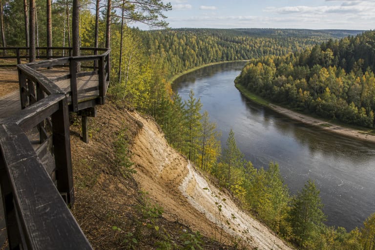
VLE includes the bridge and the nearby Mikieriai Outcrop viewpoint among the visitor attractions of Šventoji Landscape Reserve. Established in 1974, the reserve protects the expressive river valley, its bends, and outcrops. Forest covers much of the setting, which also lies within Šimonys Forest Biosphere Polygon.
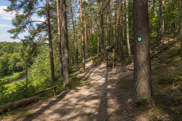
A short visit therefore combines naturally with Mikieriai Outcrop, but do not invent a shortcut along the scarp or across private land between the two points. Use established roads, signs, and lawful paths. Riverbanks can be slippery after rain, while sandy slopes are vulnerable to erosion.
The Šventoji is also a paddling route, and the bridge is a clear landmark for paddlers. Do not hold onto the structure from a boat, stop directly below it, or use it as a diving platform. Water depth and submerged hazards change, while the bridge's purpose is pedestrian access.
Finding and crossing Mikieriai Bridge safely
The exact Google Maps listing marks the bridge at 55.6582681, 25.1789599, while the official Anykščiai District guide gives a nearby Mikieriai-side approach point at 55.658772, 25.178967. The municipal road register identifies the 612-metre asphalt access road a34 from road 1216, but no verified parking capacity was found. Leave vehicles only where signs permit and keep forestry routes and residential entrances clear.
Official descriptions do not list admission or fixed opening hours. This is an outdoor pedestrian link, but the deck-board replacement scheduled for 2026, storms, ice, fallen trees, or another temporary restriction can change access. Never bypass a barrier, and check recent municipal notices before making a long journey specifically for the bridge.
Walk calmly, hold the rail, do not run, jump, or gather in one spot, and walk a bicycle rather than ride it. Keep young children beside an adult. With a width of 1.2 metres, a moving deck, and unverified bank approaches, do not plan an independent wheelchair crossing without up-to-date accessibility confirmation.