- Place
- Lazdijai District Municipality
- Region
- Dzūkija
- Type
- lake in Veisiejai Regional Park with an urban shore and walking routes
- Address
- Lake Ančia, Veisiejai, Lazdijai District
- Coordinates
- 54.08022, 23.69495
- Visit duration
- 2-4 hours for one shore or trail; a full day with Veisiejai, a recreation site, and a regional-park route
- Best time
- late spring, summer, or early autumn; choose a dry day for the trail and a calm, safe day for water activities
Ančia, Lake Ančia in Veisiejai, Ančia Lake, Ančia near Veisiejai
This is the whole lake, not one beach
Lake Ančia lies in Lazdijai District's Veisiejai Regional Park, with the town of Veisiejai on its northern section. It is not one developed beach or only a town panorama: the lake extends through different bays, forests, villages, and recreation shores.
VLE gives 54.080219, 23.694948 as a representative coordinate for the whole lake. It helps with orientation at Ančia but does not mark Zamenhof Beach, the Galė recreation site, or one exclusive legal entry to the water.
Lake Ančia should not be confused with the Baltoji Ančia river or with the separate Ančios reservoir beach in other parts of Lithuania. This guide concerns the natural lake near Veisiejai inside Veisiejai Regional Park.
Three sections and a difference between published areas
The Encyclopaedia of Lithuania describes Ančia as an irregular lake made of three sections: a curved northern part, a wider middle part with large western bays, and a long, narrow, winding southern part that resembles a river. On a map, it is therefore a connected set of glacial troughs rather than a single oval sheet of water.
VLE gives an area of 504 hectares, a length of 9.4 kilometres, a maximum width of 1.2 kilometres, a maximum depth of 26 metres, and an average depth of 9.3 metres. The regional-park profile gives an area of 490.8 hectares, so the sources should not be forced into one artificial figure. Both agree on the lake's scale and importance to the park.
The shoreline is very winding and is given by VLE as 33 kilometres. Shores are mostly steep, while the narrow littoral is sandy or gravelly and sometimes overgrown with aquatic plants. This explains why a convenient beach or pier is a specific facility, not a property of every part of the lake.
Ančia is a central landscape of Veisiejai Regional Park
Veisiejai Regional Park was established in 1992 to protect the Šlavantai-Veisiejai-Kapčiamiestis lake district, its intersecting glacial troughs, natural ecosystems, and cultural heritage. The State Service for Protected Areas lists 37 lakes in the park, with Ančia among the largest and deepest.
Lake Ančia belongs to the Baltoji Ančia basin: the Šlavantėlė and Vernijis stream flow into it, while the Baltoji Ančia flows out. These connections matter beyond geography. They show that the shore is part of a larger water system, so pollution, noise, and careless use can affect more than one beach.
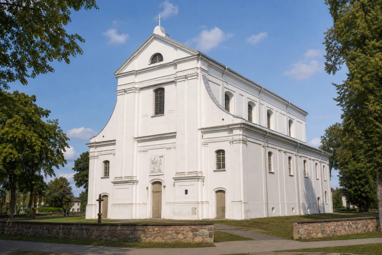
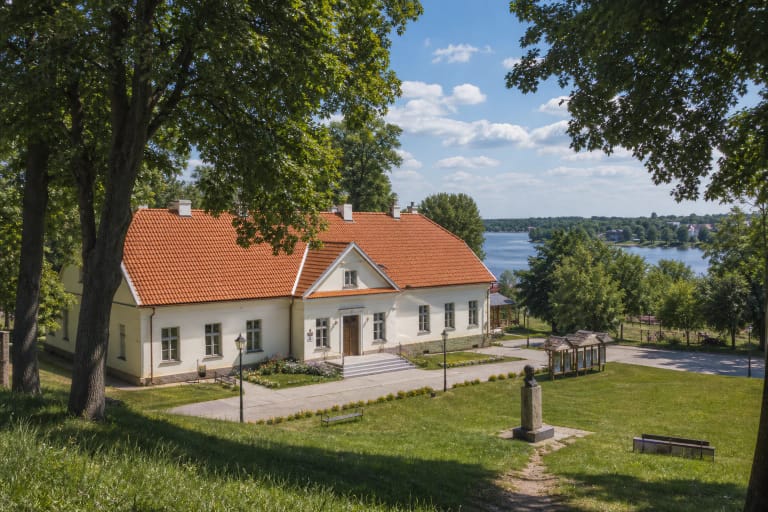
Vainežeris Hillfort stands on the western shore, while the Veisiejai side of the lake meets the town's historic urban setting. Pine forests, manor parks, the church, and the water are not separate decorations; they are joined by glacial relief and a long culture of life between lakes.
Where to stop beside Ančia
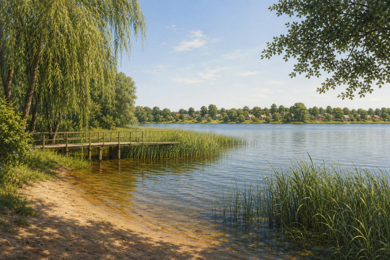
The Dzūkija-Suvalkija Protected-Areas Directorate lists Zamenhof Beach on the Ančia shore in Veisiejai. Its published recreation list mentions a small pier, benches, and a fire site. On 16 July 2026, Lazdijai District Municipality reported that the old Veisiejai beach at the end of Zamenhofo Street was being renewed: sand had been added, benches, loungers, swings, and other facilities installed, while new piers and a shelter were still expected.
The same directorate list identifies the Galė recreation site on Lake Ančia, about 0.5 kilometres from Veisiejai. It describes a sandy beach, car space, pier, changing cabin, outdoor classroom, volleyball court, and toilet. This is the description of one recreation site and should not be transferred to the full 33-kilometre shore.
Choose one clear access point, follow local signs, and do not park on grass or a private shoreline. If you plan a fire or overnight stay, use a place designated for that purpose; a pier is not automatic permission to dive, launch a boat, or block access for other visitors.
The Ančia shore works as a circular walk
VLE gives the Ančia lakeshore walking trail a length of 3.8 kilometres and describes it as circular. Saugoma presents it as a route beside one of the most beautiful and largest lakes in Veisiejai Regional Park, while the directorate organised a family hike on the route on 25 July 2026. This shows that it is a current park activity, not only an archival route name.
The trail's value is its changing shore: sandy pine woods, reeds, bays, and the proximity of Veisiejai. Do not assume a uniform hard-surfaced path without wet, sandy, or root-affected sections. After rain, footwear and pushchair access may be very different.
With children, plan not only the kilometres but also the stops near water, keeping well back from the edge. Do not cross private yards, enter protected vegetation, or leave rubbish beside piers and fire sites. The regional park is best experienced when the shore remains healthy after you leave.
Visiting and swimming safely
Ančia suits a mix of waterside rest, walking, and a Veisiejai heritage route. Allow two to four hours for one shore or trail; if you add the church, manor, Visitor Centre, and a recreation site, plan a full day.
Before bathing, assess the specific access, weather, waves, bottom, and local notices. Do not jump from an unfamiliar pier, keep children within reach, and use suitable flotation equipment when swimming farther from shore. If the water is blooming, smells unusual, or looks changed after heavy rain, postpone the swim.