- Place
- Vilnius City Municipality
- Region
- Vilnius
- Type
- steel-arch road bridge, pedestrian crossing, and Neris viewpoint
- Address
- From the T. Vrublevskio, Arsenalo, and Žygimantų street junction to the Rinktinės and Žvejų street junction, Vilnius
- Coordinates
- 54.68904, 25.28824
- Visit duration
- 15-30 minutes for the bridge; 1.5-3 hours with Gediminas Hill, Cathedral Square, and the Neris embankment
- Best time
- a dry early morning or evening, when traffic is lighter and the steel arches stand out clearly against Gediminas Hill
Karaliaus Mindaugo tiltas, Mindaugas Bridge
Two riverbanks and what you are actually visiting
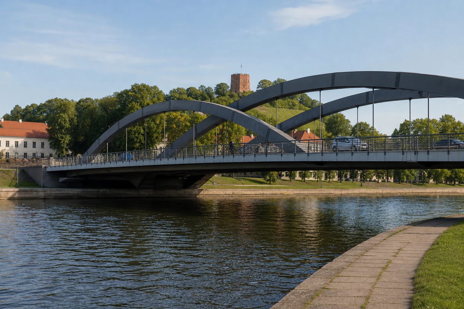
King Mindaugas Bridge crosses the Neris immediately beside the Vilnius castle territory. On the south bank it meets the junction of T. Vrublevskio, Arsenalo, and Žygimantų streets; on the north bank it reaches the Žvejų and Rinktinės street side. The coordinates 54.6890376, 25.2882368 identify the exact Google Maps attraction listing near the middle of the bridge, not the monument to King Mindaugas beside the New Arsenal.
Technical project descriptions give a length of 101 metres and an overall width of approximately 19.7-19.75 metres. The carriageway has three traffic lanes, while pedestrians use pavements along the outer sides. You can therefore cross the river and pause for a view, but cars, noise, and exhaust are part of the real setting.
Do not confuse it with Green Bridge farther west or White Bridge, the pedestrian and cycle crossing still farther downstream. King Mindaugas Bridge is first and foremost part of the city's street network. Its value as a sight comes from the steel arches, the unusually close historic landscape, and the ability to move between the Old Town and the right bank in one short crossing.
Arches designed not to block the historic skyline
A team formed by Kelprojektas engineers and architect Vladas Treinys won the bridge competition held in 2001. VLE lists D. Žickis, G. Bajoras, and A. Čibirka as co-designers; professional accounts identify them in full as engineers Darius Žickis, Gintaras Bajoras, and Arvydas Čibirka. The new structure needed a distinct identity without overwhelming one of Vilnius's most sensitive panoramas.
The setting drove the solution. Vilnius Cathedral and the Upper and Lower Castle complex occupy the south bank, while the valley is shaped from different directions by the Hill of Three Crosses, the old arsenals, and the historic-centre skyline. The designers therefore selected two low, geometrically simple steel arches that rise above the deck without creating a tall visual barrier.
The arches are structural, not a decorative crown. Broad grey steel ribs, vertical hangers, and the horizontal deck form a restrained composition that changes as you walk: viewed along the bridge, the arches overlap; seen from the embankment, they separate into two parallel curves. Evening light picks out the steel edges, but there is no permanent sculpture or royal emblem attached to the arches themselves.
From a bank-assembled structure to 6 July 2003
The Lithuanian Central State Archives photographic sequence records the start of construction on 19 March 2002 and shows the bridge still being built in February 2003. Given the short deadline and sensitive site, the principal steel structure was assembled on the riverbank, then pivoted on pontoons and floated into its final position over the Neris. This allowed much of the work to take place away from the river channel.
The bridge was completed and opened on 6 July 2003. The archive entry states the occasion explicitly: the 750th anniversary of the coronation of King Mindaugas. The same anniversary programme included the monument to Mindaugas beside the National Museum of Lithuania, so both landmarks carry the date 2003 but have different authors and functions.
The name does not suggest that a bridge from Mindaugas's lifetime stood here. This is an early twenty-first-century infrastructure project deliberately named for a statehood anniversary. VLE places it among the important Lithuanian bridges built after the restoration of independence and describes it precisely as a steel-arch bridge over the Neris dating from 2003.
What you can see and which nearby landmarks are separate
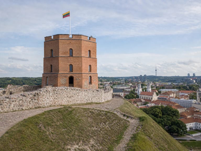
Gediminas Castle Tower is the clearest landmark to the southeast. From the pavement and embankments it rises above one or both steel arches, with the Upper Castle slope and roofs of the National Museum arsenals below. The riverside is a better place to fit the whole bridge and tower into one photograph, because the arches dominate the view from the deck itself.
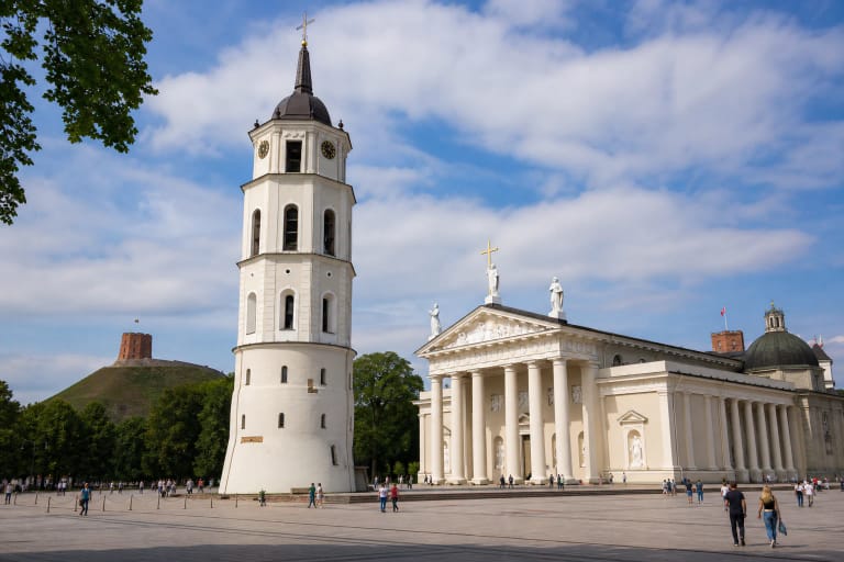
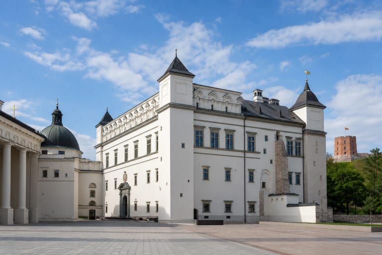
A separate 2003 monument to King Mindaugas stands beside the New Arsenal on the south bank. It is not part of the bridge structure and was not created by the bridge design team. The Old and New Arsenals, Cathedral Square, and the Palace of the Grand Dukes are also independent attractions; check each institution's official website for current opening hours and tickets.
Looking west along the Neris reveals the central embankments and later crossings, while newer buildings on the north bank change the scale of the historic centre. Morning light often favours Gediminas Hill; evening light suits the steel outline and river reflections. Fog, foliage, and high water can alter the view substantially, so a single photograph does not replace walking both pavements.
Free access, road traffic, and practical conditions in 2026
The bridge is public street infrastructure with no gate or admission charge. On 21 July 2026, its exact Google Maps listing marked it as open 24 hours, although a collision, city event, repair, snow, or ice may temporarily alter traffic and pedestrian routes. Allow 15-30 minutes for the bridge alone, or at least 1.5 hours when adding the castle territory and riverside.
This was not designed as a dedicated pedestrian and cycle bridge. Pedestrians use the outer pavements, while cyclists and scooter users must follow current signs and Lithuanian road rules, protect slower users, and not assume that a pavement is a guaranteed segregated cycle lane. The approaches feed directly into urban junctions, so watch the traffic signals when crossing access roads.
The approaches rise gently from street level to the deck, and the Google listing identified a wheelchair-accessible entrance in 2026. Kerbs, temporary works, winter surfaces, and the chosen embankment route can still change real-world ease of use, so visitors with mobility requirements should confirm the route on the day. The same listing showed 4.7 out of 5 from 4,336 reviews on 21 July 2026; both figures will change.