- Place
- Nida, Neringa Municipality
- Region
- Neringa
- Type
- a state-protected geomorphological dune and natural monument
- Address
- Urbo Hill, Nida, Neringa Municipality
- Coordinates
- 55.30493, 20.99561
- Visit duration
- 45-90 minutes; longer if you visit Nida Lighthouse or combine the stop with other Nida routes
- Best time
- a clear morning or evening, when the lighthouse and coastal horizon stand out among the pines; wear grippy shoes after rain
Urbo Hill Dune, Urbas Hill
Urbo Hill in Nida: a specific dune-and-lighthouse stop
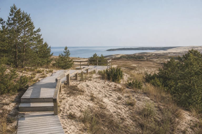
Urbo Hill is in Nida on the Great Dune Ridge of the Curonian Spit, not at Parnidis Dune. This page is about the wooded dune and its summit surroundings, where Nida Lighthouse stands. Parnidis Dune is a separate site with different relief, access, and visitor experience.
Urbo Hill is a sensitive planted dune, so stay on existing paths and do not damage vegetation in search of a shortcut. Its conservation condition depends on visitor behaviour, wind, and maintenance, not on how many open views are visible from each slope.
The card's point at 55.3049337, 20.9956145 marks the attraction itself, not a guaranteed car park or the only entrance. In Nida, follow local directions towards the lighthouse and separately check where parking is lawful that day.
A 51.4-metre dune protected as a geomorphological natural monument
VLE describes Urbo Hill as a 51.4-metre dune in Curonian Spit National Park. The National Park Directorate gives the natural-heritage object an area of 56.28 hectares and the Urbo Hill geomorphological reserve an area of 52.555 hectares. These areas cover more than the path beside the lighthouse: they protect the dune and its surroundings.
Urbo Hill belongs to the Great Dune Ridge's aeolian landform. The Directorate explains that sand accumulated and was reworked here as the Curonian Spit took shape, roughly 5,000 years ago. Fine wind-blown sand reaches about 65 metres below the hill, while groundwater lies 30 metres or more below the dune summit.
The protected subject is not only a convenient path and lighthouse silhouette. Every visitor helps preserve the dune cover by staying on established paths and avoiding shortcuts across slopes and forest ground.
Planting changed the dune and helped protect Nida
In the nineteenth century Urbo Hill was a more open and mobile mass of sand. VLE dates its planting to 1870-1874 with mountain pines. The National Park Directorate presents this as one of the Curonian Spit's early dune-planting experiments, which helped stop aeolian sand movement and protect Nida from drifting dunes.
Urbo Hill is therefore not only a story of wild nature. The forest shows how forestry and landform protection changed the dune: pines created shelter, plant material accumulated, and the sand became more stable. Later work from 1880 to 1910 built on the successful Urbo Hill example and extended dune stabilisation.
While walking, notice the contrast between Urbo Hill and the Spit's more open dunes. Its quiet woodland is not an accidental landscape, but the result of more than a century of planting and protection.
Nida Lighthouse has two historical lives on Urbo Hill
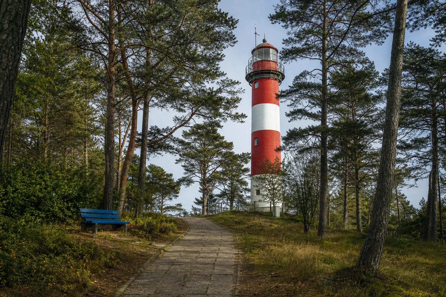
The first Nida Lighthouse was built on Urbo Hill in 1874 as a 27-metre masonry tower. It operated until the end of the Second World War and was blown up by retreating German forces in 1944. Saugoma.lt notes that the stone steps leading to the first structure remain.
A reinforced-concrete lighthouse was built after the war, and VLE records a 1953 reconstruction to a height of 29.3 metres. Its signal can be seen from the sea at roughly 40 kilometres. The tower on the summit is therefore not the nineteenth-century original, but the site retains the same navigational role and historic connection with it.
Nida Lighthouse is a separate visitor attraction with a seasonal museum regime. Outdoor access to Urbo Hill is not the same as entry into the lighthouse: check LIMIS or the Neringa Museums information for current hours and ticket details before travelling.
How to visit Urbo Hill safely and respectfully
Allow 45-90 minutes for Urbo Hill if you want to walk to the lighthouse, see the stone steps, read the local history, and photograph the pine setting. For a longer day, combine it with Parnidis Dune, the Parnidis Dune Nature Trail, or the Curonian Spit National Park Visitor Centre.
The route can include stone paving, steps, roots, and natural woodland surfaces. Stones, moss, and slopes may be slippery after rain, so wear shoes with reliable grip. The coordinate marks the attraction but does not confirm a continuous step-free route or adapted vehicle access to the lighthouse.
Urbo Hill is protected dune terrain. Do not drive onto the forest floor, park beside roots, break branches, or leave litter. Take extra care under trees in strong wind, and follow on-site signs and current park information for temporary trail, lighthouse, or parking restrictions.