- Place
- Lentvaris Eldership, Trakai District Municipality
- Region
- Neris Regional Park
- Type
- a natural stream-cascade and waterfall site in Vilsos Valley
- Address
- Forest area of Žemieji Semeniukai village, Lentvaris Eldership, Trakai District
- Coordinates
- 54.71894, 25.01208
- Visit duration
- about 1-2 hours; up to 4 hours if combined with a longer walk in the Vilsos Valley area
- Best time
- spring and wetter periods, when the cascades carry more water; autumn opens the valley through thinner foliage
Vilsos Waterfalls, Vilsos Stream Waterfall, Vilsos Cascades
This is a living sequence of Vilsos valley steps, not one waterfall
The Vilsos Stream Waterfalls lie in the forest area of Žemieji Semeniukai within Neris Regional Park. The point 54.7189375, 25.0120781 on this page marks the natural cascades themselves, not the approach. A separately marked parking point at 54.7200059, 25.0094160 lies west of the valley, so leave the car before descending towards the water.
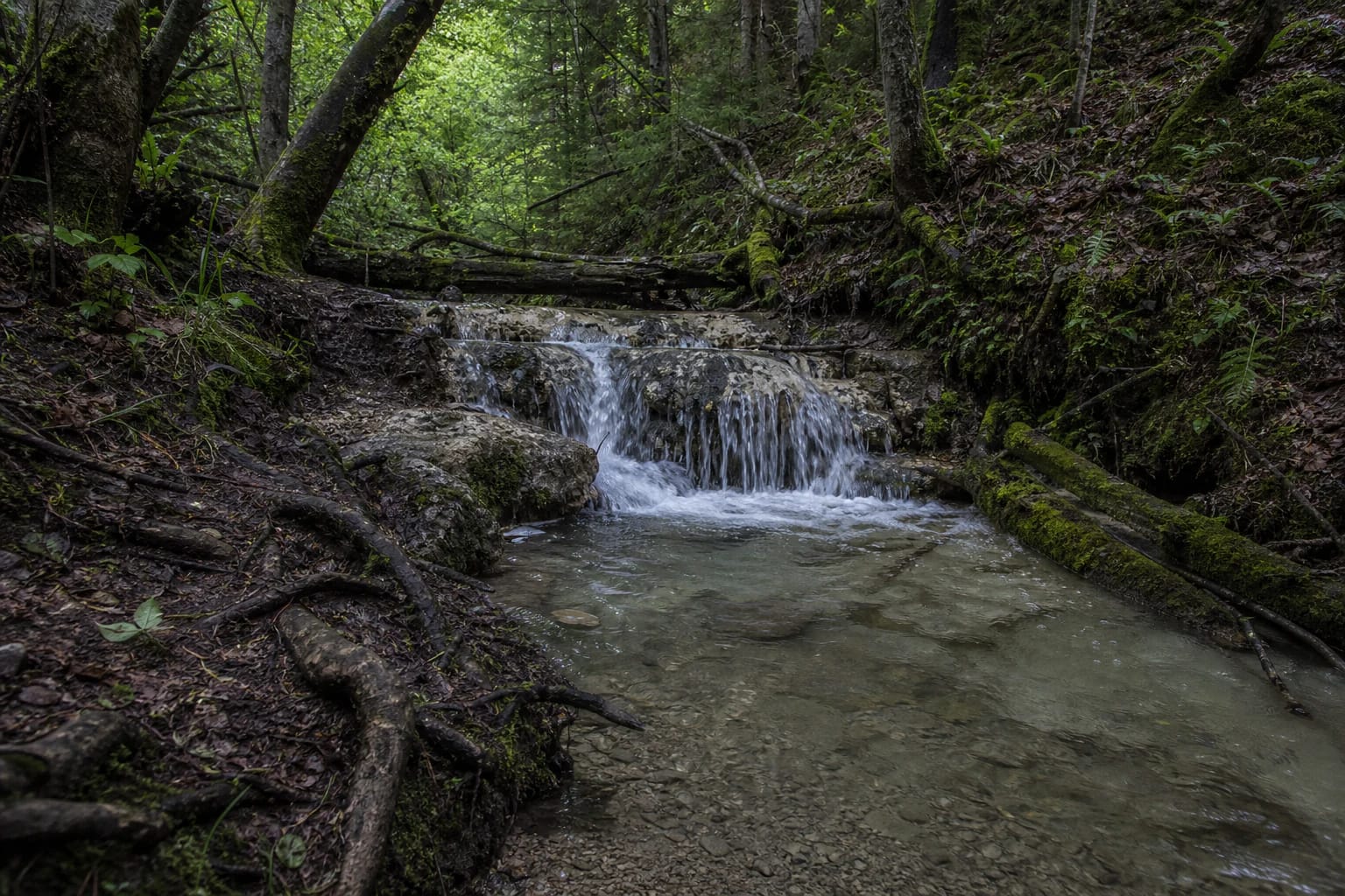
At the site, several natural cascades follow one another. Water drops over small steps, gathers in shallow hollows, and divides again around roots and stones. The highest step is more than 1.5 m high, but heavy rain can create new minor flows while dry weather can make some of them nearly disappear.
The Trakai District Municipality list of visitor sites records the place as Vilsos Stream Waterfalls in the forest area of Žemieji Semeniukai village. That is a useful official name and setting reference, but it is not a detailed trail plan or a promise of visitor infrastructure.
Water flows across carbonate sand and calcareous tufa
A VDU study describes the Vilsa as a left-bank tributary of the Neris flowing through the Rykantai, Aukštieji Semeniukai, and Žemieji Semeniukai area. It gives the stream a length of about 2.69 km and places the waterfalls in its narrow, deep lower valley. This scale matters: the visit is to a short, fast woodland tributary, not a large mountain river.
The same study notes carbonate sand and calcareous tufa in the valley deposits. Water erodes and carries this material, so the edges of the steps are not permanent. Pale eroded ledges, mossy sides, leaves, and roots create a different view as seasons and flow levels change.
After rain, the waterfalls become louder and more defined, but approaches are also more slippery. On a drier day, the channel structure and tufa surfaces are easier to examine, although some cascades may be no more than thin trickles.
The deep wooded valley still feels genuinely wild
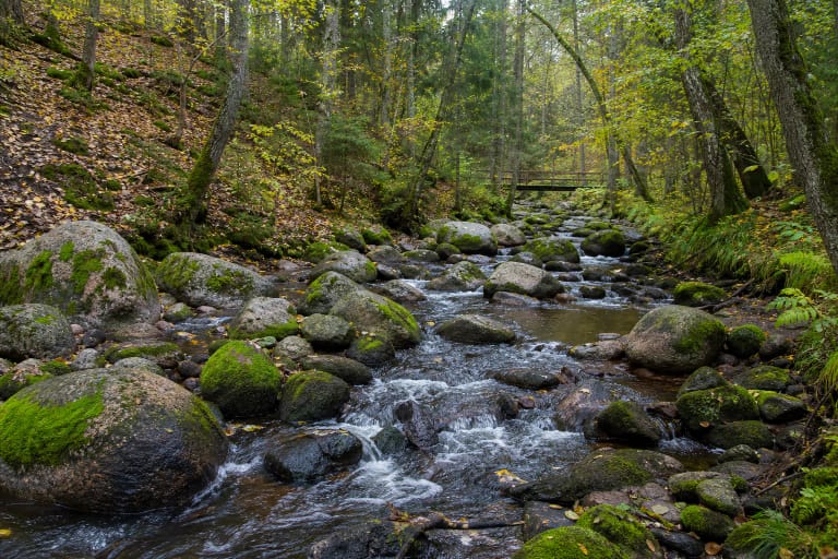
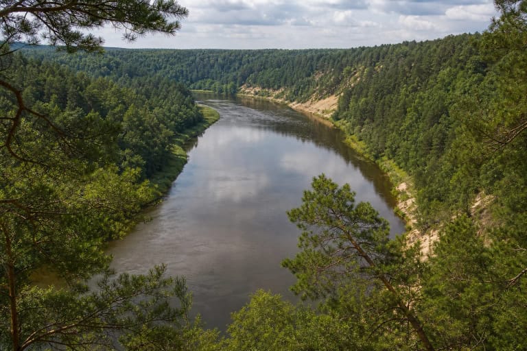
Neris Regional Park descriptions place the Vilsa among the small Neris tributaries whose valleys form part of the protected landscape. The attraction is not a built viewing platform but the enclosed valley, steeper banks, damp ground, and sound of water between the trees.
Official park walking descriptions mention old spruce stands, oaks, and a forest with an old-growth character around the Vilsa. By the water, look for moss, fallen trunks, exposed roots on the bank, and carbonate deposits together. Observe the cascades from a safe distance instead of rearranging their natural steps for a photograph.
The woodland valley is more sensitive than a brief map description may suggest. Do not widen access paths, climb fragile tufa ledges, disturb moss, or leave food and other waste beside the water.
There is no constructed boardwalk to the waterfalls
Continue on foot from the separately marked parking point along the woodland approach. A Neris Regional Park route reaches the waterfalls as part of a roughly 12 km orienteering walk lasting about four hours. The park states clearly that this route is not waymarked, so it requires a map, compass, or GPS and is not a simple family trail.
Expect woodland ground, roots, leaves, sand, and damp valley edges. The sources do not describe stairs, handrails, a boardwalk, or step-free surfacing. After rain or spring thaw, some approaches may become difficult, so sturdy shoes with good grip are essential.
The cascade coordinates are not a car park. Distinguish the waterfall and parking pins in navigation, do not block the forest road or drive over soft ground, and follow signs on the day. If the approach looks washed out or unsafe, enjoy the valley from a secure point instead of forcing a descent.
How to see the Vilsos waterfalls safely
Plan for daylight and allow at least one or two hours, since you must walk to the cascades and the flow is best viewed from several safe points. If you combine the site with the Neris Regional Park orienteering route, the full outing needs much more time and navigation preparation.
Do not enter the water, climb wet tufa steps, jump across the stream, or carry children onto slippery edges. Banks, roots, and eroded ledges can be unstable, and water levels may change quickly after rain.
No separate admission ticket or daily opening hours are publicly stated. That does not remove the need to follow protected-area rules: visit on foot, stay on existing paths, take all waste away, and avoid disturbing wildlife and plants.