- Place
- Stirniai, Lentvaris Eldership, Trakai District Municipality
- Region
- Trakai District
- Type
- 1 km walking trail in the Saidė Hydrological Reserve
- Address
- Unnamed Rd, Stirniai, LT-21401
- Coordinates
- 54.71988, 25.04301
- Visit duration
- about 1 hour; 1-1.5 hours for an unhurried look at the confluence and hillfort
- Best time
- a dry spring or autumn half-day; timber, roots, and stones can be slippery after heavy rain
Saidė Trail, Saidė walking trail, Saidė and Neris confluence trail
One kilometre contains a stream valley, a hillfort, and a river confluence
Official protected-area and Neris Regional Park descriptions give a distance of about 1 km and a walking time of roughly one hour. The route is short, but its sights lie in different directions: Stirniai Hillfort rises on one side, while the lower Saidė and its confluence with the Neris lie on the other. Stops at interpretation panels, the spring, and the boulders make a full hour more realistic than a rushed thirty minutes.
The Google Maps coordinates 54.7198788, 25.0430138 mark the roadside trailhead and information area, not the confluence or the summit. Navigation therefore takes you to the start; the principal sights still require a walk, followed by a return to the same point.
Detailed visitor accounts describe the hillfort section as a small loop and the confluence direction as an out-and-back spur. Follow the map and signs present on the day, because woodland routing and barriers may be renewed.
The Saidė is only 5 km long but resembles a small upland stream
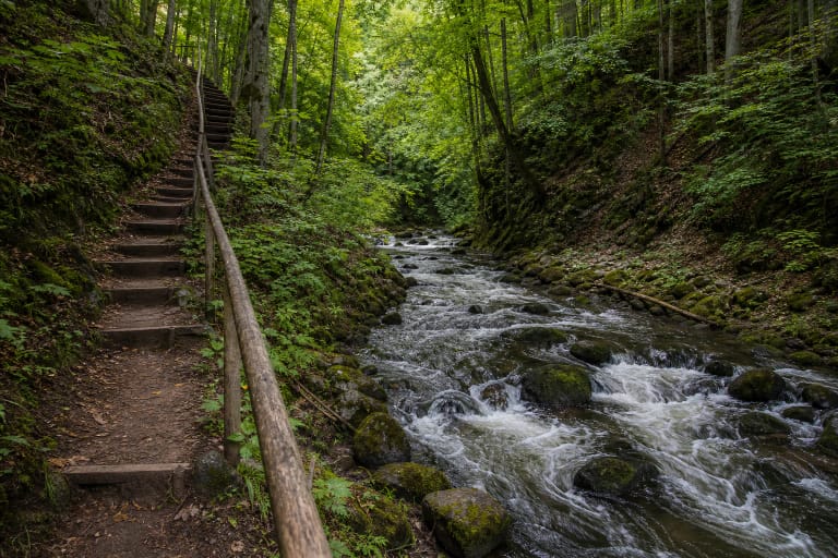
The Saidė flows from Lake Didžiulis and carries surplus water from the Trakai lake system into the Neris. The Lithuanian Geological Survey gives an average gradient of 5.7 metres per kilometre and a discharge of 0.98 cubic metres per second at its mouth. In the steep, wooded lower valley, the current threads around glacial boulders, creating white ripples and an unusually rocky scene for Lithuania.
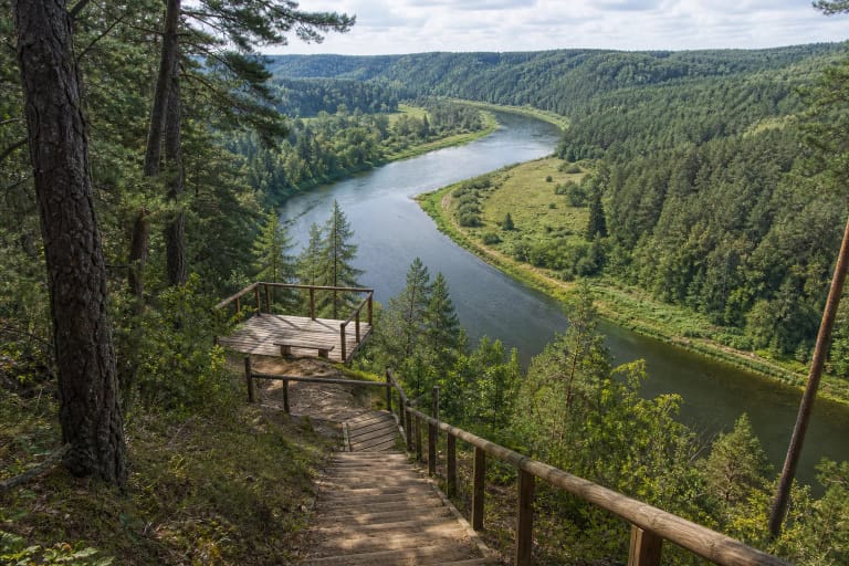
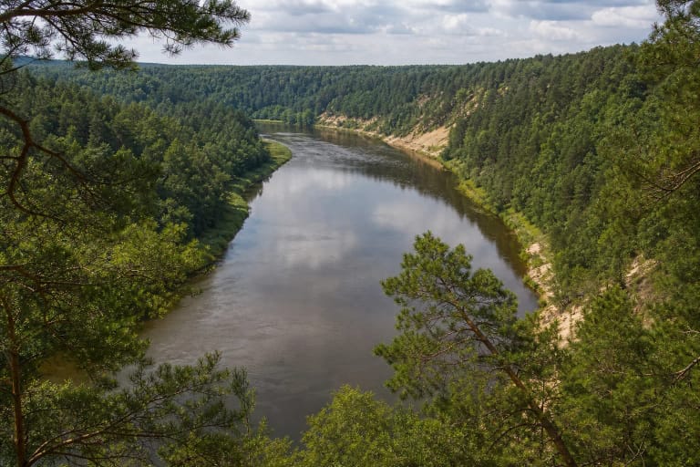
The trail's strongest view is the confluence of the Saidė and Neris. Look beyond the meeting line itself to the contrast in scale: a narrow, noisy stream emerges from an enclosed valley and enters the broad Neris. Mossy rocks and tall trees create the landscape that official descriptions compare with Scandinavia.
Water level and visual impact change through the year. Rain makes the Saidė livelier, but it also makes stones, roots, and bank approaches more slippery. During dry periods the current is quieter, while the structure of the boulder-filled channel becomes easier to read.
Saidė Spring and Stirniai Hillfort add geology and archaeology
The Lithuanian Geological Survey places Saidė Spring on the stream's left bank, about 300 metres from the Neris confluence and across the water from Stirniai Hillfort. It emerges at the foot of the steep-sided valley, then drains through a short channel into the Saidė. Measurements made in 2014 described a low-discharge spring with a continuous flow.
Those historical hydrochemical measurements are not a current drinking-water safety test. Even if a pipe or collecting point remains, the water should not be treated as safe to drink solely on the basis of 2014 data, because the surroundings and microbiological conditions may have changed.
Stirniai Hillfort rises in the other section of the trail. The official park account says naturalist Professor Ričardas Kazlauskas recognised it in 1995, while surviving defences suggest occupation roughly 1,500 years ago. Local stories of a castle must be distinguished from archaeological conclusions: the site has not been comprehensively excavated.
This is an earth-and-stair trail, not a level boardwalk
Most of the route follows woodland soil, leaves, roots, and uneven approaches to the stream. A timber footbridge crosses the Saidė, and long stairs are needed on the hillfort section. These features make firm footwear and concentration necessary despite the short distance.
No recent public step-free access audit was found. Stairs, steep slopes, natural surfaces, and narrow points mean that the complete route is unsuitable for wheelchairs or pushchairs. Young children need close supervision beside the water, at the confluence, and on the hillfort slopes.
Snow can hide stair edges and roots in winter, while thawing weather creates ice on timber. Strong winds may leave branches across the path. Check protected-area notices before travelling, and turn back if any section is fenced or clearly unsafe.
Arrival, time planning, and what not to expect
There is limited space for cars near the Google Maps trailhead and route board. It can fill quickly at weekends, so never block the forest road or access for residents. The official route description does not provide a public-transport service to the trail entrance itself.
On 27 July 2026, the official site pages did not list a separate compulsory admission charge or daily opening hours for the trail. It is an open natural site, although a protected-areas visitor ticket may be offered as a voluntary contribution. Recheck park information before a long journey, particularly after storms or during infrastructure repairs.
At the confluence, do not climb wet boulders simply for a photograph or strip moss from stones. Use the prepared route on the hillfort slopes and avoid widening the path through wet ground by the spring. The valley's natural, sensitive character is the reason to visit, and a short trail is not permission to walk everywhere.