Borders of Vilnius, Trakai district, and Elektrėnai municipalities
Vilnius District
river-valley scarps
54.82100, 24.97400
2-5 hours
autumn, when forests reveal more of the Neris bends
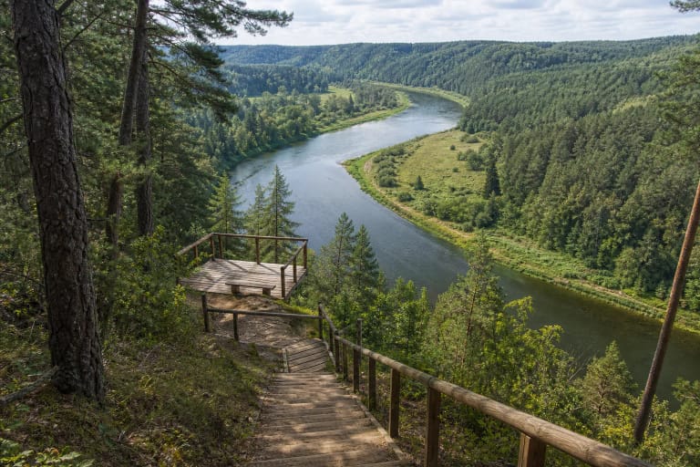
Neris Regional Park scarps
A System, Not One Address
The scarps of Neris Regional Park are not a single official object with one parking lot. They are a system of middle-Neris loops, terraces, outcrops, conglomerates, ravines, and viewpoints between Vilnius and Kernavė.
Saugoma.lt states that the park was established in 1992 and protects the great Neris loops, valley forests, ravines, and cultural heritage. The right question is not simply 'where are the scarps?' but 'which route should I choose?'
Where to Start
For a first visit, choose Paneriškiai viewpoint for a panorama, Karmazinai Nature Trail for archaeology and a high scarp, or Dūkšta Nature Trail for relief, outcrops, and a stream valley.
These points show different sides of the same system. Paneriškiai gives a broad Neris view, Karmazinai links river and burial mounds, and Dūkšta lets you feel ravines and slopes up close.
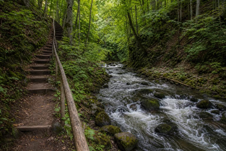
Outcrops and Conglomerates
In the park context, VLE mentions Karmazinai Outcrop, Dūkšta Outcrop, Bražuolė tufa outcrop, and Airėnai and Ausiutiškės conglomerates. These names show that the scarps are not just scenic edges but a set of geological forms.
Conglomerates, tufa, sandy slopes, and ravines reveal how water, sediments, and slope processes shape the Neris landscape. They are best seen from marked trails, not by trying to descend straight to the river.
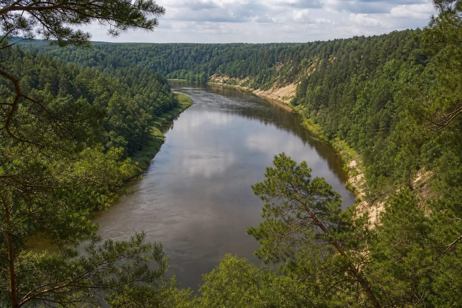
How the Neris Valley View Formed
Neris bends, side erosion, terraces, and ravines created a relief where steep edges alternate with forests and open viewpoints. Each scarp is a result of river work, ground structure, and slope processes.
Paneriškiai scarp is described in visitor sources as a high left-bank slope with one of the clearest river panoramas. In such places, the point is to see the whole bend safely, not to approach the edge.
Safe Visiting
Do not walk down steep unmarked slopes: it damages turf, speeds erosion, and creates slipping risk. Even solid-looking edges can be unstable after rain or frost.
Choose a dry day for scarps. After rain, use viewpoints and established trails rather than shortcuts. For more context, combine the scarps with Kernavė, Dūkštai Oakwood, or Karmazinai burial mound cemetery.