- Place
- Trakai District Municipality
- Region
- Vilnius Region
- Type
- glacial-channel lake
- Address
- 8 km southeast of Semeliškės, south of the Trakai-Semeliškės highway
- Coordinates
- 54.62948, 24.75069
- Visit duration
- 1-2 hours for the landscape and a legally reached shore; longer for a separate recreation stop
- Best time
- May-October in dry daylight; spring and autumn make the shore relief easier to read
Lake Ilgai, Ežeras Ilgai, Ilgiai
Ilgai: the official name and map point
The official VLE article is titled Ilgai, while visitor searches often add the form Lake Ilgai. It is the same lake in Trakai District Municipality, 8 km southeast of Semeliškės and south of the Trakai-Semeliškės highway.
The representative point 54.629481, 24.750687 marks the lake centre, so it is not a promise of an entrance, beach, or car park. Plan a lawful approach to the shore rather than driving towards the centroid.
A 4.6-kilometre glacial-channel basin
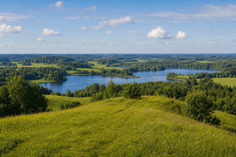
VLE gives Lake Ilgai an area of 133.3 hectares. From northeast to southwest it extends 4.6 km, reaches a maximum width of 650 m, and has a surface elevation of 147.6 m. This is a long, clearly oriented body of water whose full scale cannot be read from one shore.
The lake is of glacial-channel origin, reaches a maximum depth of 35.5 m, has an average depth of 11.7 m, and has an 11 km² basin. High, steep shores give the landscape relief but also mean that access conditions can differ greatly around the lake.
Two islands and the Strėva basin
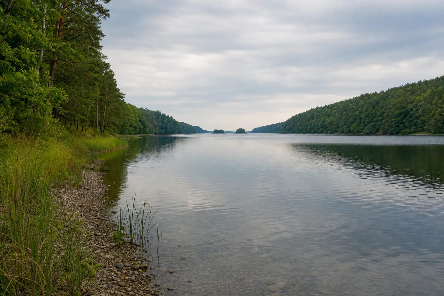
The southwestern end of Lake Ilgai divides into two branches, and VLE records two islands with a combined area of only 0.3 hectares. From shore they may look like small wooded silhouettes on the water; they are not visitor infrastructure or landing points.
VLE describes the lake as closed, places it in the Strėva basin, and gives a 20 percent throughflow. These hydrological details show that Lake Ilgai belongs to a wider Strėva water system even though its shore can initially look quiet and enclosed.
High shores and a narrow shallows
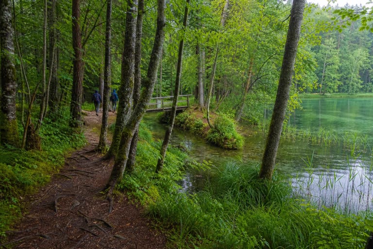
Lake Ilgai has a winding shoreline 13.8 km long. Its shores are high and steep, with forest on the northern shore. VLE describes the shallows as narrow and gravelly, partly muddy, with sparse reeds and bulrushes. These features give the lake a natural character but do not make every shore a convenient beach.
The official sources checked did not confirm a current public bathing site, permanent parking area, or signed circular trail specifically for Lake Ilgai. This page therefore does not invent a trailhead: choose a lawful access point locally and check whether it is open and passable on the day.
Reaching the shore without crossing private land
National Land Service guidance published through the Ministry of Environment on 2026-06-11 explains that people may pass along a shore, but must reach the water by a public road, path, or another lawful access. Do not cross a private yard or plot without permission, and do not use a private pier or other private infrastructure.
Leave a car on a road, in a car park, or in another designated place rather than on a meadow, forest track, or shore. Take rubbish with you, avoid damaging vegetation, and do not turn the central map point into a new descent to the water.
A quiet lake without invented promises
Lake Ilgai suits visitors who want to observe the form of a glacial-channel lake, the relationship between woodland and water, and the relief of high shores rather than a service-filled recreation park. Dry weather makes a gravelly edge easier to assess, while spring and autumn make the shore structure clearer before dense leaf cover.
The lake is deep, the shores are steep, and the sources checked did not provide a current water-quality report for an Ilgai bathing site. For swimming or boating, use only a lawful and safe location, check same-day local information, and do not infer depth or currents from a calm surface.