- Place
- Vievis Eldership, Elektrėnai Municipality
- Region
- Vilnius Region
- Type
- mythological spring in a forest erosion ravine
- Address
- Paneriai Forest near Asiutiškės hamlet, Vievis Eldership, Elektrėnai Municipality
- Coordinates
- 54.76798, 24.93930
- Visit duration
- 30-60 minutes at the spring; longer if combined with a Neris Regional Park route
- Best time
- Dry daylight; after rain, take extra care on the ravine slopes and steps
Pinyklos Spring, Pinyklos Source
A spring at the start of the Velniakampis Loop
Pinyklos Mythological Spring is in Vievis Eldership, Elektrėnai Municipality, in Paneriai Forest near Asiutiškės hamlet. The Lithuanian Geological Survey places it on the left bank of the Neris, west of the river in the forest, at the start of the Velniakampis Loop, about 0.5 km from the Neris.
The map point 54.767976, 24.939297 marks the spring itself rather than a car park or the start of the entire educational route. The final approach follows a forest path and descends into the ravine.
A landscape of sandy terraces and ravines
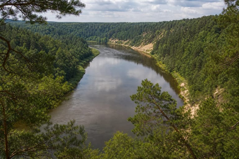
The Geological Survey places the spring in the lower Neris valley, where the Vievis limnoglacial and ancient alluvial plains meet. Wavy sandy ground and pine woods are varied by Pleistocene terraces, gullies, collapsed thermokarst hollows, and steeper erosion slopes.
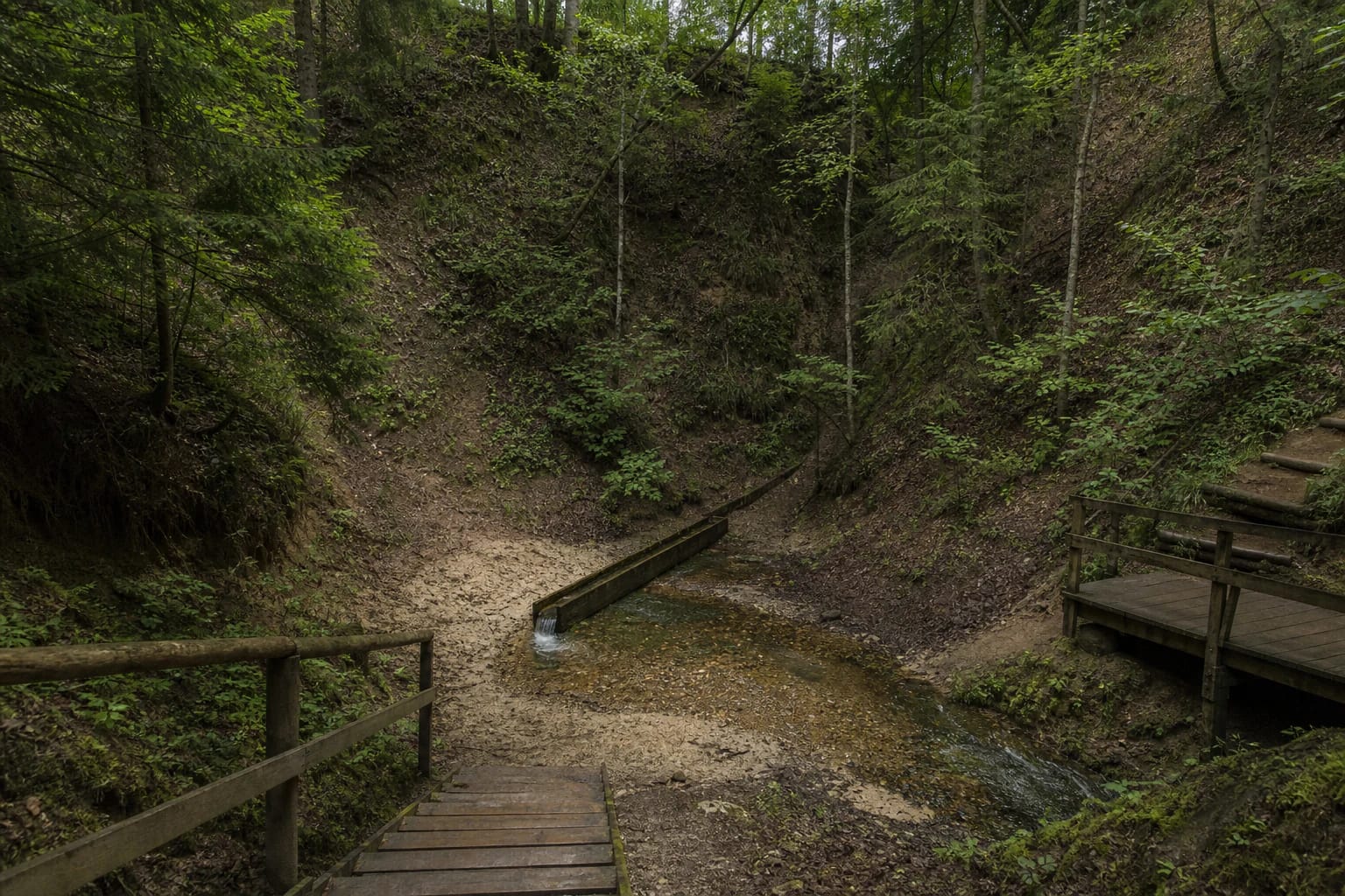
The spring opens about 100 m from the head of a ravine, 3-5 m below a steep erosion bank. It is about 34 m above the Neris on the slope, and its water runs east along a sandy, gravelly washout bed through a wooded ravine toward the river.
Steps, a channel, and a low-discharge source
This is a permanent but low-discharge falling erosion spring. The Geological Survey records a flow of 0.24 l/s, or 20.8 cubic metres per day. Several additional, slowly seeping groundwater outlets are described below the main source.
The Geological Survey describes a tidy, maintained setting: a path descends from the tourist-route track into the hollow, wooden steps lead into the ravine, a small platform makes the source easier to approach, and a wooden channel is set into the retaining wall at the captured spring head. After rain, the timber, sand, and steep slopes may be slippery.
What the water measurements show
In the Geological Survey’s 2014 description, the water was clear, odourless, and free of iron deposits. At that time its temperature was 6.5 °C, and its pH measured at 20 °C was 7.89. It was classified as calcium-magnesium hydrocarbonate and sulphate water, with mineralisation of 270 mg/l.
These data describe a particular survey, not a guarantee for today. A natural source can be affected by heavy rain, surface pollution, animals, or changes to the site, so do not treat it as continuously monitored drinking water or wash your eyes with it.
The mythological name and local memory
People from nearby villages have known the Pinyklos Spring for generations. The Geological Survey’s folklore record preserves stories that its water was used for sore eyes, that girls washed their faces with it to preserve youth, and that village wise people collected it for spells. Mythological here describes cultural memory and belief, not a laboratory conclusion about healing powers.
Other Neris valley markers are mentioned nearby: the Ausiutiškės conglomerate lies farther north, and the Karvutė stone rises from the Neris. They can be understood as part of one river-valley story, but reach slopes and the river only by established routes and do not disturb the natural heritage.
Visiting in Neris Regional Park
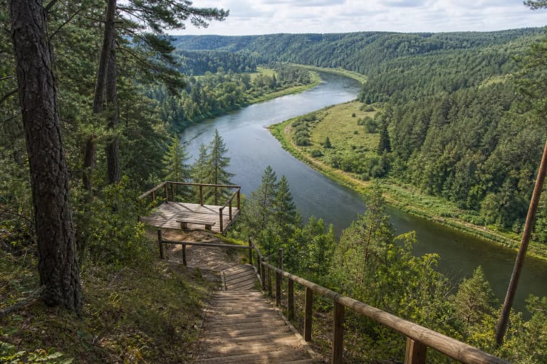
Pinyklos Spring lies in the Neris Regional Park landscape, where the Neris loops, forests, erosion valleys, springs, and cultural heritage are protected. The Geological Survey notes tourist-route tracks linking the Paneriai Forest viewpoint and Bražuolė campsite directions, with a side track toward Pugainiai leading to the spring.
There is no need to drive to the ravine or create a new access route. Leave a car where parking is allowed, use the steps carefully, do not enter the spring head or remove stones, and take rubbish away. Check the latest park information before relying on the site infrastructure.