- Place
- Elektrėnai Municipality, Neris Regional Park
- Region
- Neris Valley
- Type
- a state-protected conglomerate natural-heritage object
- Address
- Ausiutiškės area, Elektrėnai Municipality
- Coordinates
- 54.77884, 24.93827
- Visit duration
- 30-60 minutes for the object and Neris valley view
- Best time
- a dry spring to autumn day; stairs and slope can be slippery after rain
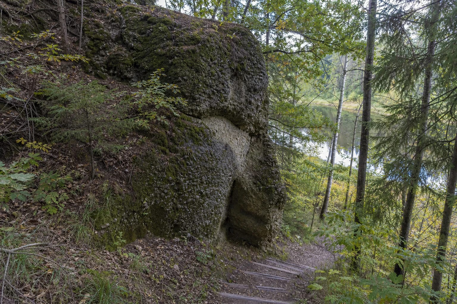
Ausiutiškės conglomerate, Ausiutiškės conglomerate rock
A Rare Geological Object on the Neris
Ausiutiškės Conglomerate is a state-protected geological natural-heritage object in Elektrėnai Municipality, within Neris Regional Park. The State Service for Protected Areas lists it among the municipality's geological objects alongside Bražuolė Stone and the Bražuolė tufa outcrop.
Conglomerate consists of sediments of different sizes-from sand to gravel and small pebbles-joined by natural cement. Up close, it is not an ordinary boulder: the surface reveals bound particles, layers, and irregular edges shaped by natural processes.
The coordinates 54.778843, 24.938268 on this page mark the heritage object itself. Navigation to the point does not mean that a car will be beside the rock: the final section follows a tourist route downhill towards the Neris.
How the Conglomerate Formed
Conglomerate is a sedimentary rock in which coarse and fine particles are bound by mineral cement. The Lithuanian Geological Survey explains that coarse, water-permeable deposits form first; later, groundwater carries dissolved materials into them, and crystallisation cements the layer.
This process distinguishes Ausiutiškės Conglomerate from ordinary glacial boulders. The important feature is not simply the size of the rock but how sand, gravel, and pebbles became a single stone that still preserves a layered surface.
Observe the object as a geological section, not as a climbing wall. Do not break its surface, pick at its particles, or try to remove a fragment: that would destroy the value that brings visitors here.
Access Along a Tourist Route and Steep Shore
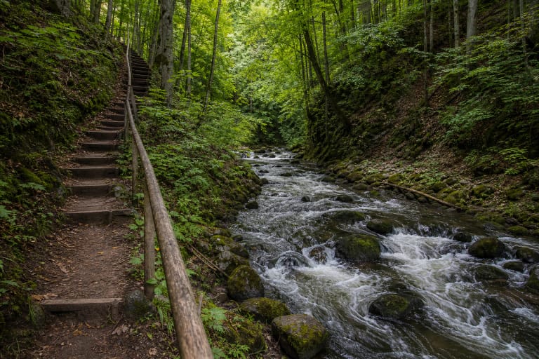
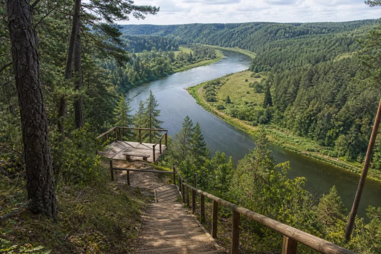
Official access information says the conglomerate is reached along a tourist route on the left bank of the Neris. Stairs lead down a steep wooded slope to the object, so the short distance from the route to the rock is not a level walk.
After rain, during a thaw, or under fallen leaves, stairs, roots, and slope soil can be slippery. Wear shoes with good grip, descend slowly, and turn back if the timber or ground is clearly unsafe.
No reliable public confirmation was found that the entire approach is step-free or suitable for wheelchairs and pushchairs. Stairs and a steep natural descent mean that visitors should assess the actual route, not rely on the coordinates alone.
The Conglomerate in the Neris Valley
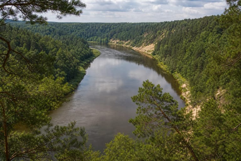
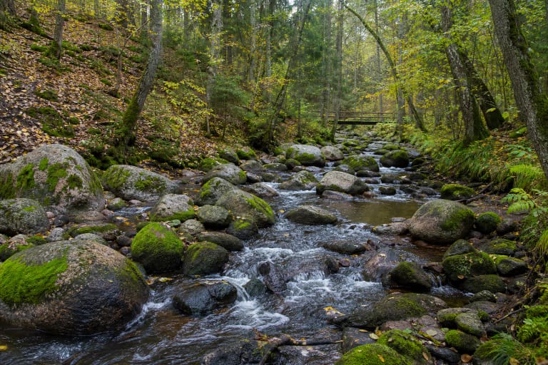
The rock is not an isolated geology exhibit but part of the wooded Neris valley. The walk to it is also a short lesson in riverbank, high slope, woodland floor, and water-shaped relief.
The route and nearby viewpoints open views over the Neris loops. The conglomerate shows that the park's value is not only a wide panorama: outcrops, slopes, boulders, and sediments of different ages add depth to the landscape story.
The object combines well with the whole Neris Regional Park route, the park-scarps guide, or another nature trail. Do not automatically add every distance and duration, because access between park sites depends on the chosen approach.
Safe and Respectful Visiting
Use the prepared approach and stay away from unstable slope edges. The conglomerate can be damp and the ground uneven, so do not step into a risky position for a photograph where one slip could send you down the slope or towards the water.
Do not light fires, leave rubbish, collect rock fragments, or widen informal descents. The natural-heritage object is small, and repeated steps over its edges quickly damage plants and soil.
Supervise children closely near the stairs, rock, and river. For a longer outing, plan the safe return to the route first and only then add other Neris Regional Park stops.