- Place
- Sudervė Eldership, Vilnius District Municipality
- Region
- Neris Regional Park
- Type
- a forest lake with an official campsite approach
- Address
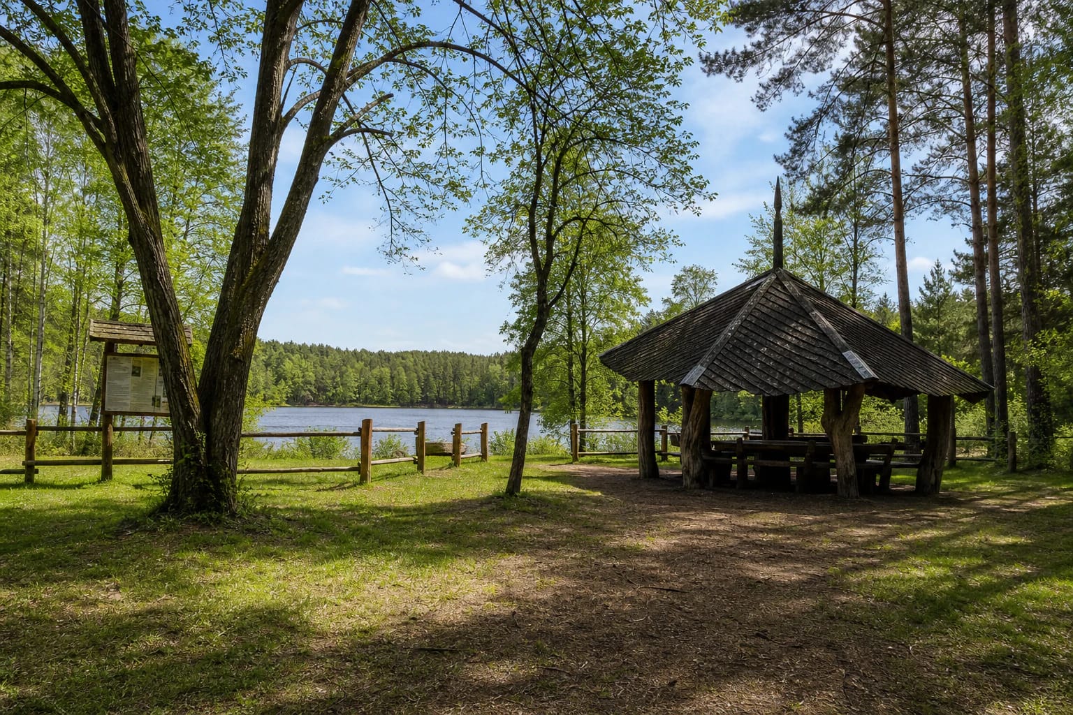
- Campsite by Elniakampis Lake, surroundings of Elniakampis village, Sudervė Eldership, Vilnius District
- Coordinates
- 54.78700, 24.97100
- Visit duration
- about 1-2 hours; longer if combined with a woodland route or another Neris Regional Park site
- Best time
- a calm, bright spring, summer, or autumn half-day; forest roads and shores can be slippery after rain
Elniakampis, Elniakampis forest lake, Campsite by Elniakampis Lake
Elniakampis is the largest of seven small lakes in Dūkštai-Šilėnai Forests
The Universal Lithuanian Encyclopaedia describes Dūkštai-Šilėnai Forests as a large, hilly woodland territory in Vilnius District with seven small lakes. Elniakampis is the largest of them. The setting is shaped not only by the water mirror but also by the forest mass, ravines, and slopes that become steeper towards the Neris.
The name can be confusing because Elniakampis is also a village name, while the nearby landscape includes Elniakampis or Velniakampis Hillfort, forest, and former manor sites. This page is about the lake itself. For navigation, search for Elniakampis Lake or the official campsite by the lake rather than the settlement name alone.
The shoreline is not an urban park with one continuous path around the entire lake. Its appearance depends on the season, water level, foliage, and which approach can be reached that day without damaging a forest road or entering private land.
The official marker identifies a campsite, not the lake's geographic centre
Saugoma.lt gives the official campsite by Elniakampis Lake at 54.787, 24.971. This page treats that point as the visitor approach because finding a lawful place to stop and reach the water is more useful than pretending that one coordinate can describe the centre of the whole lake.
The campsite entry confirms a visitor-infrastructure location but does not describe every path, shoreline section, seasonal facility, or water-quality result. Follow signs present on the day and do not move the official approach point to another shore on your own.
A visit to Elniakampis is a woodland outing, and the final road surface and space to turn around may change. Keep the track clear, avoid soft ground, and do not drive to the water's edge unless an established approach clearly allows it.
The lake belongs to the protected landscape of the middle Neris
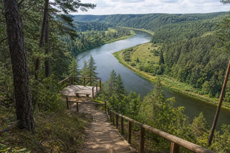
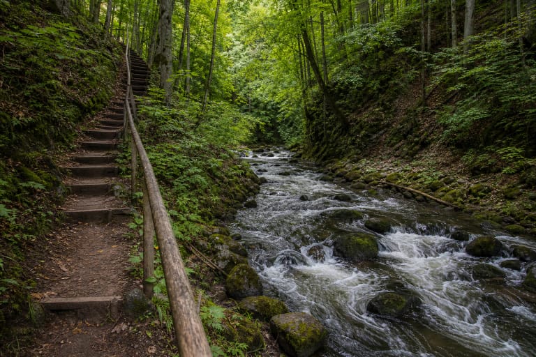
Elniakampis Landscape Reserve protects a section of the Neris valley with pronounced terraces, ravines, thermokarst and aeolian landforms, the natural Elniakampis and Karmazinai bends, and Paneriai Island. Saugoma.lt gives the reserve an area of 3,243 hectares.
The legal-register material identifies the Elniakampis (Velniakampis) Landscape Reserve as one of the conservation-priority zones of Neris Regional Park. That status matters to visitors: the lake is not a standalone recreation park but part of a larger system of valley relief, forest habitats, and cultural heritage.
The protected area includes Western taiga forest habitats and plant localities, as well as the Paneriai manor homestead and park. At Elniakampis, look beyond the water to the quiet relationship between forest and Neris valley relief.
The water world of Elniakampis and the surrounding forests
The Universal Lithuanian Encyclopaedia names the Elna, Vilkė, and Čekonė among the right-bank tributaries of the Neris flowing through Dūkštai-Šilėnai Forests. Elniakampis belongs to this small-stream landscape, so the lake's calm surface is connected to the wider woodland water regime rather than only to a beach view.
A small forest lake quickly shows the season. In spring, the shore may be wet; in summer, grasses and leaves close in; autumn opens reflections between the trees; and in winter, ice safety cannot be assumed simply because the surface looks continuous. Never use the ice as a path on appearance alone.
The official visitor sources checked do not provide a current whole-lake water-quality test, supervised beach, or lifeguard schedule. Do not promise swimming, boating, or drinking water based only on the calm appearance of the lake.
How to visit without damaging the protected setting
Reach the water by an existing road or path and use the official campsite approach. Do not cross private yards, widen tracks through the forest, or park on shore grass. If a road is blocked or the ground is saturated, turn around in a safe place.
If you use campsite facilities, follow the rules posted there. Make fires only in a designated place, do not disturb the forest floor, do not feed wild animals, and take all waste away. The quiet of the shore matters more than a photograph taken at the water's edge.
Supervise children continuously near the lake, especially on wet banks, at the water, and near possible ice. Keep dogs from disturbing birds and other wildlife. In the protected Elniakampis landscape, a small visitor footprint is the best result of a visit.