- Place
- Aukštadvaris, Trakai District Municipality
- Region
- Aukštadvaris Regional Park
- Type
- state-protected hydrogeological natural heritage site
- Address
- Verknės Street, Aukštadvaris, Trakai District Municipality
- Coordinates
- 54.57569, 24.52745
- Visit duration
- 20-40 minutes
- Best time
- spring or summer, when the flow and the oxbow setting are easy to inspect
Aukštadvaris Spring, Verknė Spring
A spring on the old Verknė channel
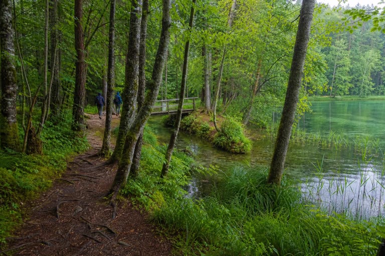
The spring lies on the south-western edge of Aukštadvaris, on the left bank of the Verknė oxbow. It emerges beneath black alders in a narrowed section of the floodplain valley, roughly 2 m from the channel. The outlet sits about 1 m above the oxbow's water level and runs downhill over a short course.
The State Service for Protected Areas lists it among the state-protected hydrogeological natural heritage sites of Trakai District. The protected feature is not merely a convenient place to collect water. It includes the groundwater outlet, the moist riverside relief, and the spring's relationship with the former river channel.
What the measurements show
Saugoma records a discharge of about one litre per second and an absolute elevation of 120 m. A Lithuanian Geological Survey description measured water at 11 °C, without odour or taste, and with a pH of 7.13. These are results from a particular investigation, not a promise that the readings never change.
Saugoma states that the tested parameters met drinking-water standards. Natural spring water can nevertheless change after heavy rain, flooding, or a pollution event, so an undated profile is not a substitute for a current laboratory test. Children, pregnant people, and anyone medically vulnerable should prefer regularly monitored drinking water.
The oxbow, mill, and altered river
Before the river was altered, this place belonged to an active working landscape. Local descriptions record a mill, sawmill, and bridge beside the channel before the Second World War. Residents used the spring for drinking and household needs.
Construction of the Aukštadvaris hydroelectric plant in 1959 diverted the main Verknė flow farther from the town. Springs and water from the valley slopes now feed the remaining oxbow. The visitor is therefore looking at part of a human-altered river where a natural groundwater outlet has remained active.
The living-water tradition
Older residents tell of eastward-flowing water, described in the traditional phrase as running against the sun, with healing power. It was called living water because it bubbles and was said not to freeze in winter; treatments for the eyes appear especially often in the oral tradition.
This is significant local memory, not medical evidence. Spring water should not replace prescribed treatment, and using untested natural water on the eyes or for drinking carries a microbiological risk. The place is best understood by keeping three strands separate: documented measurements, everyday community use, and healing narratives.
Boardwalk access and the current visitor rating
A wooden platform and spout provide access to the flow. Saugoma states that a visitor with reduced mobility can reach the deck, but the platform has no kerbs. Wet boards may be slippery and conditions change, so check official information before travelling if step-free access is essential.
There is no ticket office or published regular opening schedule. Do not wash containers at the source, enter the channel, or rearrange its stones. On 27 July 2026 the Google Maps listing showed 4.7 out of 5 from 103 reviews; both figures are changeable.