- Place
- Aukštadvaris, Trakai District Municipality
- Region
- Trakai District
- Type
- protected-area visitor centre
- Address
- Dariaus ir Girėno g. 2, Aukštadvaris, Trakai District
- Coordinates
- 54.57900, 24.52400
- Visit duration
- 45-90 minutes for the exhibition and route planning; longer for a booked education programme
- Best time
- at the start of a trip through Aukštadvaris Regional Park, or on a rainy day when you want to explore the landscape indoors
Aukštadvaris Regional Park Visitor Centre, Aukštadvaris Visitor Centre
One specific centre, not the whole regional park
The Aukštadvaris Regional Park Visitor Centre is at Dariaus ir Girėno g. 2 in Aukštadvaris. It is a specific place for an exhibition, advice, and bookable activities, not another name for the entire park. Coordinates 54.579, 24.524 mark the entrance area.
This is a useful starting point if you have not decided whether you want a hillfort, lake, forest trail, viewpoint, or protected-landscape story. Maps and staff advice can narrow the large park's options by time and season.
If you are combining the centre with outdoor stops, collect the latest route information here and ask which paths suit your group that day.
The Royal Road and a historic landscape
The permanent Royal Road exhibition presents a route that crossed Aukštadvaris in the ninth to fourteenth centuries, running from Vilnius through Trakai towards Birštonas. This is more than a route name: it helps explain why settlement, hillforts, and lakes meet here.
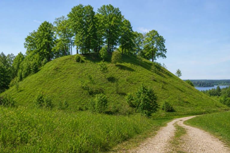
The exhibition introduces a defensive line that included the Navininkai and Aukštadvaris hillforts, as well as the region's lakes, forests, and protected species. History is connected to present-day conservation, so visitors can move from the map directly to a real route.
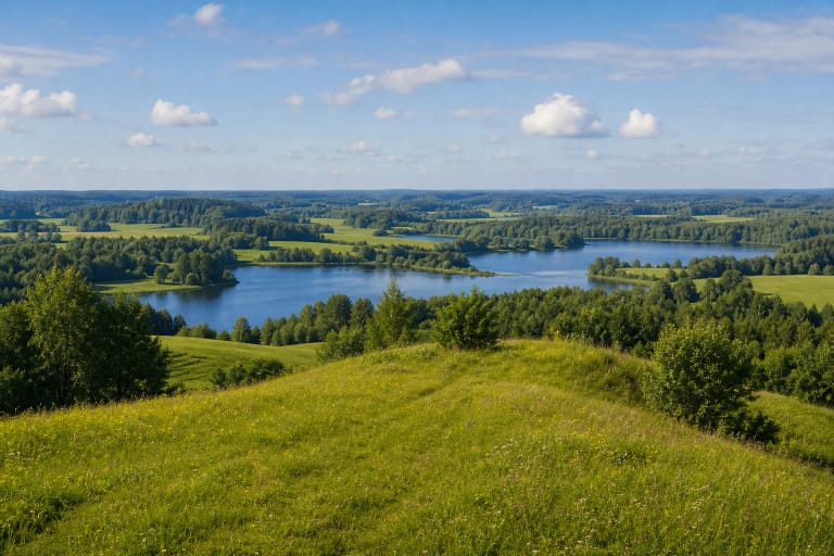
The Aukštadvaris area has more than 250 hills. The highest are Gedanonys at 257.4 m and Gelionys at 255 m. These figures describe the wider relief, not the height of the building or a separate observation tower.
An interactive map and family activities
The centre offers more than information panels: an interactive route map can help visitors arrange trails, attractions, rest areas, and services. A puzzle map of the Grand Duchy of Lithuania presents historical connections in a more playful form.
This is especially useful for families who want to agree on how far they will walk and what they will look for. Children can be asked to find a chosen hillfort on the map or connect the road in the exhibition with a real Aukštadvaris street.
After the exhibition, head outdoors with a route matched to the surface, weather, and your group's ability. The centre can advise, but a staff consultation cannot guarantee that every trail will be dry, open, or suitable for a pushchair on a particular day.
Opening hours and accessibility
The centre usually opens Tuesday-Friday 09:00-18:00 and Saturday 10:00-15:00; it is closed Sunday and Monday. It closes on public holidays and works one hour less on the day before a holiday. Check the timetable before travelling.
The first floor is adapted for visitors with mobility difficulties and has a toilet. This does not mean every outdoor trail or park stop is equally accessible, so plan a longer route separately.
A self-guided exhibition ticket costs €4 for adults and €2 for preschool children in organised groups, schoolchildren, students, visitors with disabilities, and pensioners; children under six outside organised groups enter free. A guided exhibition visit costs an additional €3 per person for a group of 10, or with a 10-person minimum charge. Prices and conditions may change, so check them before travelling. If you are travelling as an organised group or have a particular access requirement, contact the centre before arrival.
Planning a visit to Aukštadvaris Regional Park Visitor Centre
Allow 45-90 minutes for the exhibition, map, and a short consultation. A booked education programme or guided activity needs extra time and prior arrangement; treat it as a separate booking rather than an assumed part of the daily timetable.
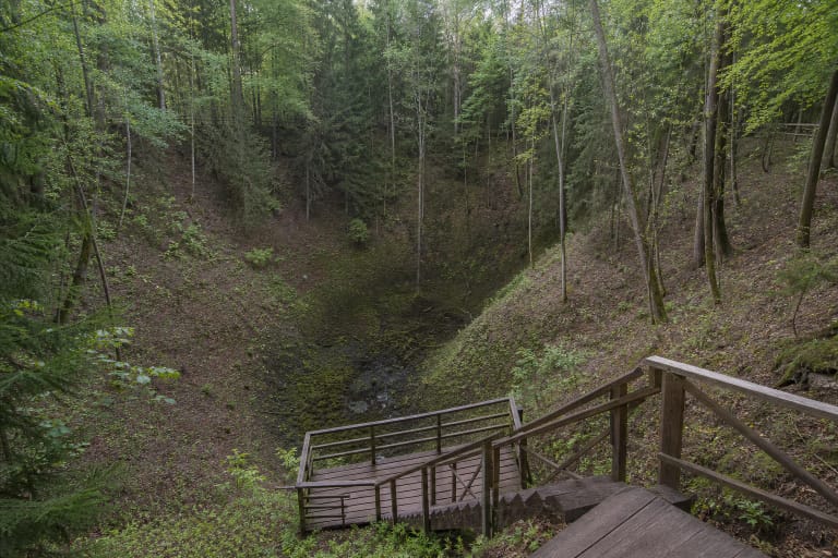
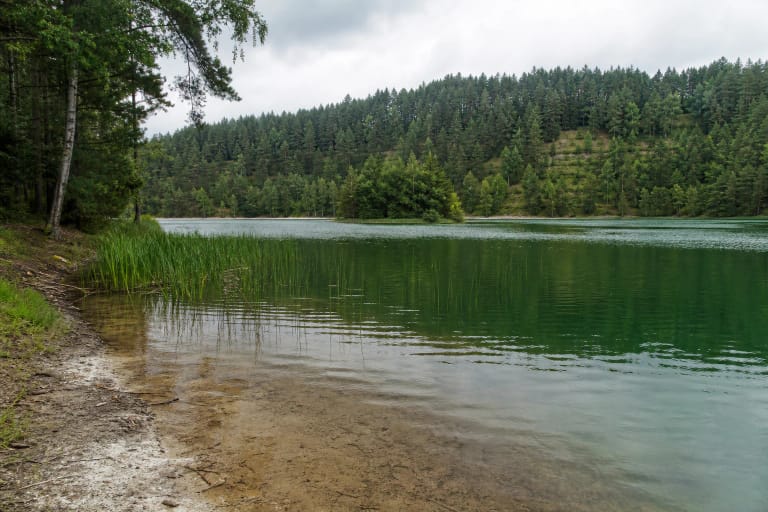
Choose one main stop and one backup before leaving. Aukštadvaris Hillfort, Devil's Pit, Lake Vilkokšnis, and Spindžius reveal different layers of the park, but driving and walking time between them must be assessed realistically.
Parking capacity and park services can change. Follow local signs when you arrive, keep access routes clear, and carry the protected-area rules from the centre into the rest of your itinerary.