- Place
- Trakai Eldership, Trakai District Municipality
- Region
- Vilnius Region
- Type
- a glacial tunnel-valley lake in Trakai District Municipality
- Address
- Lake Margis, Trakai Eldership, Trakai District
- Coordinates
- 54.60457, 24.80870
- Visit duration
- 1-2 hours for a selected lakeshore stop; longer when combined with a Trakai District route
- Best time
- May to September for water views; spring or autumn to read the shore relief and see the marshy lake ends
Margis, Margio ežeras, Lake Margis near Trakai
Lake Margis is near Trakai, and the map point is not one public entrance
Lake Margis lies in Trakai District Municipality, about 7 kilometres southwest of Trakai beside the Trakai-Aukštadvaris road. The official encyclopaedic name is Margis, while Margio ežeras is the familiar genitive form used in navigation and everyday speech. Do not confuse the lake with the hotel and leisure complex of the same name: this page describes the water body, not private accommodation.
The coordinate 54.60456635, 24.8086994 is a representative point for locating Lake Margis on a map. It is not a guaranteed car park, beach entrance, or permission to cross private land. Drive only on marked roads, leave vehicles in lawful places, and follow signs at the particular shore you choose.
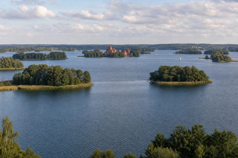
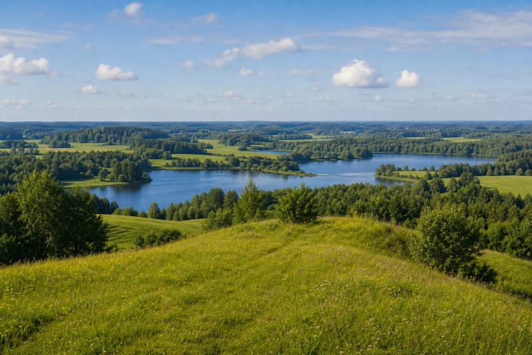
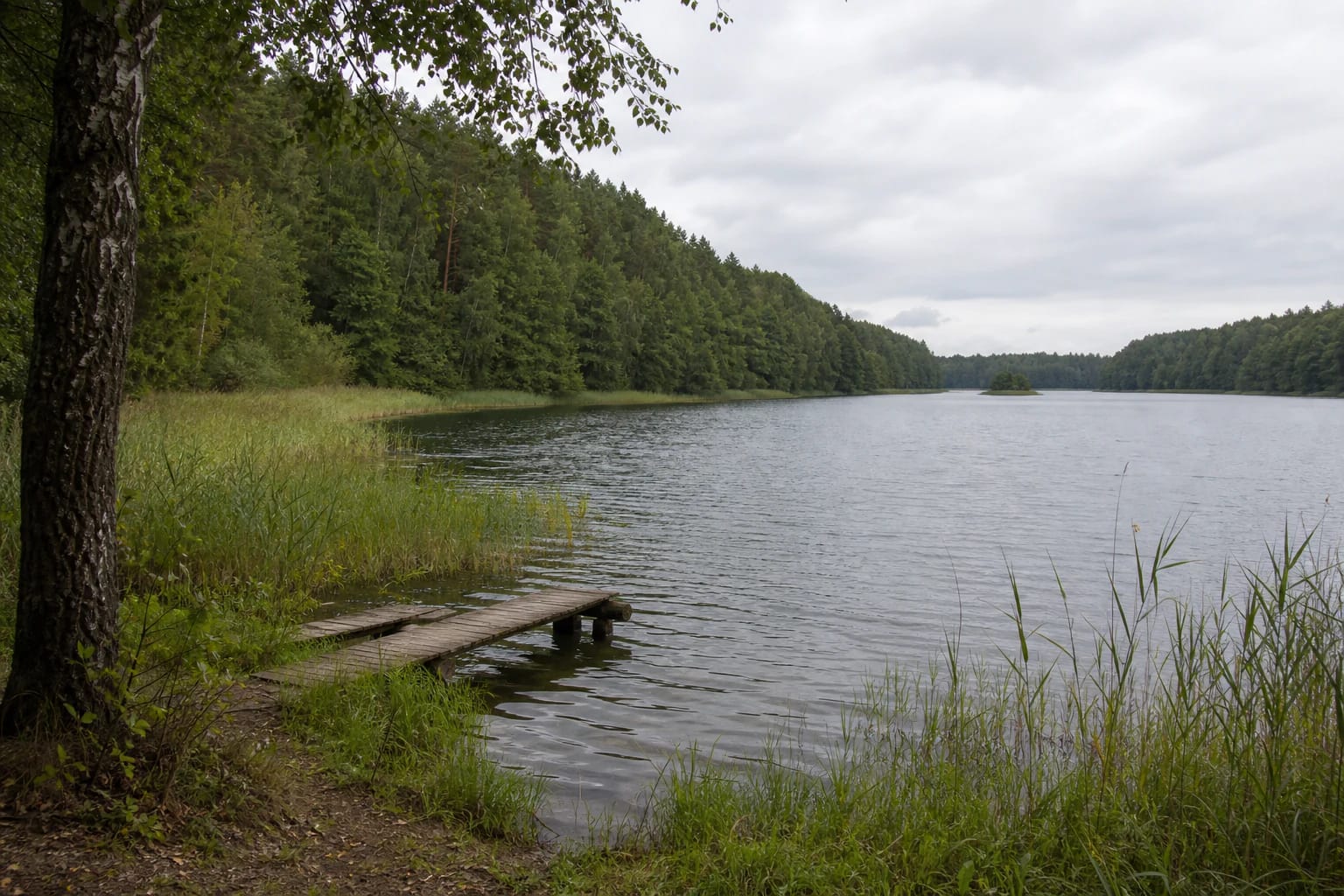
Real photographs of the lake show calm water, a high wooded opposite bank, birch and pine trees, reed-lined margins, and occasional simple wooden piers. That visual context matters: Margis is a lake landscape with scattered private shores, not one continuously developed recreation zone.
A glacial tunnel valley shaped the lake's measurements and relief
VLE gives Lake Margis an area of 121.3 hectares, a west-to-east length of 3.7 kilometres, and a maximum width of 0.42 kilometres. Its surface elevation is 145.3 metres. These figures describe a fairly long, narrow lake whose winding shoreline changes the view from one stop to the next.
Margis is a glacial tunnel-valley lake. A tunnel valley is an elongated hollow carved by meltwater beneath an ice sheet, which explains why the shores can rise high above the water and form a pronounced basin. Maximum depth is 20.4 metres and average depth 8.6 metres, but those are lake-wide values, not a promise about the depth at any bathing point.
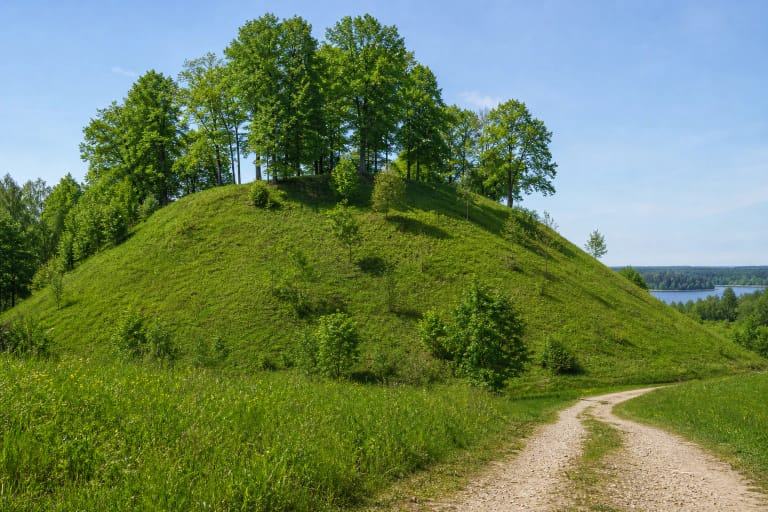
The lake's catchment covers 41.2 square kilometres, while its winding shoreline is 9 kilometres long. VLE emphasises that most shores are high and steep, while the western and eastern ends are lower and marshy. When visiting, notice how a gentle bank turns into a slope, wet meadow, or reed bed rather than reading the whole shore as one uniform beach.
An island, a strait, and the water route to Lake Juodikis
Lake Margis has an island of about 0.2 hectares. From shore it may look like a small wooded mound in the middle of the water, so it is easiest to see from a more open bank or from a boat used lawfully. The island is not automatically a picnic or landing place: its shore and access must be assessed against local rules.
In the west, a narrow strait links Margis with Lake Juodikis. VLE places Margis in the Verknė and Strėva basin and gives a water exchange rate of 116 percent. This is a hydrological measure of circulation, not the visible speed of a river or a promise that the whole connection can be navigated safely.
Four streams flow into the lake, and the lake bed and fauna have also been described in older state fisheries research. Such information helps explain Margis as a living part of a catchment, but it cannot establish today's water quality or bathing safety.
A narrow sandy littoral is not a continuous beach
VLE describes Margis as having a narrow, sandy littoral. This is the shallow near-shore zone, not a claim that all 9 kilometres of shoreline are covered by the same sand. Low marshy ends, reeds, roots, stones, and private shorelines can change access within a few dozen metres.
On a hot day, do not jump into the water from an unfamiliar pier or steep bank. The lake-wide average depth is 8.6 metres, while a local bottom may be uneven, muddy, or contain underwater obstacles. Keep children within reach and use life jackets when boating.
After rain, lower shores can be boggy and higher slopes can have slippery grass or loose soil. Do not cross protected or private land as a shortcut and do not cut through reed beds. Margis is best experienced from an existing lawful access point, not by making a new path across the shore.
Making Lake Margis part of a Trakai District day trip
Margis combines well with the Trakai, Galvė, and Aukštadvaris landscapes, but each place offers a different experience. Trakai's lakes have more urban and cultural sites, while Margis offers a quieter relationship between woodland and water. Build the day around a specific lawful approach rather than the lake's central coordinate alone.
The sources checked do not identify one lake-wide ticket, ticket desk, or visitor opening schedule. This does not mean every shore is freely accessible: public spaces, residential properties, leisure complexes, and protected habitats can have different rules.
Choose daylight, check the road and weather conditions before travelling, and use the lake name in navigation while separately confirming a lawful access point. Do not drive down forest tracks towards the water, park on a meadow, or leave litter on the shore.