- Place
- Vilnius City Municipality
- Region
- Pavilniai Regional Park
- Type
- Vilnius panoramic viewpoint on a former ski-slope hillside
- Address
- 49 Rokantiškių Street, Vilnius, Lithuania
- Coordinates
- 54.70473, 25.35504
- Visit duration
- 30-60 minutes at the viewpoint; longer if you continue into Pavilniai Regional Park
- Best time
- Sunset or the leafless autumn and winter seasons, when the city and Vilnelė valley contours are clearer
Rokantiškiai viewing platform, Highest Viewpoint
Rokantiškiai Viewpoint is beside a former ski slope
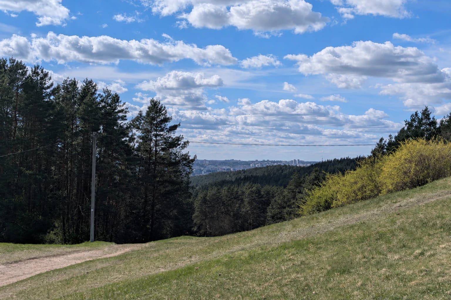
Rokantiškiai Viewpoint is beside Rokantiškių Street in Pavilniai Regional Park, within Vilnius City Municipality. The exact site point is 54.704733, 25.355039, and the Vilnius municipality identifies the viewpoint at 49 Rokantiškių Street. The point marks the panorama, but it does not guarantee parking beside the hillside.
Sources describe the approach differently: Vilnius City gives 49 Rokantiškių Street, while the Nature Research Centre associates the viewpoint with Viršupio Street. These are approach references to the same hill, so use the exact viewpoint point for navigation and check signs on site.
The place is defined by the relief of a former ski slope and surviving lift elements. It is not Rokantiškiai Hill, the highest natural hill in another part of Pavilniai Park, nor the separate Rokantiškiai Castle Site or Hillfort.
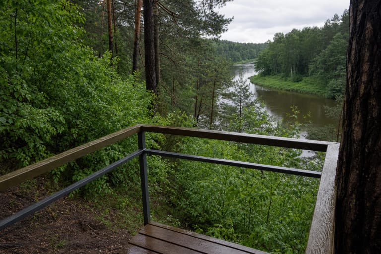
The high ground opens onto the Vilnelė Valley and farther Vilnius
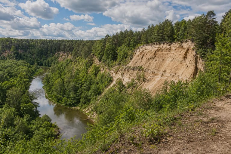
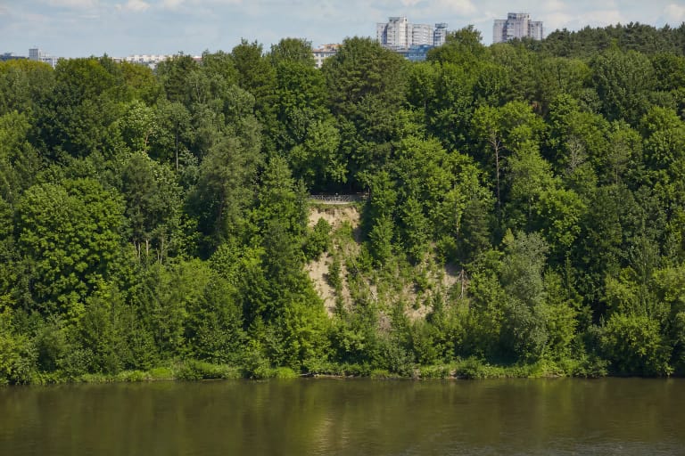
The viewpoint looks across the wooded Vilnelė Valley towards New Vilnia and the eastern city skyline. Depending on weather and foliage, distant towers, apartment blocks, and erosional spurs appear beyond the trees. The key feature is not one building but the deep green valley, which makes Vilnius feel far less urban from this hillside.
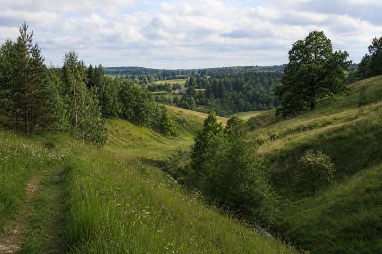
Pavilniai Regional Park sources emphasize panoramic views, while Vilnius landscape descriptions connect the city with erosional hills, ravines, and the Vilnelė Valley. At Rokantiškiai these layers meet in one frame: forest slope, valley floor, river direction, and city horizon.
The former slope carries a memory of sport and the city edge
The Rokantiškiai hillside was once used for skiing, and local photographs and descriptions mention old lift structures. Today that is not a promise of a functioning ski centre, lift, or equipment rental. Treat the old structures as landscape markers and inspect them only from a safe distance.
In winter the hill may appeal for sledding or a snowy landscape, but the slope, ice, and lift remains require a careful on-site assessment. Do not move beneath the structures, touch rusty elements, or let children run towards the steep bottom of the former run.
Rokantiškiai belongs to Pavilniai Park's distinctive relief
Saugoma.lt records that Pavilniai Regional Park was established in 1992, covers 2,176 hectares, and is Lithuania's smallest regional park. It protects the Vilnelė Valley and the Kalnai, Šveicarija, Iškartai, Barsukynė, Rokantiškiai, Markučiai, and Tuputiškiai erosional ravines, as well as cultural-heritage sites.
The Nature Research Centre places Rokantiškiai Viewpoint at the highest point of Vilnius's erosional hill country, 230 metres above sea level, and suggests the name Highest Viewpoint to avoid confusion with other Rokantiškiai sites. Treat that as a proposed explanatory name; use the established Rokantiškiai Viewpoint name for navigation.
The walk is short from the cemetery side, but the slope is not step-free
The Rokantiškiai Cemetery side is the usual parking orientation, while Lyglaukiai stop is the common public-transport reference. These are route guides rather than permanent guarantees: do not pass barriers, block cemetery or residential access, and follow current signs on site.
The ground from the parking area to the panorama may be uneven or steep. Roots, sand, leaves, and ice increase the slipping risk after rain or in winter. A level path, ramp, or universal access is not officially confirmed, so plan carefully with a wheelchair or limited mobility.
The panorama is best when you respect the hillside
In the eastern Vilnius hills, weather affects both the view and safety. Leafless autumn and winter reveal more of the city, but make the slope more slippery; summer brings greener woodland but hides part of the panorama. Sunset often gives warmer light, while a dry day after rain calls for shoes with firm grip.
Stay on the upper rest area and clear paths, do not descend the slope simply to shorten the route, do not touch lift structures, and do not make new tracks. Take rubbish with you, protect the forest floor, and remember that the viewpoint sits where a residential city meets protected relief.