- Place
- Varėna District Municipality
- Region
- Dzūkija
- Type
- lake and recreational bathing place
- Address
- Glėbas, Varėna District Municipality
- Coordinates
- 54.24828, 24.50571
- Visit duration
- 1-2 hours at the water and forest shore
- Best time
- a quiet morning or evening from spring to autumn; check the latest municipal information during the bathing season
Glėbo ežeras, Ežeras Glėbas, Glėbas
Glėbas near Varėna
The official name of the lake is Glėbas. It is in Varėna District Municipality, about 2 kilometres west of Varėna beside the Vilnius-Druskininkai road. The Encyclopaedia of Lithuania gives an area of 132 hectares, a nearly circular shape, and a diameter of about 1.4 kilometres.
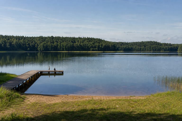
The lake is close to a main road, and the page coordinates lead to the Lake Glėbas bathing site monitored by Varėna District Municipality. Park only in an indicated place, and do not try to reach other shores across private land or along restricted forest roads.
A glacial basin in the Merkys catchment
The Glėbas basin was hollowed out by a block of glacial ice. Its surface elevation is 112 metres, its maximum depth is 11.1 metres, and its average depth is 3.5 metres. The catchment covers 6.1 square kilometres, the throughflow is 34 percent, and the lake belongs to the Merkys basin.
These facts explain Glėbas's character: it is not a shallow backwater but a relatively deep forest lake whose form and water exchange are linked to glacial relief. Even so, do not judge the depth at a particular bathing spot only from clear water or the appearance of the shore.
Sandy shores, forest, and marshy bays
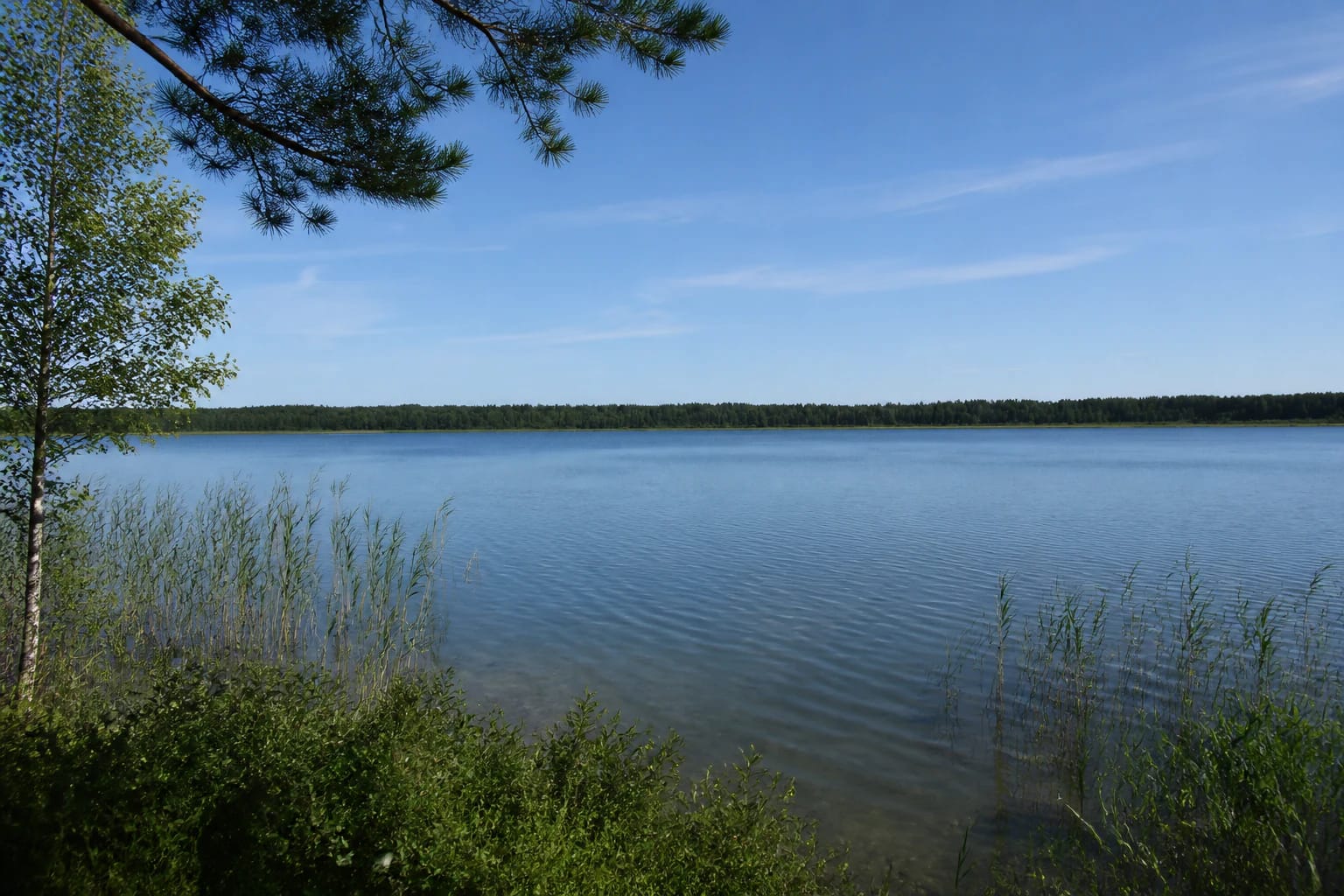
The shores of Glėbas are low and sandy, while parts of the west, north, and south shores are marshy. Forest surrounds the lake, so an open shore reveals a continuous low forest line across the water, while reeds and wet vegetation meet the lake at the edge.
A marshy shore is not a good place to invent a new route. Do not park on vegetation, enter wet or unstable sections, or choose a shore approach without considering the signs and road conditions in force that day.
A lake within a protected reserve
Glėbas belongs to Glėbas Hydrographic Reserve, established in 1988. The reserve covers 252.84 hectares, so protection includes more than the open water and extends across the lake edge. Almost all of the territory falls within a European Natura 2000 habitat-protection area, with transition mires, quaking bogs, and western taiga identified among the habitats.
The Encyclopaedia of Lithuania records mute swans living and breeding on the lake, with common goldeneyes and goosanders breeding around it. Watch from a distance: do not approach nests, let dogs chase birds, or make noise along the forest edge.
A bathing place with changing conditions
Varėna District Municipality includes Lake Glėbas among its seasonally monitored bathing places and publishes water-testing information in its notices. Before swimming, check the latest municipal notice and signs on site, because conditions can change during the season.
This page should not be read as a guarantee of lifeguards, showers, toilets, or permanent beach equipment. Assess the shore and weather before entering, do not swim alone or far from the bank, and stay out of the water when official information or signs say not to enter.