- Place
- Vilnius District Municipality
- Region
- Vilnius Region
- Type
- a Neris Valley viewpoint
- Address
- Velniakampio Viewpoint, Klimoniškės, Vilnius District
- Coordinates
- 54.80103, 24.97822
- Visit duration
- about 2.5 hours for the full 7 km Karmazinai Nature Trail; shorter only via a separately checked direct approach
- Best time
- May to October for a leafy valley panorama; leafless autumn and winter for reading the relief
Velniakampio observation deck, Velniakampio cliff viewpoint, Elniakampio viewpoint
The official identity of Velniakampio Viewpoint
The official Lithuanian viewpoint list published through E-TAR records the site as Velniakampio regykla, or Velniakampio Viewpoint. It gives LKS-94 coordinates 562904, 6074280, while the Dzūkija-Suvalkija Protected Areas Directorate uses the same name and publishes current photographs of the site.
Velniakampio Viewpoint should be distinguished from Velniakampio Hillfort and Pinyklos Mythological Spring. All three names belong to the wider Neris Regional Park landscape, but they identify different places: a viewing platform, an archaeological site, and a forest spring.
A Neris bend between high forested slopes
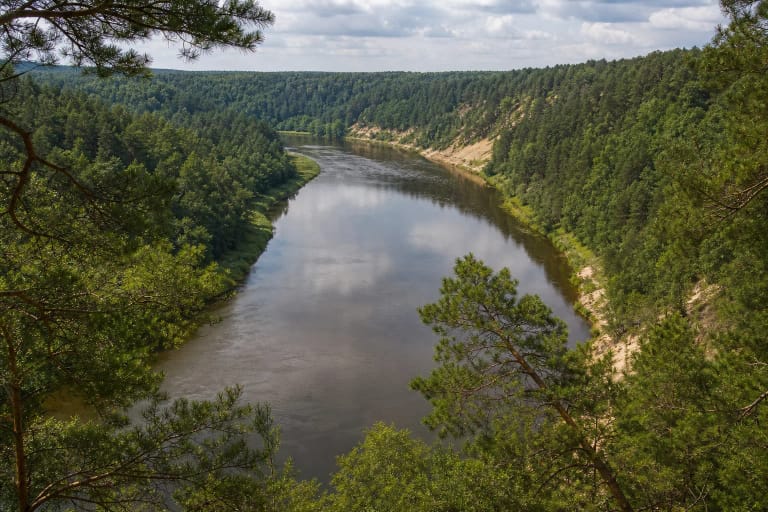
The Neris is the main landscape axis of Neris Regional Park. The protected-areas directorate says the valley between Vilnius and Kernavė narrows in places to about 0.5 km and reaches depths of 60-80 metres, while elsewhere it widens to 3-5 km. The viewpoint occupies a high slope overlooking one of the river's great bends.
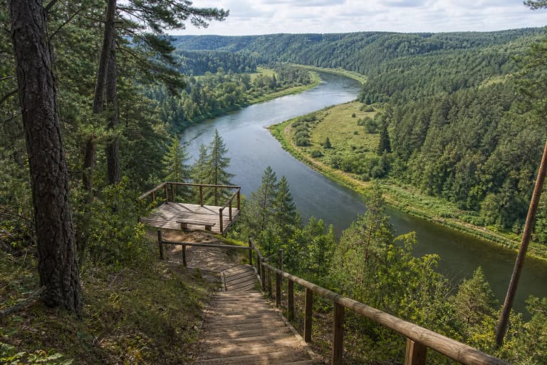
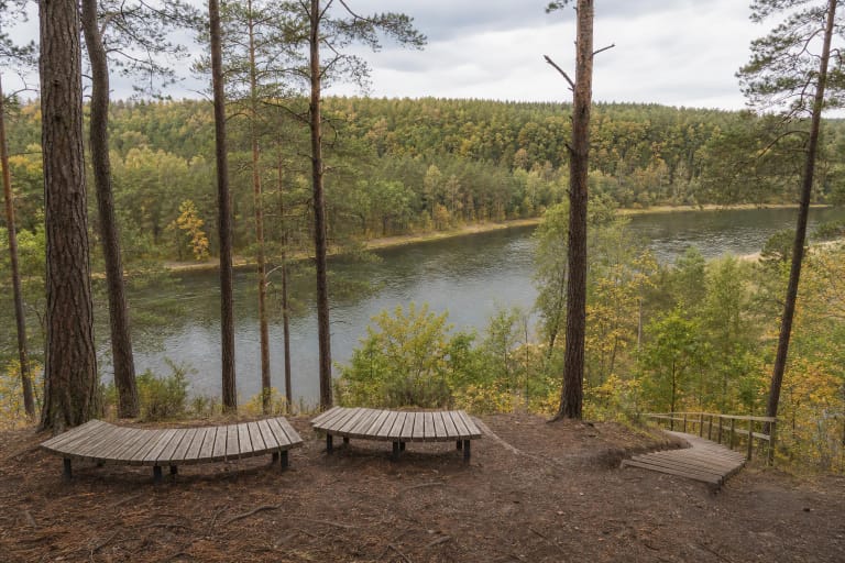
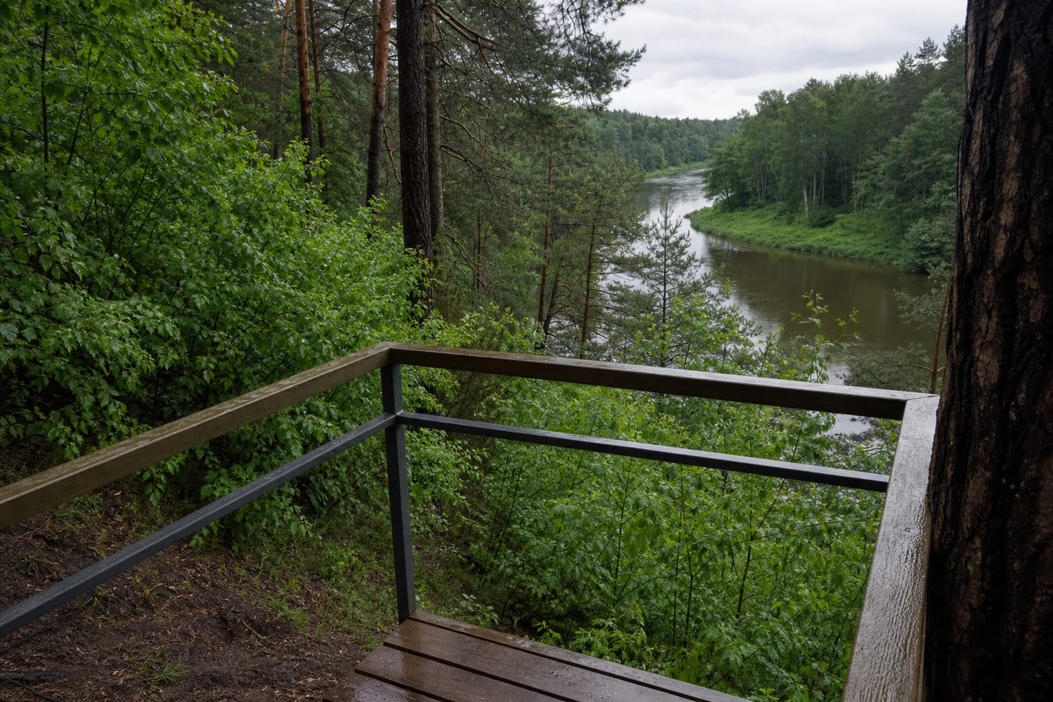
The platform is small and tucked into woodland, so this is not an entirely open panorama: the river bend and opposite bank appear between trunks and foliage. The leafless season reveals more of the channel and terraces, while summer wraps the view in greenery.
The forests and relief of the Velniakampis reserve
Saugoma.lt also uses the name Elniakampis for the Velniakampis landscape. The Elniakampis (Velniakampis) Landscape Reserve protects a section of the Neris Valley with pronounced terraces, ravines, thermokarst and aeolian landforms, natural river bends, and western-taiga forest habitats. The viewpoint is a place to see these forms from above, not a reason to descend and damage the slope.
The difficult relief helped preserve a heavily wooded landscape: the directorate reports that forest covers 87 percent of Neris Regional Park. Conifer stands with deciduous patches are visible from the viewpoint, and the seasons alter both the valley's colours and the clarity of its landforms.
A stop on the Karmazinai Nature Trail
Velniakampio Viewpoint is one of the principal stops on the official Karmazinai Nature Trail. The park describes a 7 km route taking about 2.5 hours, with the viewpoint roughly halfway around the circuit after the climb to the 60-metre Velniakampis escarpment.
This outing is more than a quick walk to a rail. The official description stresses the large number of steps, while the wider circuit also passes the Karmazinai burial-mound field, the Neris at its broadest within the park, and five rest areas. Check current park notices after storms, heavy rain, or a thaw.
A safe stop above the river
The viewpoint stands on a steep Neris Valley slope, so stay within the platform, do not climb the rails, and do not cut straight down toward the river. Wet timber, mud, leaves, and winter ice can be more dangerous than the distance to the panorama itself.
Keep children close to the platform, and after heavy rain or a thaw use only clearly safe, built places. In the Neris Valley, protecting the visitor also means protecting the slope vegetation: do not break the turf, create new paths, or leave litter.