- Place
- Molėtai District Municipality
- Region
- Aukštaitija
- Type
- viewpoint and rest area at the western end of Lake Baluošas
- Address
- Western end of Lake Baluošas, Molėtai District
- Coordinates
- 55.04800, 25.53300
- Visit duration
- 30-60 minutes for the viewpoint and a short rest; longer when combined with Lake Baluošas or Alka village routes
- Best time
- May to October in daylight for the inlet and woodland colour; autumn is especially quiet, but the natural slope is safer in daylight.
Baluošai Viewpoint, Baluošai Observation Point
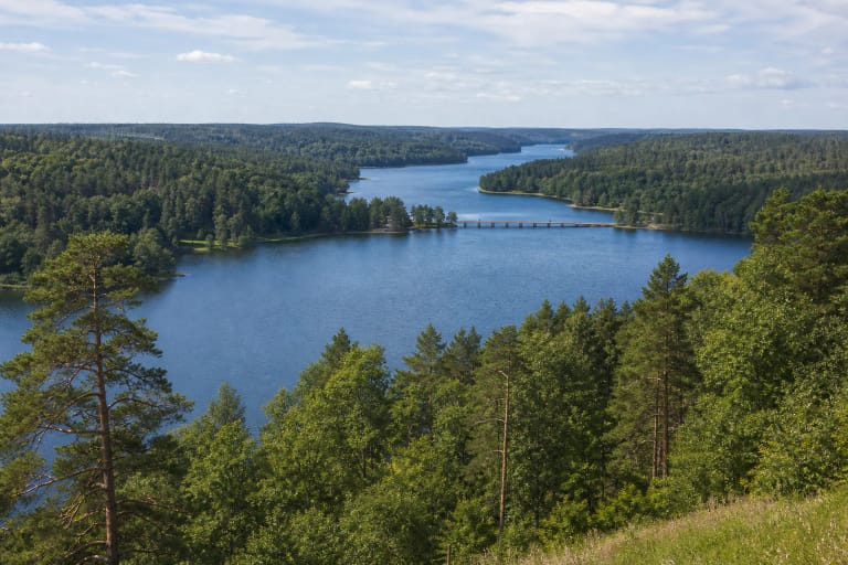
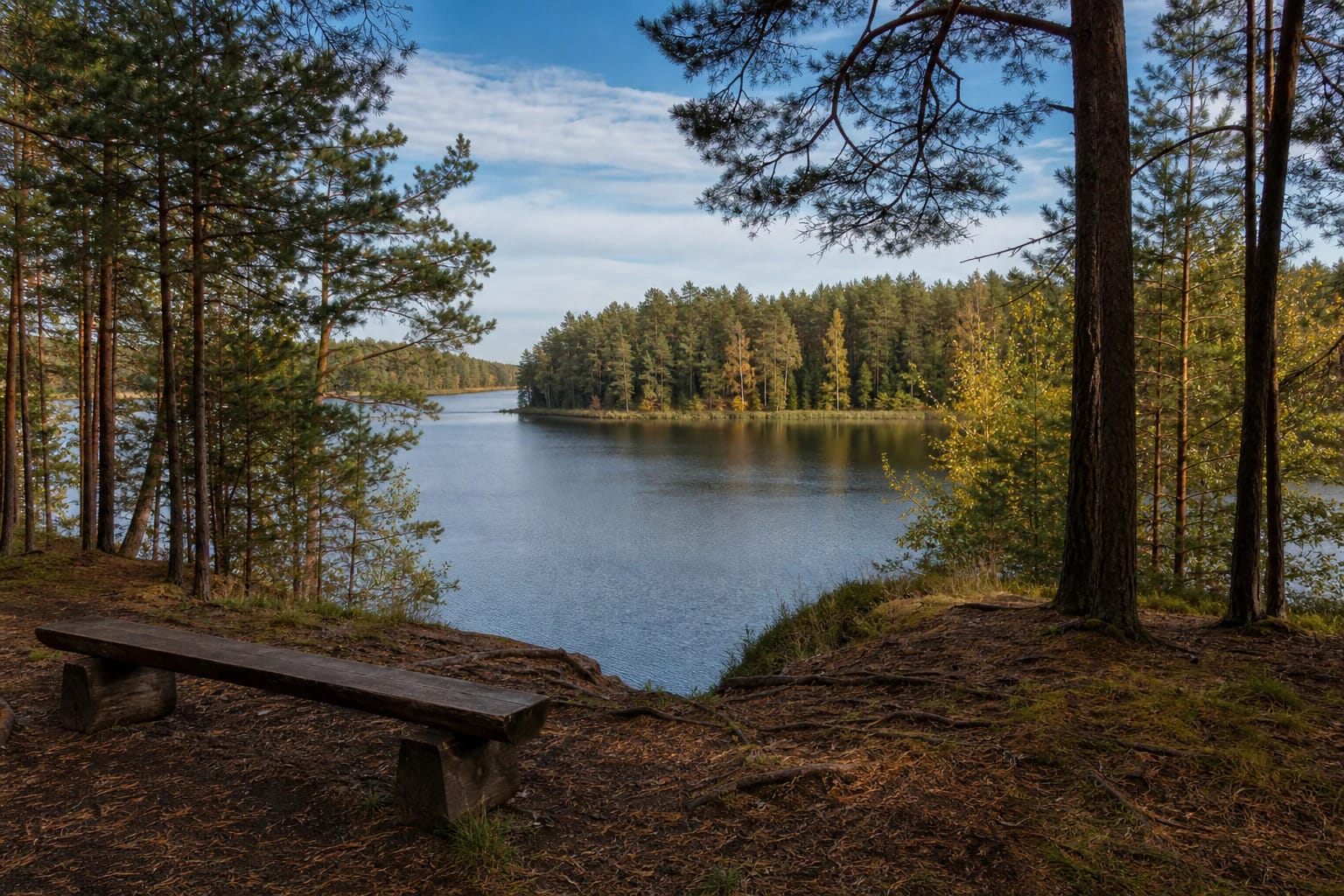
This is a specific viewpoint at the western end of Lake Baluošai
The official Saugoma.lt catalogue calls the site Baluošai Rest Area, while its description uses the name Baluošai Viewpoint. It stands beside the road to the ethnographic village of Alka at the western end of the lake; the coordinate 55.048, 25.533 marks the rest area itself in Molėtai District.
It suits a short waterside stop and landscape observation. If you want a longer hike, an island visit, or a particular historic site, choose a separate approach and do not assume that every lake feature can be reached from this rest area.
The inlet looks towards the opposite shore and Baluoša Hillfort
Saugoma.lt notes that Baluoša Hillfort lies across the inlet; the Register of Cultural Property records it under code 3197. The rest area is not the hillfort entrance - the archaeological site occupies a separate peninsula and needs a different approach.
VLE describes Lake Baluošai as a 251.6-hectare tunnel-valley lake, 4.1 kilometres long and up to 37.5 metres deep. It has five islands, and all but its western and eastern ends are mostly high and wooded; one viewpoint cannot encompass the entire landscape.
The facilities are simple but clearly described
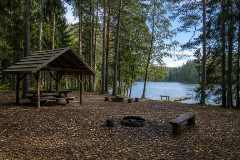
The site has a fire place, table, and benches. That is enough for a short rest and snack, but there is no toilet. Bring water, take rubbish away, and do not leave food waste at the woodland edge.
The official object information clearly says that the viewpoint is not adapted for people with mobility disabilities. The natural bank, exposed roots, woodland ground, and roadside approach may be uneven, so assess your group's needs before travelling.
The viewpoint is not the same as a campsite or Baluošas island
A rest area is intended for a short stop, but its name does not by itself confirm tent camping or overnight use. Pitch tents only at official campsites and use the fire place only when current rules allow it.
The lake's five islands and Baluoša Hillfort are separate places; this rest area does not serve as their pier or entrance. When planning the day, distinguish a short waterside rest from a route to cultural heritage or another shore.
Stay calm and responsible near the water
Do not jump into unfamiliar water from the natural shore, and do not go out alone unless you have suitable equipment and experience. Watch children continuously near the water, and assess waves and slipping risk in windy weather.
Leave cars only in lawful places near the road, do not drive onto the woodland floor, and keep noise down. The official object page publishes no opening hours or admission charge, but check current park information before travelling, especially during periods of high fire risk.