- Place
- Verkiai Eldership, Vilnius City Municipality
- Region
- Vilnius Region
- Type
- a group of six glacial tunnel-valley lakes in Verkiai Regional Park
- Address
- Green Lakes Landscape Reserve, Vilnius
- Coordinates
- 54.80000, 25.31667
- Visit duration
- 3-5 hours for several lake perspectives, a beach, or a trail; longer with Verkiai Manor
- Best time
- May to October for the water colour and woodland paths; morning or weekday for a quieter visit
Green Lakes group, Žalieji ežerai, Green Lakes landscape
The Green Lakes are a group of six water bodies
The Green Lakes lie on the northeastern edge of Vilnius in Verkiai Regional Park. They are a group of six lakes, not one water body: the largest is Lake Balsys, also known as Kryžiokai Lake, alongside Lake Gulbinas, Lake Mažasis Gulbinas, Raistelis, Akis, and Baraukos akis. This page describes the shared landscape, while Lake Balsys and the trail around it have separate pages.
The coordinate 54.79999950, 25.31666660 supplied on this page is a central point for the Green Lakes group, not a particular beach entrance or trailhead. Choose the specific lake shore or route you intend to visit.
Balsys, Gulbinas, and the smaller lakes
VLE gives Lake Balsys an area of 55 hectares and a maximum depth of 38.8 metres. Lake Gulbinas covers 36.8 hectares and Lake Mažasis Gulbinas 10.4 hectares; the two smaller lakes in one basin are connected by a narrow channel. The smaller Raistelis covers 1 hectare and reaches 7 metres, Akis covers 0.5 hectares, and Baraukos akis is smaller still.
The size difference matters for visitors: Balsys beach, the eastern viewpoint, and the popular walking loop do not represent all of the Green Lakes. Gulbinas Island with the Great Gulbinai hillfort, narrow channels, and reed-fringed edges show that the group is geographically wider than its most photographed shore.
Why the water looks green
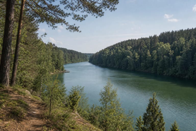
All six Green Lakes are glacial tunnel-valley lakes. About 18,000 years ago, meltwater flowing beneath the ice sheet carved their elongated basins. They belong to the Neris basin and are surrounded by Gulbinai Forest; their shores rise as much as 40 metres in places. With deep, steep, forested basins, the landscape feels wild even inside the city boundary.
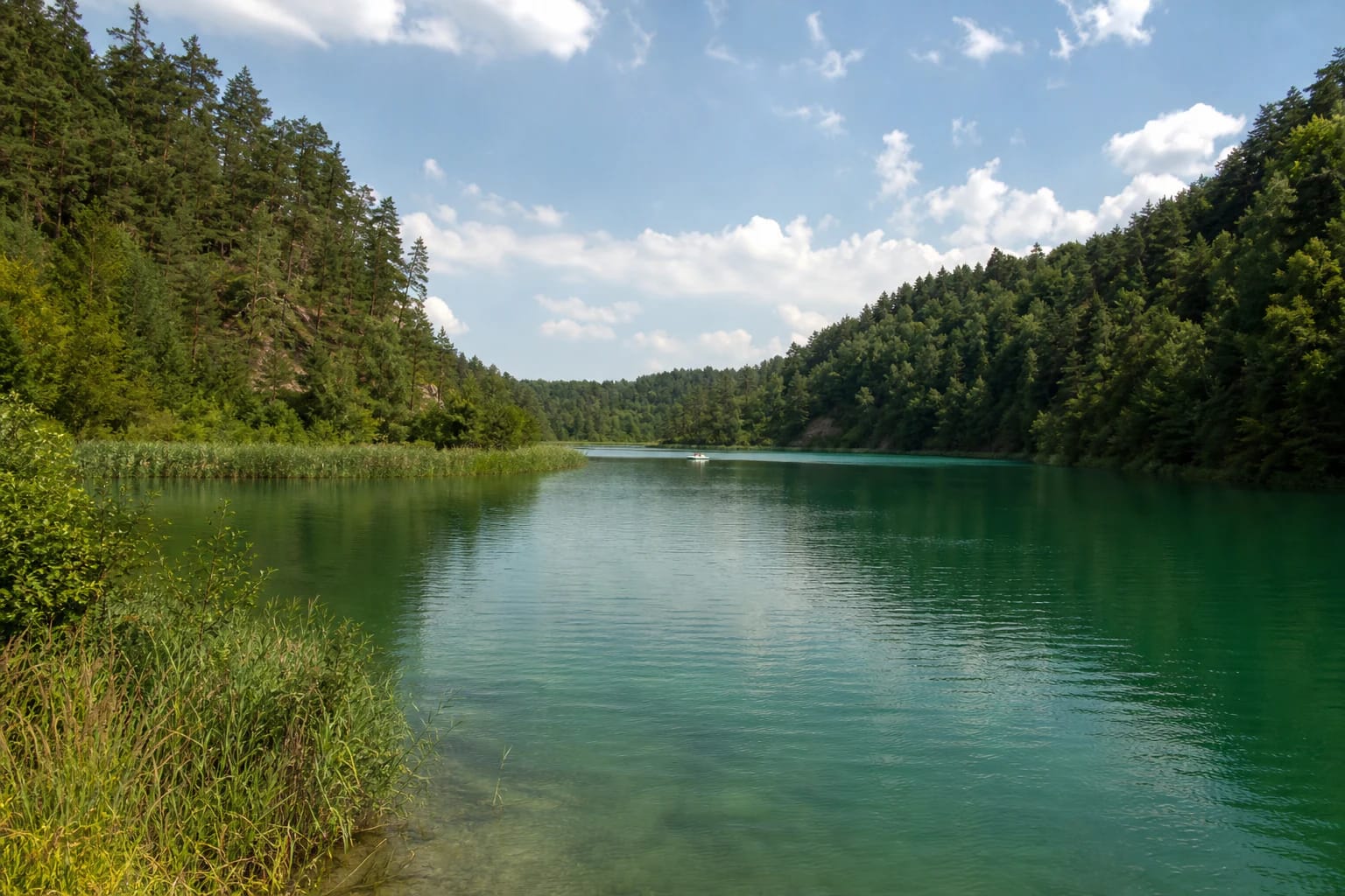
Groundwater feeding the lakes contains a large amount of dissolved carbonate, giving the water a greenish cast. This is not one uniform paint colour: sun, clouds, water clarity, algae, and the viewing angle change whether it looks emerald, blue-green, or grey.
High woodland slopes, reed beds, and narrow land bridges close the water into different fields of view. The colour of the Green Lakes is best understood by comparing the open water of Balsys with the shores and channels of the smaller lakes, not from one photograph alone.
The protected Green Lakes landscape
The Green Lakes and their surroundings form the Green Lakes Landscape Reserve, one of the most valuable complexes in Verkiai Regional Park. Saugoma.lt says the reserve protects deep lake basins, rare plant habitats, mature limewoods and spruce forests, and populations of lady's slipper orchid.
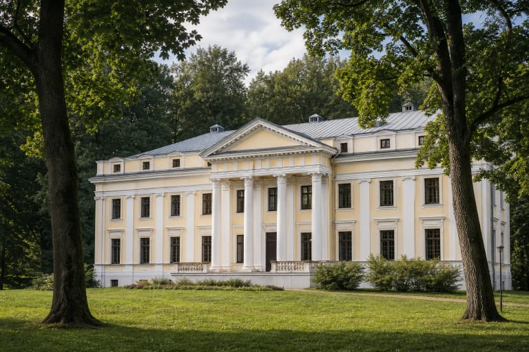
The wooded island in Lake Gulbinas holds the Great Gulbinai hillfort. This shows that the group's value is not only recreation by the water: glacial relief, woodland habitats, archaeological heritage, and urban leisure meet here. Keep away from rare plants and hillfort slopes, do not widen paths, and take rubbish with you.
Beaches, paths, and the Lake Balsys viewpoint
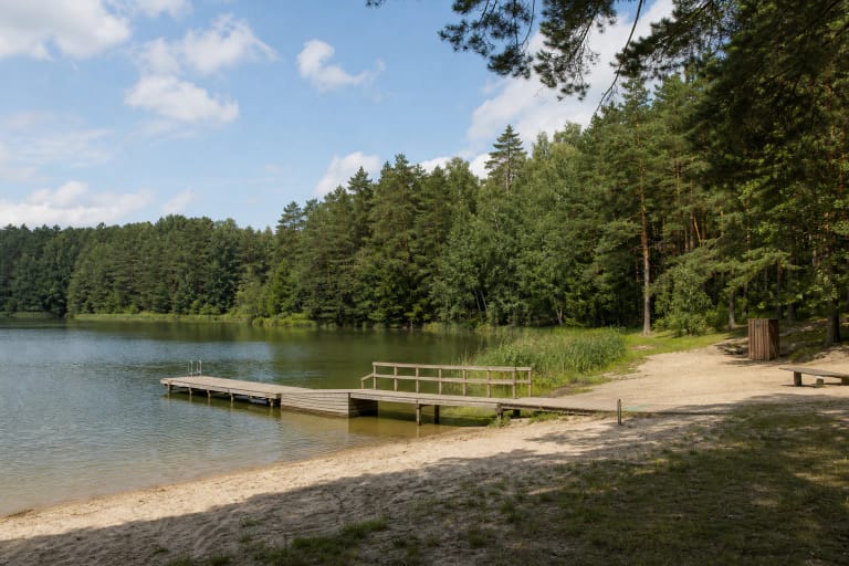
VLE describes the Green Lakes as a Vilnius recreation area with beaches, walking and cycling paths, and a viewpoint on the southeastern shore of Lake Balsys. Grinda's beach page lists Balsys bathing-area facilities, water and sand testing, and lifeguard work. That is information about the specific Balsys shore, not a promise that Gulbinas, Mažasis Gulbinas, Raistelis, or Akis have the same infrastructure.
Saugoma.lt describes a cycling route from Santariškės through Verkiai Forest and the Green Lakes Landscape Reserve to the Balsys shore. The popular roughly 10-kilometre loop around Balsys is a separate route choice, not an official circuit of all six lakes. Before setting out, assess the surface, slopes, roots, and your own pace.
For more context, begin at the Verkiai and Pavilniai Regional Parks Visitor Centre on Žaliųjų Ežerų Street, then choose a particular lakeshore. The central Green Lakes card does not tell you where free parking, beach gates, or the shortest descent to the water are located.
How to visit the six-lake group
Choose one main goal for a visit: Balsys beach and viewpoint, a woodland walk, the cycling route, or the Gulbinas and Great Gulbinai hillfort direction. That is more honest than treating one short stop as a visit to all Green Lakes. Do not drive into private yards, unmarked woodland tracks, or unstable slopes.
At a bathing area, follow same-day flags, water-quality notices, and lifeguard instructions. Beyond Balsys's main facilities, shores may be natural, steep, reed-fringed, or slippery. In winter, ice above channels and deep basins is not safe merely because the surface looks white.
Choose a morning or weekday for a quieter view, while remembering that Balsys beach and the nearest paths are popular in summer. This protected area is not decoration: stay on existing paths, do not disturb rare plants, and leave the woodland and shores as you found them.