- Place
- Pasvalys District Municipality
- Region
- Aukštaitija
- Type
- urban riverside park
- Coordinates
- 56.05834, 24.39430
- Visit duration
- 30-60 minutes
- Best time
- spring, summer, or a colourful autumn day
Svalia Park
A 4.4027-hectare green corridor
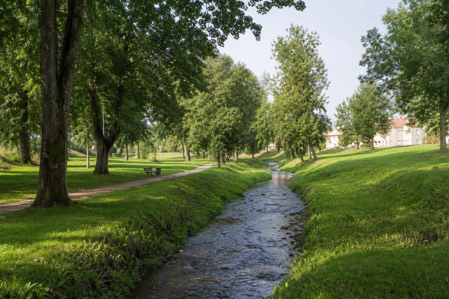
Pasvalys District Municipality's 2026 inventory assigns 4.4027 hectares to Svalia River Park. The area borders Nepriklausomybės, Svalios, Panevėžio, and Žalioji streets. This explains its form: it is a linear green corridor rather than an enclosed garden with one formal gate.
The coordinates identify a representative point, not an entrance. Several surrounding streets provide access, so begin where it is easiest to arrive on foot. The width and walking surface vary along the riverbank.
The Svalia leads to the Lėvuo
The Svalia is a 35-kilometre right-bank tributary of the Lėvuo with a 96-square-kilometre basin. It rises in Žalioji Forest, flows north across the Mūša-Nemunėlis lowland, and joins the Lėvuo in Pasvalys, four kilometres before the latter's mouth.
VLE records that almost the whole channel as far as Čižiškiai is regulated, generally 5-8 metres wide, with an average current of about 0.2 metres per second. The stream looks modest in the park, but its channel defines the green corridor and links residential Pasvalys with the confluence.
An everyday walking park, not a ceremonial square
The main attraction is not a single monument but the sequence of water, tree groups, grassy banks, and paths. Svalia River Park suits a half-hour stroll, quiet pause, or short run better than a stand-alone multi-hour sightseeing visit.
The 2012-2014 reconstruction of Žalioji Street improved access to the park and added parking, road-safety measures, and drainage. Even so, walking is the best way to experience the continuous river landscape.
Walking to the Svalia-Lėvuo confluence
With more time, follow the Svalia downstream towards the centre and continue to the confluence with the Lėvuo. The municipality has designated the confluence area beside the Bernardas Brazdžionis monument as smoke-free, so observe current signs.
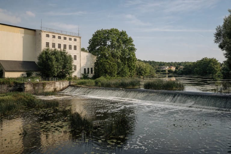
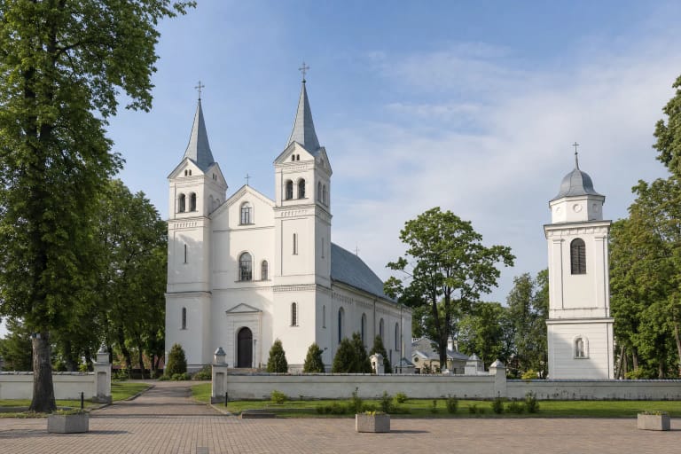
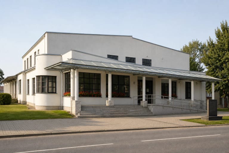
From there continue to the Church of St John the Baptist, the watermill, or Pasvalys Regional Museum. The modest park then becomes a useful connection between residential neighbourhoods, the rivers, and the historic centre.
Practical advice
The park is a free public space and is physically accessible at all times, with no separate opening schedule. Choose illuminated sections after dark. Grass banks can be slippery after rain, while water level and bank conditions change seasonally.
Keep children back from steep or wet edges, and cyclists should slow on narrow shared sections. A visit takes 30-60 minutes depending on the segment chosen and whether you continue to the confluence.