- Place
- Švenčionys District Municipality
- Region
- Vilnius Region
- Type
- historic railway bridge
- Address
- Around Santaka and Brižiai, Magūnai Eldership, Švenčionys District (the bridge has no street number)
- Coordinates
- 54.89980, 25.64279
- Visit duration
- 1-2 hours for the approach and views; longer if walking the route
- Best time
- in drier weather, viewing from the bank after assessing conditions
Old Santakos Railway Bridge
Bridge name and location
The object is called Santakos Railway Bridge. The word “old” distinguishes it from the newer railway bridge beside it, so that variant is useful when searching for the site in navigation.
The bridge lies around Santaka and Brižiai in Magūnai Eldership, at the Neris-Žeimena confluence. It has no street number, so the coordinate marks a particular point on the linear bridge rather than a nearby village centre or car park.
Three bridges in one landscape
Three separate structures need to be distinguished here. The old railway bridge is a nineteenth-century riveted steel truss. The newer parallel bridge remains in railway service on the Vilnius-Turmantas route, while a nearby suspended footbridge crosses the Žeimena and serves the station and riverside surroundings.
A photograph can easily combine the old and active bridges into one impression. Look for the old span's grey riveted trusses and separate rail alignment; the trains belong to the newer line, not to this visitor object.
The Neris and Žeimena confluence
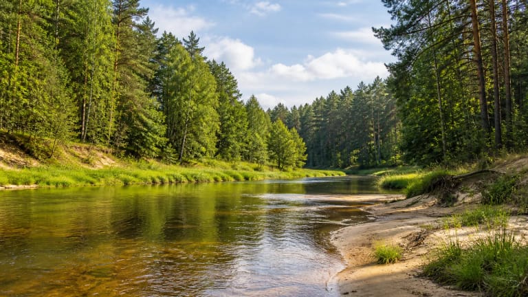
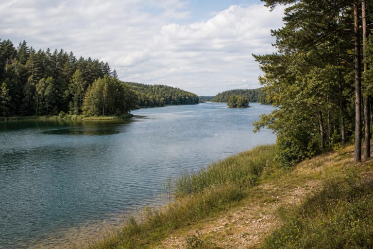
The value of the site is not only its metalwork. The Neris-Žeimena confluence and green banks show how railway infrastructure was inserted into a river valley. From the bank, the wider water-and-forest view explains why the crossing mattered for transport and makes the bridge more than an isolated engineering relic.
A route through Pailgys, Brižiai and Santaka is about 6 km, with a return through Družiliai of about 5 km. These figures are route orientation, not a guarantee of a drivable approach or a maintained path to the bridge, so check the day's conditions.
What to see from the bank
From a safe bank position, the most rewarding details are the rhythm of the trusses, their supports, the old rail alignment and reflections on the water. Several lawful viewpoints, when reachable without crossing private land or damaging vegetation, reveal the scale better than attempting to get onto the span.
The bridge has no ticket desk, admission fee or tourist opening hours. Not every approach is lawful or maintained: rails, the old deck, slopes and riverbank require care, and the structure must not be climbed or crossed.
A safer visit
Plan to experience the old bridge from the bank. Do not walk on rails, attempt the old deck, enter beneath the supports or ignore local signs and the conditions on the day. After rain, banks may be slippery, while water level and current can change quickly.
View the bridge from a safe bank position and follow the railway infrastructure operator's rules. Assess the path condition and actual approach on the day, especially after rain.