- Place
- Skirgiškės, Vilnius District Municipality
- Region
- Vilnius District
- Type
- a Neris Valley bluff and natural viewpoint
- Address
- 11 Skardzio Street, Skirgiškės, 15166 Vilnius District
- Coordinates
- 54.83680, 25.37750
- Visit duration
- 30-60 minutes; longer if you walk down towards the river or join a Neris route
- Best time
- spring and autumn, when there is less foliage; in dry weather with good visibility
Sakiškės Bluff Viewpoint, Sakiškės Lookout
What Sakiškės Bluff is
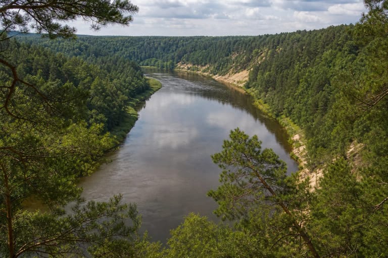
Sakiškės Bluff is a natural Neris Valley outcrop near Skirgiškės, not a lookout tower or a wide formally built viewing terrace. Visitors reach a forest clearing and bluff edge where the river and the small Šiaučiai rapid appear between the trees.
The address 11 Skardzio Street in Skirgiškės is a useful search landmark, but it does not mean that a car park or paved path reaches the bluff. The 54.8368, 25.3775 point should be read as a representative viewpoint coordinate that helps locate the viewing area, not as a centimetre-precise trail entrance.
The name describes the landform rather than a building. The experience combines a steep Neris Valley edge, sandy outcrop, pine forest, river sound, and visibility that changes with season and foliage. Come for the landscape, not only for one guaranteed photograph.
The Neris and the Šiaučiai rapid
The Neris above Vilnius has stony stretches and rapids. Sakiškės Bluff and the Šiaučiai rapid are best understood as a pair of landform elements: the bluff is the high observation point, while the rapid is the quicker river reach heard and seen below.
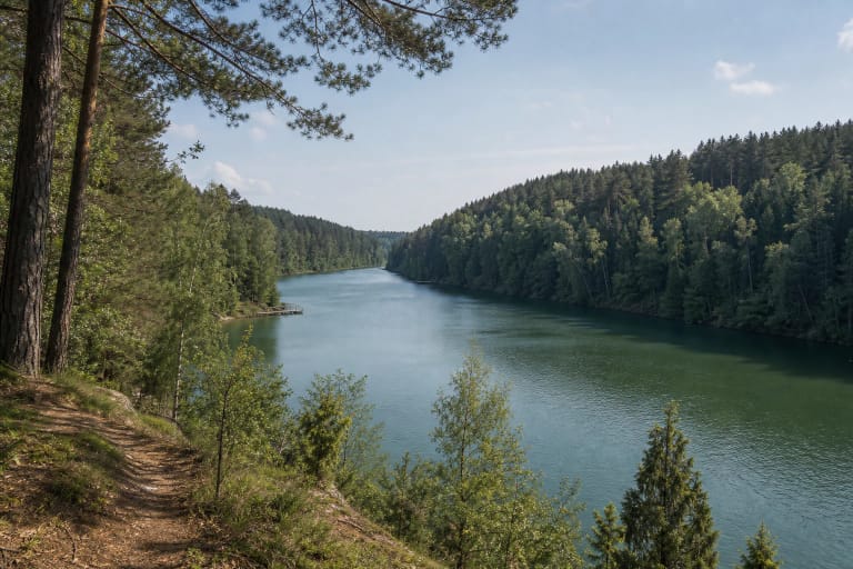
This is not a broad city panorama. The view is more intimate: the dark Neris runs below, with stones and a small fast section, while forest frames the opposite bank and river bend. In leaf season, branches may hide part of the rapid, making the sound of water as important as the open horizon.
The riverbank is not merely scenery. Current, stones, and height difference change safety conditions, especially after rain or in winter. If you go lower, use only a clearly passable place, never climb unstable edges, and do not enter the water without assessing the current.
A sandy outcrop and a living slope
The bluff exposes pale sandy material, with tree roots showing through the slope and fallen trunks in places. It is not a neatly cut geological display: rain, meltwater, river-valley processes, and the weight of vegetation continue to shape it. Its appearance can change over a few seasons.
The pine forest above the bluff gives the site a distinct Vilnius-region character. Dark trunks and green foliage contrast with the pale outcrop, and side light shows the slope best in photographs. Do not dig, collect sediment, or widen the clearing; the natural edge is part of the site's value.
The outcrop also explains why this visit differs from a level trail. Sand can crumble, wet roots are slippery, and branches under the trees are not reliable handholds. Step back from the edge, supervise children and dogs, and postpone the visit during heavy rain, ice, or a storm.
What to expect on arrival
The forest clearing may have several benches, a fire ring, picnic tables, and a small parking area. These amenities may be unmaintained or change, so do not treat them as guaranteed infrastructure. Bring water, take rubbish away, and light a fire only where it is clearly allowed.
The approach road can be potholed. Its final section may be more difficult after rain, and a vehicle must be left without blocking the road or driving onto the forest floor. If you walk from the address, wear shoes with good grip because the route to the actual edge may use natural ground.
A second outcrop farther north may have a more open view, but there is no marked route or confirmed safe access to it. Do not cross the slope looking for it. At the main viewpoint, a calm stop is enough to compare the scale of river and forest and judge conditions yourself.
A safe and responsible Neris stop
Sakiškės Bluff is valuable as a place to read the Neris Valley landscape. It is not a formal park or a continuously maintained picnic area, so plan a self-guided stop that depends on the weather.
Allow 30-60 minutes for a short visit. Spring and autumn foliage makes the outcrop shape and rapid easier to understand; summer gives shade but can hide the view. Choose dry, bright weather and never approach the edge for a photograph.
Protect the quiet of the valley as well as your own safety. Do not drive onto grass or roots, damage the slope, leave rubbish, cut new paths, or disturb other visitors. Follow prohibition signs and fresh erosion warnings, and choose a safer route when conditions are poor.