- Place
- Antakalnis Eldership, Vilnius City Municipality
- Region
- Vilnius Region
- Type
- a state-significance lake in Vilnius within the wooded Antavilis landscape
- Address
- Antaviliai, Vilnius
- Coordinates
- 54.79369, 25.40643
- Visit duration
- 30-60 minutes at a lawfully accessible shore; longer only when combined with other Antaviliai forest sites
- Best time
- a dry daylight visit from late spring to early autumn; choose a morning for quieter observation
Antavilis, Antavilių ežeras
Lake Antavilis lies in the forest landscape of north-eastern Vilnius
Lake Antavilis lies in Antaviliai, in Antakalnis Eldership and Vilnius City Municipality. The page coordinate 54.79369, 25.406434 marks a representative water-body point, not one developed entrance to the entire shore. Use it with the locality name in navigation and check that the chosen approach follows a public road.
The state water-body register lists Lake Antavilis as a water body of state significance. The referenced water-body information gives an area of 17 hectares and a shoreline of about 2.7 kilometres. It is a compact lake, but the shore is not one uniform recreation ground: woodland, natural surfaces, and private-property boundaries matter in different places.
Vilnius environmental information lists Antavilis among the city's best-known lakes. Its setting belongs to the wider Antaviliai forest landscape, where water bodies and pine woods form a mosaic rather than one enclosed park with shared visitor facilities.
The shore feels like a forest lake, not a developed city beach
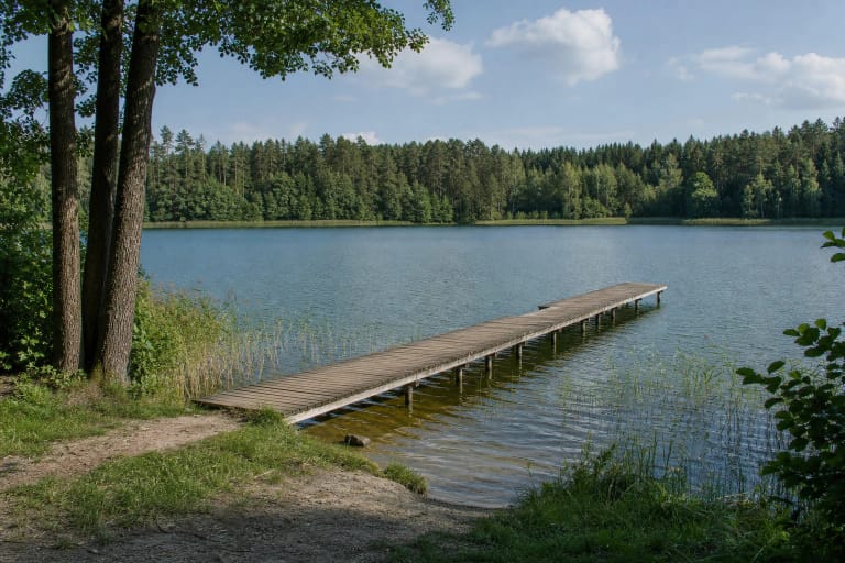
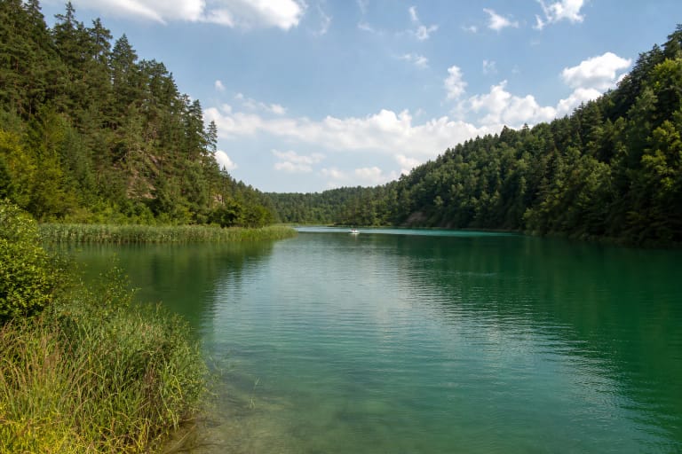
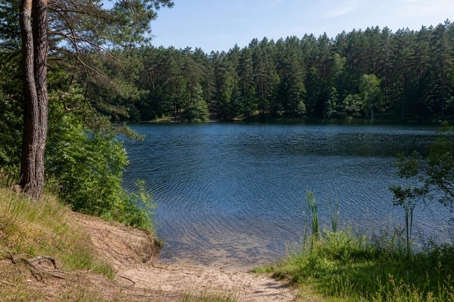
Lake Antavilis is characterised by calm dark-blue water, a gently sloping sandy bank, grasses, and dense pine woodland on the opposite shore. This landscape explains the place's character: the attraction is the relationship between water and forest, not a guaranteed set of piers, changing cabins, or lifeguards.
A shoreline visible in a photograph does not prove that the whole lake can be circled by one path. The official sources used for this page do not confirm a continuous public trail, so do not cross reed beds, private land, or take a direct line between separate access points.
If you arrive by car, use only a lawful stopping place and keep forest roads clear. The public sources checked do not confirm a separate Lake Antavilis car park, toilet, or permanently maintained beach. Do not treat those services as automatic.
The 2025 monitoring report shows seasonal variation
In 2025, Vilnius City Municipality sampled Lake Antavilis in every season and separately tested bottom sediments in autumn. For total nitrogen, winter and spring samples indicated very good condition, the summer sample good condition, and the autumn sample very poor condition.
For total phosphorus, the 2025 condition in the tested lakes was very good, and no oil film was observed on the water surface when samples were taken. These are findings from particular samples and methods, not a promise that the water is always suitable for swimming or drinking.
Water monitoring and an official bathing area are different things. Check the latest information from the responsible authorities and signs on site before entering the water. Do not call Lake Antavilis an official city bathing beach simply because people may gather beside it in summer.
The Antaviliai forests give the lake a wider landscape context
The Encyclopaedia of Lithuania describes the Lavoriškės-Nemenčinė Forests as a large forest massif containing the lakes Antavilis, Balžis, Juodis, and Tapeliai. Lake Antavilis is therefore one of the water features of a lake-rich post-glacial landscape, not an isolated piece of water on the city edge.
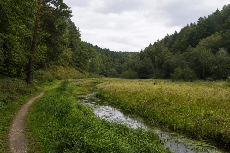
Here, look not only at the water colour but also at bank height, pine-forest structure, wetter hollows, and the setting of small watercourses around the lake. The checked sources do not, however, confirm a dedicated nature trail or numbered interpretation stops at this particular lake.
The name Antaviliai is also used for the nearby locality. Forms of the locality and lake names vary between sources, so both Lake Antavilis and Antaviliai are useful search terms. This helps distinguish the main lake from Lake Small Antavilis and from other similar place names.
How to visit a natural shore without damaging it
Reach the water only on existing public paths and follow signs on site. Do not enter private plots, cut into the sandy bank, cross reed beds, or approach from unstable slopes. A natural shore quickly loses its form when visitors repeatedly create new informal tracks.
Leave the car in a lawful place and take all litter away. A fire or tent belongs only where signs and protected-area rules clearly allow it. This guide does not confirm that any Lake Antavilis shore is a campsite.
Keep children close to the water, especially where the bank is steep or the bottom is unknown. There is no reason to jump from a natural bank or swim far from shore. Sand, roots, and wet leaves can be slippery after rain, so reliable footwear matters more than the short distance.
Plan a short, self-contained stop
Allow 30-60 minutes at a lawfully accessible shore to observe the water, forest line, and bank vegetation, then leave the place as you found it. Plan a longer walk only after checking where public and safe movement is permitted.
A dry morning or late spring often makes it easier to read the bank relief and woodland structure. Summer brings fuller greenery, while autumn adds colour but makes natural surfaces more slippery.
Before travelling, check the weather, current city notices, and access signs. The coordinate is an orientation point for the water body, not a promise of an open gate, car park, or step-free path.