- Place
- Antakalnis, Vilnius City Municipality
- Region
- Vilnius
- Type
- 5.25 km hilly trail through the Sapieginė and Šveicarija erosion-ravine systems
- Address
- Žolyno g. 35 prieigos, Vilnius
- Coordinates
- 54.70787, 25.33006
- Visit duration
- 1.5-2.5 hours depending on pace, surface and route choices
- Best time
- a dry spring or autumn morning, when the landforms are clearest through lighter foliage
Sapieginė Trail, Sapieginė Nature Trail
A 5.25 km route that constantly changes height
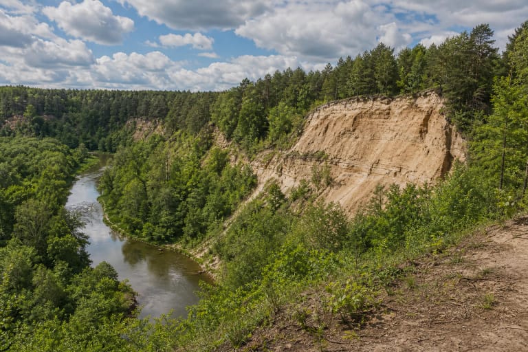
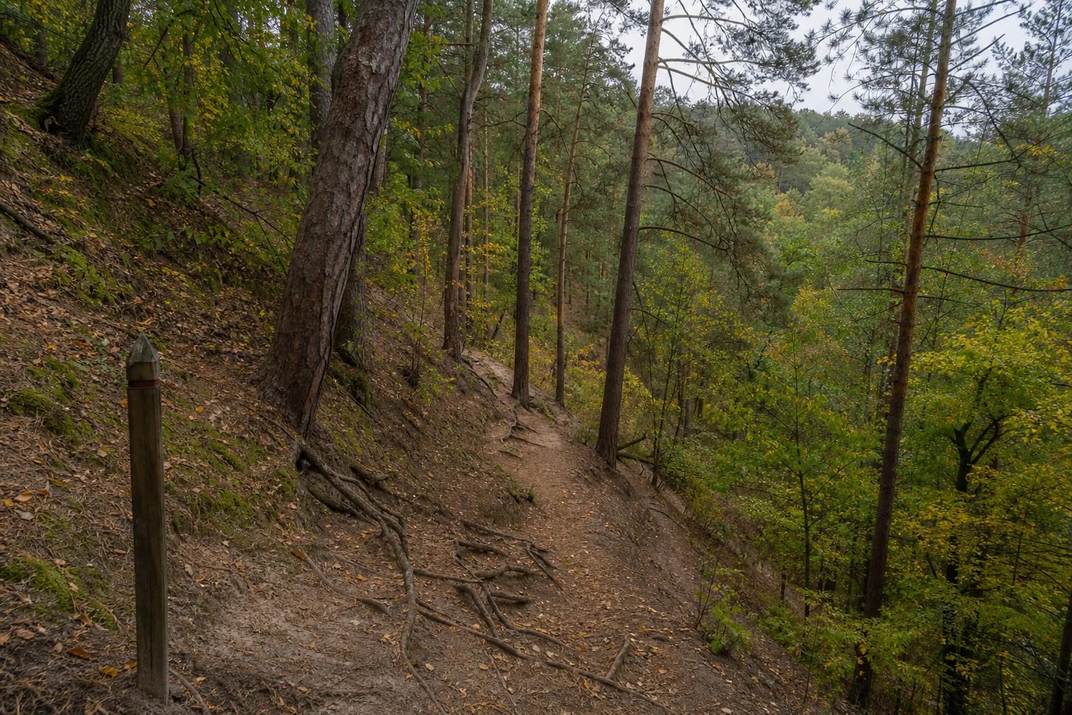
The park authority gives an official length of 5.25 km. The route crosses Antakalnis woodland and introduces the Sapieginė and Šveicarija erosion-ravine landscape. The marker near Žolyno Street is a useful representative start, but several entrances and local paths intersect the route.
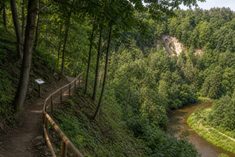
This is not one uniformly broad gravel track. It climbs ridges, drops to gully floors and joins other paths. A downloaded map is useful because following the busiest line instinctively can produce a shorter or longer outing.
Vilnius relief carved by meltwater and runoff
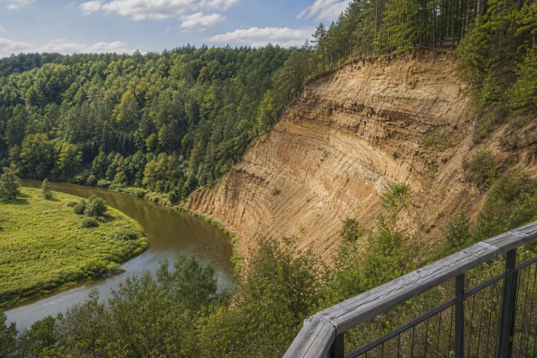
Pavilniai Regional Park protects pronounced erosion fans, ravine systems and Vilnia valley slopes. Sapieginė is best understood in motion: a narrow ridge may quickly give way to a deep, damper gully before the trail climbs again.
The slopes were not built as a sports course. Water created them and rain, roots and heavy use continue to reshape them. Do not cut directly down switchbacks, which strips the surface and increases erosion and slipping risk.
Surface, effort and seasons
In dry weather the route suits a regular walker, but repeated climbs make it more demanding than a level 5 km urban path. Clay, wet leaves and winter ice can make descents slippery, so footwear with grip matters.
With children, choose a shorter loop in advance. Only some broad forest roads suit robust pushchairs; the full route is not step-free. Cyclists may appear, and everyone should slow down on narrow descents.
Visiting without getting lost or damaging the forest
Mark your entrance before setting out and decide whether you intend to complete the full route. The path network is dense, and a charged phone plus saved map are more useful than assuming mobile coverage will solve every turn.
The trail is free and has no gate or fixed hours. Dogs must be controlled under city rules. After high winds, postpone the hike until fallen branches and unstable trees have been assessed.