- Place
- Rasos Eldership, Vilnius City Municipality
- Region
- Pavilniai Regional Park
- Type
- a 6 km circular walking route through Ribiškės Landscape Reserve
- Address
- Minsk Highway near Liepkalnis, Vilnius, Rasos Eldership
- Coordinates
- 54.66000, 25.32200
- Visit duration
- about 3-4 hours for the 6 km loop with climbs and stops
- Best time
- a dry day from late spring to autumn; grassy slopes and woodland paths can be slippery after rain
Ribiškių pažintinis takas, Ribiškės Trails, Ribiškės Landscape Reserve near Liepkalnis
The reserve and the trailhead
Ribiškės Landscape Reserve lies in southeastern Vilnius, in Rasos Eldership and Pavilniai Regional Park. Saugoma.lt gives its centre as 54.660, 25.322. This is a landmark for a large protected area, not a promise that a car can stop beside the first trail board.
The Pavilniai and Verkiai Regional Parks Directorate says that the 6 km walking route begins beside the Minsk Highway near Liepkalnis. A Vilnius Municipality walk notice from 2026 likewise described the route as circular and linked the meeting point to the Ribiškės trail map. Save the directorate's current map before travelling because the reserve name covers more than one path or approach point on digital maps.
Public transport can reach the start beside the Minsk Highway. The municipality's 2026 notice listed buses 16, 61, and 122 and the Kinologijos centras stop, but timetables and stops can change. Walk beside the busy road only where the current signs and safe pedestrian route allow.
Erosion fans and ravines shape the Ribiškės relief
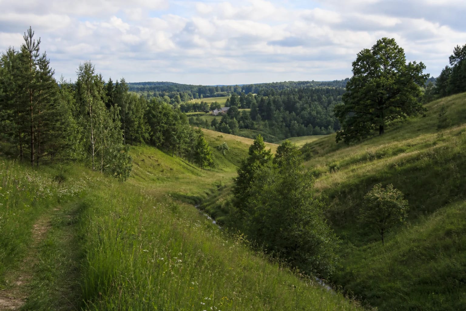
Saugoma.lt identifies the protection of large erosion fans, pronounced relief, wooded ridges, and the mosaic of farmland and homesteads in the bottoms of ravines as the reserve's purpose. Ribiškės is therefore more than woodland: enclosed hollows, open meadows, hill crests, and lived-in landscape change repeatedly along the walk.
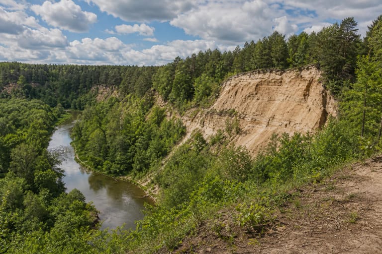
The Pavilniai Regional Park guide explains this relief through erosion hill country of thermokarst origin. These hills are not a uniform glacial wall; valleys, ravines, and ridges cut them into a complex form, with views over lower hollows and towards Vilnius. Watch the water-shaped slopes beneath your feet as well as the horizon.
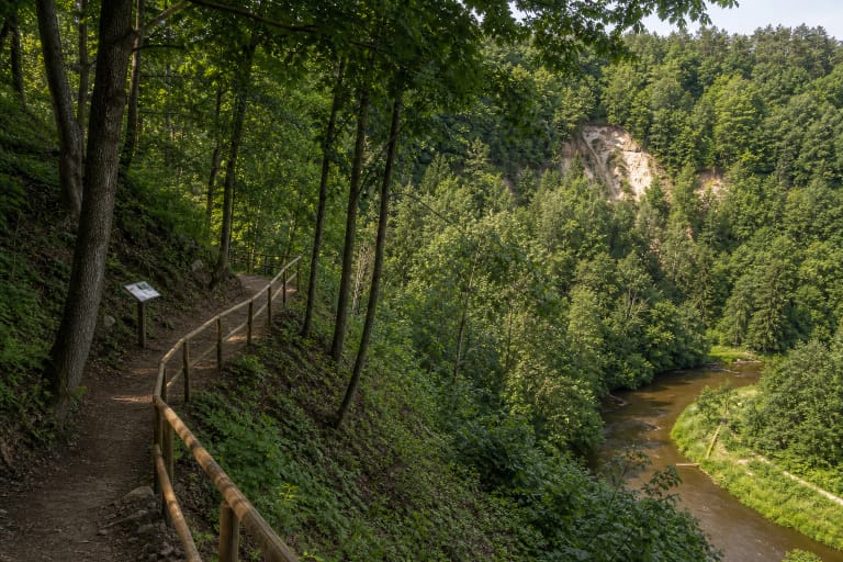
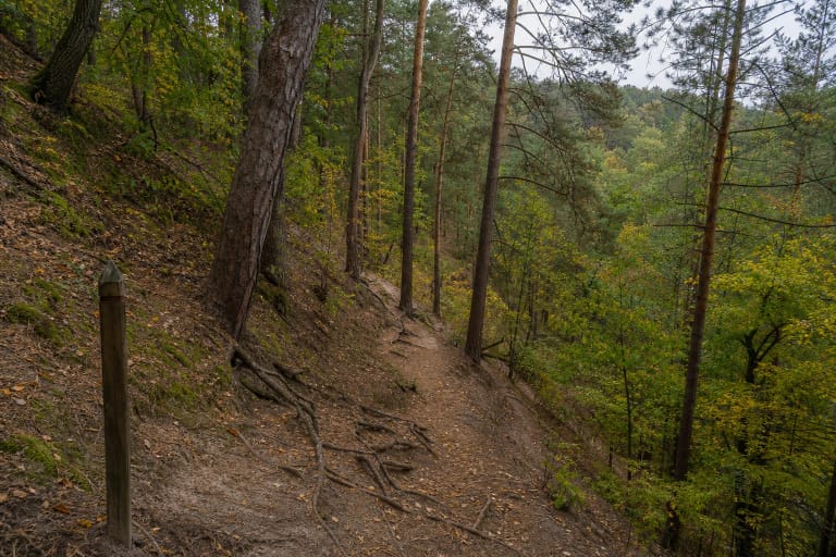
The terrain is also the route's main physical challenge. The official trail description warns of repeated climbs and descents, winding paths, and the surroundings of small streams. After rain, grassy slopes, leaves, roots, and soft ground can become slippery.
A 6 km loop through woods, meadows, and the Kaukysa Valley
The current directorate page presents a 6 km walking route, while a 2026 municipal event notice confirms it as a circular route taking about four hours with a guide and stops. This is not a speed-walking target: allow time for photographs, interpretation boards, climbs, and viewpoints.
The trail brings together pine woodland, deciduous trees, open meadows, scattered homesteads, and small streams. The Kaukysa flows through the main valley of the Ribiškės hill country; its winding channel and pale sandy bed are easiest to notice in open sections. Saugoma.lt also names Kaukysa as a reserve feature recalling Baltic mythology.
Higher open sections look across the Ribiškės hills and towards Vilnius. Older trail descriptions also mention a shorter green-marked option, but the current directorate page and the municipality's 2026 notice foreground the 6 km route. Choose a shorter loop only when current signs or the local map show that it is maintained.
Meadows, oakwood fragments, and a living urban landscape
The reserve protects botanically valuable fragments of mature oakwood and spring-fed meadows with rare plants. An open meadow is not an empty unmanaged space here: its mosaic with shrub belts, woodland, and homesteads is part of the protected landscape. Do not leave the trail to collect plants, and never pick them.
In 2021, Vilnius Municipality described seasonal management in which sheep and goats temporarily grazed about two hectares and browsed young shrub growth. That was a measure for a particular period, not a permanent visitor attraction. If grazing animals or an enclosure appear again, do not feed the animals or open gates.
Ribiškės is valuable precisely because it survives at the urban edge. Beside the Minsk Highway and lived-in areas, the hills let one walk through woodland habitat, traces of agrarian history, and a valley shaped by natural water. Keep dogs under control, do not damage slopes, and do not enter the stream bed.
How to plan a safe walk
Ribiškės is an outdoor route without a separate ticket desk or officially published visitor hours. That does not mean every section is always easy: storms can leave fallen branches, spring can make meadows wet, and winter can make slopes icy. Check park notices before setting out and choose daylight.
The repeated climbs and descents, natural ground, and stream surroundings mean that the route should not be described as wheelchair- or pushchair-accessible. Sturdy shoes, water, a charged phone, and enough time matter more than the modest distance on a map. Leave a car only in a lawful place, never on a meadow or the trail.
Protect the reserve by staying on established paths, not cutting new lines across slopes, keeping noise down near homes, and taking rubbish away. Kaukysa, spring-fed meadows, and old trees are part of the landscape rather than a disposable picnic backdrop.