- Place
- Plungė District Municipality
- Region
- Samogitia
- Type
- protected lake panorama viewpoint
- Address
- eastern shore of Platelių Lake, Paplatelė eldership, Plungė District
- Coordinates
- 56.04375, 21.88466
- Visit duration
- 20–45 minutes; longer if you want to watch the lake quietly or include it in the cycling route
- Best time
- a clear day, when the Platelių Lake islands and wooded western shore are easiest to distinguish
Paplatelė Lake panorama
An eastern-shore panorama of Platelių Lake
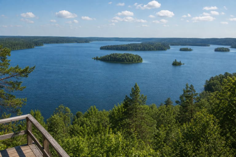
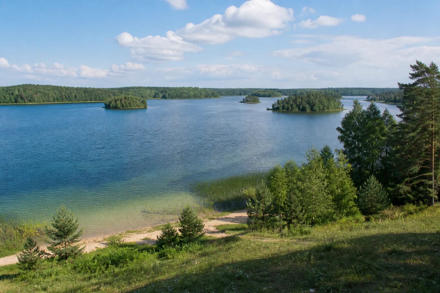
Platelių Lake Eastern-Shore Viewpoint is a specific stop on the Paplatelė side. It looks over the water towards the islands and wooded western shore, so the landscape itself is the attraction rather than a building or museum display.
Maps may display the place as Paplatelė Lake panorama. When navigating, look for the eastern-shore point: the main Platelių viewpoint and Paplatelė Trail are different places.
What to look for from this shore
The viewpoint gives a sense of Platelių Lake’s scale from the east: blue water fills the middle distance, the wooded western shore holds the horizon, and islands divide the water into separate visual layers. Shallow water and a natural shore strip close to the viewpoint add to the character of a Samogitian lake landscape.
The view changes with weather, season and foliage. On a clear day the islands and far shore stand out most clearly, while morning or evening light brings out patterns on the water. This is a panorama to take in from several natural stopping places rather than rush through.
A stop on the Žemaitija National Park route
The Žemaitija National Park cycling route around Platelių Lake is about 24 km and takes roughly four to five hours from the Plateliai visitor centre. The eastern-shore panorama is one stop on that wider loop, so it can be visited as a short outing or as part of a full day in the park.
The nearby Paplatelė Educational Trail is a separate approximately 2.3 km forest route. Its bends, surfaces and rest features belong to that route; plan the approach using the signs and current park information for each object.
Coordinates and distinct identity
Map services may round the location to about 56.044, 21.885; the more precise point is 56.043748, 21.884657. The viewpoint pin marks the panorama on the eastern shore, not the centre of Plateliai or another observation structure.
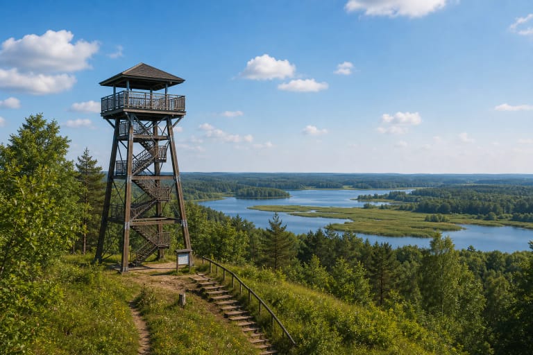
This point is separate from the main Platelių Lake viewpoint near the town, Siberija Tower and Paplatelė Trail. Keeping those identities separate matters in navigation because similar names can lead to different approaches and different experiences.
A short visit to Platelių Lake’s eastern shore
This is an outdoor site in a protected area, so it has no museum-style ticket desk or continuously staffed timetable. Check the current Žemaitija National Park signs, road and trail conditions before travelling, and follow the marked approaches once there.
Ask locally where to park safely and whether toilets or a step-free approach are available on your route. Grass and natural shore surfaces can be slippery after rain; protect the vegetation, avoid sensitive slopes and leave no litter.