- Place
- Ignalina Eldership, Ignalina District Municipality
- Region
- Aukštaitija National Park
- Type
- Falling contact spring on a wooded hill slope
- Address
- Vaišniūnai village, left side of the Vaišniūnai-Ginučiai road, Ignalina District
- Coordinates
- 55.38414, 26.07023
- Visit duration
- 15-30 minutes
- Best time
- spring for the flowering slope; a hot day for the cool woodland shade
Medžiotkalnis Spring
Medžiukalnis Spring lies between Lakes Baltys and Dringis
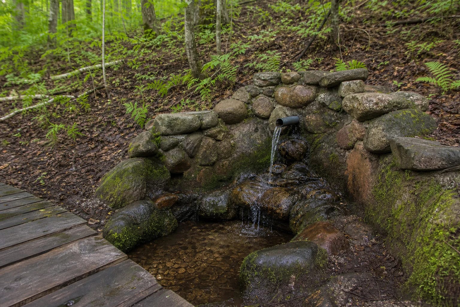
Medžiukalnis Spring rises near Vaišniūnai in Aukštaitija National Park, on the left side of the Vaišniūnai-Ginučiai road when travelling from Vaišniūnai. The Geological Survey of Lithuania describes it as a falling contact spring that operates continuously, with a small flow, in mixed woodland on a fluvioglacial hill slope between Lakes Baltys and Dringis.
The official park map point at 55.384139, 26.070227 marks the spring itself. The road is only an orientation point: the final approach follows a path into the forest, so the coordinate is not the address of a separate car park or gate.
The source emerges near the hilltop
Aukštaitija National Park sources place the Medžiukalnis source at about 160 m above sea level, while the water level of nearby Lake Dringis is about 138.5 m. The water therefore emerges high on the slope and continues north or north-west.
The Geological Survey gives a flow of about 0.1 litres per second. This is a small but continuously operating spring: the interest lies not in a large waterfall, but in the clear flow, the stone-reinforced slope, and the damp woodland microrelief.
What can be said about the spring water
In its 2012 profile, the Geological Survey describes the water as fresh, cold, odourless, low in mineral content, and calcium-magnesium hydrocarbonate water. That analysis recorded a temperature of 9.3 °C, about 319 mg/l of dissolved minerals, and a mildly alkaline reaction. These are results from a specific survey date, not a permanent guarantee about every day's water quality.
The park authority invites visitors to refresh themselves at the spring, but the page does not provide a current drinking-water compliance test. If you collect water, use a clean container, do not touch the spout with your mouth, and do not treat clarity as proof of safety.
A maintained approach leads from the road
The spring slope is paved with field stones, the collection point is a stone-clad concrete ring, and a wooden path leads from the road. A gazebo, table, and benches are listed nearby, making a short stop a quiet rest in the woodland shade.
The Geological Survey profile describes the wooden path as adapted for people with disabilities, but this is not a current audit of every surface or the entire approach. Check weather, footwear, and personal needs before travelling: wet stones, wood, and the slope can be slippery.
Local story and responsible visiting
Local people have known the spring for a long time. The Aukštaitija National Park account says that one glass was believed to be enough to prevent thirst and hunger for the whole day. That is local folklore, not a medical or water-safety conclusion.
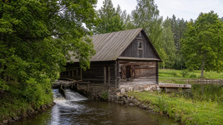
Do not move the stones, enter the collection basin, wash dishes with soap, or leave rubbish. Take care on wet ground or frost, and do not stand beneath trees during a storm. The spring fits naturally into the park's A1 driving route with stops at Trainiškis, Vaišniūnai, and Gaveikėnai Water Mill.