- Place
- Pivašiūnai Eldership, Alytus District Municipality
- Region
- Dzūkija
- Type
- lake near Pivašiūnai beside the Pivašiūnai geomorphological reserve
- Address
- Lake Ilgis, Pivašiūnai, Alytus District
- Coordinates
- 54.46649, 24.38587
- Visit duration
- 2-4 hours for the lake, Pivašiūnai shore area, and village sites; 45-90 minutes for a short stop
- Best time
- late spring, summer, or early autumn; check seasonal bathing-water notices before swimming
Ilgis Lake, Lake Ilgis near Pivašiūnai, Ilgis Pivašiūnai
Lake Ilgis is near Pivašiūnai
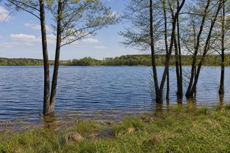
Lake Ilgis lies in Pivašiūnai Eldership, Alytus District Municipality, about 1 kilometre east of Pivašiūnai. The map point on this page leads to the officially monitored bathing site on the village side, making it a practical arrival point by the water.
The name Ilgis occurs in more than one Lithuanian location. Add Pivašiūnai or Alytus District when searching. This page concerns the 75.3-hectare lake near Pivašiūnai, not another Lake Ilgis near Grūtas, Lazdijai, or a different river basin.
The coordinate 54.466493, 24.385871 was converted to GPS format from the Lake Ilgis bathing-site coordinates published in Alytus District Municipality's monitoring data. It marks the visitor area by Ežero Street, not the geometric centre of the lake.
Broad in the northwest, long in the southeast
Lake Ilgis runs from northwest to southeast for about 2.4 kilometres. Its maximum width is 0.7 kilometres, its surface elevation is 144 metres, and its catchment covers about 5.3 square kilometres.
The northwestern part is broad and connected with a basin formed by a buried block of glacial ice. The southeastern part is narrow and long, with a glacial-trough origin. These two forms explain why the view from the Pivašiūnai recreation area cannot represent the whole lake landscape.
The maximum depth is 8 metres, the average depth is about 2.8 metres, and the winding shoreline is about 6 kilometres long. The shores are low and locally wet, so walking around the whole lake is different from using the paths near the beach.
A geomorphological reserve lies by the lake
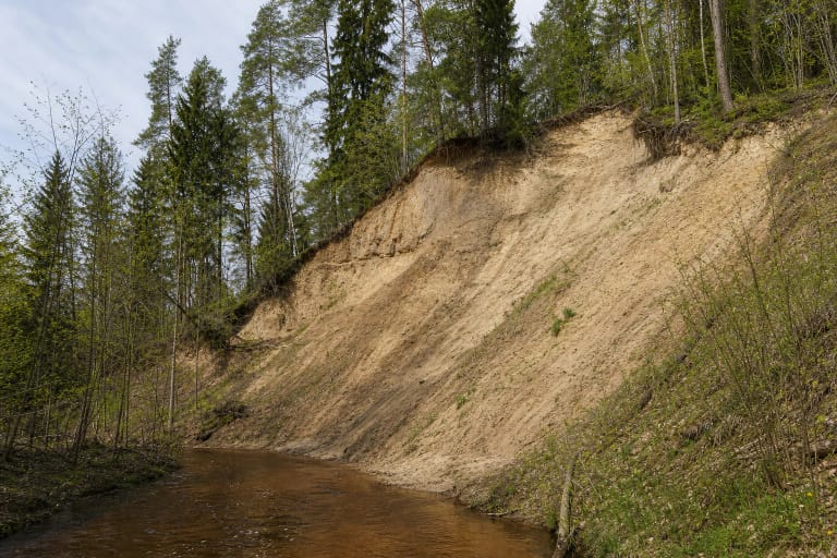
The Encyclopaedia of Lithuania identifies the Pivašiūnai geomorphological reserve beside Lake Ilgis. This makes the lake part of a glacial-relief landscape, not only a place for summer bathing.
Follow protected-area rules in the reserve surroundings. Do not drive across meadows or woodland, pick plants, or disturb slopes and shore ground. Even where there is no information board, the natural setting is not an open place for new infrastructure or discarded rubbish.
The Pivašiūnai area also includes the stories of Skrynia Hill and Muzika Hill. Their origins belong to local legend rather than a geological explanation, but they show how the lake is woven into the settlement's cultural landscape.
The Anykštė carries water away
The Anykštė flows out of Lake Ilgis towards Lake Anykštis in Trakai District Municipality. The lake belongs to the Merkys basin, linking it to the wider river and lake system of southern Lithuania.
Official water-body documents identify Lake Ilgis by water-body code 11030125 and inventory number 56-40. The state-significance water-body list gives an area of 75.3 hectares, consistent with the Encyclopaedia of Lithuania.
The lake's throughflow is 64 percent. For visitors, this means that rubbish or pollutants left on the shore can affect more than one bathing place. Treat the water and its connected streams as a shared system.
Pivašiūnai shore recreation area
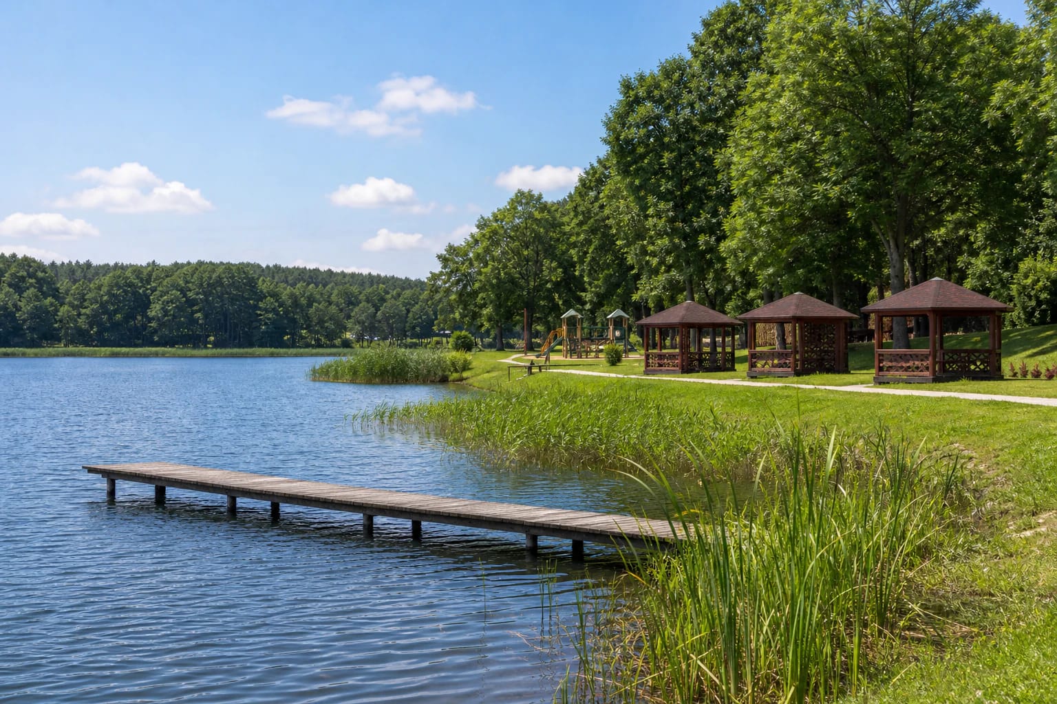
The Alytus Tourism Information Centre identifies the Pivašiūnai shore recreation area on Ežero Street. It has paths, lighting, a sports area, a pier, changing cabins, shelters, parking, and a Lake Ilgis viewpoint.
This is a convenient place for swimming, a short walk, and family time, but its facilities should not be attributed to all six kilometres of shoreline. Beyond the recreation area there may be no firm surface, lighting, changing place, or safe access to the water.
During the bathing season, check the latest water-quality notices. A pier and beach make access easier, but you still need to assess weather, waves, the bottom, children's safety, and the conditions on the day.
What to see and how to visit Lake Ilgis
Pivašiūnai deserves a separate stop. The wooden Church of the Assumption of the Blessed Virgin Mary stands in the settlement, while the Pivašiūnai hillfort and older memorial places add cultural and pilgrimage context to time by the lake.
Allow 45 minutes for a short stop at the recreation area, or several hours if you combine the beach, viewpoint, village, and a short walk by the water. Do not promise a single continuous tourist trail around the lake.
Late spring, summer, and early autumn are comfortable for walking and using the recreation area. After rain, natural low shores may be wet, and marshy ground is not suitable for an improvised circuit or car approach.
Park in the designated Ežero Street recreation area, do not drive onto meadows or into woodland, light fires only in a proper place, and take rubbish with you. Keep dogs from disturbing wildlife and other visitors. On the water, follow local signs, watch children near the pier, and do not jump into unfamiliar water.