- Place
- Klaipėda District Municipality
- Region
- Western Lithuania
- Type
- a two-level hilly walking-route system
- Address
- Lapiai, Klaipėda District (route-start orientation point)
- Coordinates
- 55.76749, 21.45892
- Visit duration
- about 4 hours for one route; the blue route is 6.8 km, while the red route is 4.5 km and much harder
- Best time
- a dry daylight outing from late spring to autumn; slopes, roots, and ravines become slippery after rain
Kalnų Takai walking route, KALNŲ TAKAIS walking route, Kalnų Takai in Lapiai
Kalnų Takai is a Lapiai route system, not one short path
Kalnų Takai winds through the Lapiai area in the Žvelsa River valley. Route information published by Klaipėda District Municipality describes two routes of different difficulty: the blue route is 6.8 km for active visitors, while the red route is 4.5 km and recommended for experienced hikers. The red route is reached while following the blue route, so these figures are not two independent, equivalent loops.
The point 55.7674861, 21.458924 in Lapiai is an orientation point for the route system, not every route gate or a guaranteed car park. Save the official route page before leaving and follow the arrows on site.
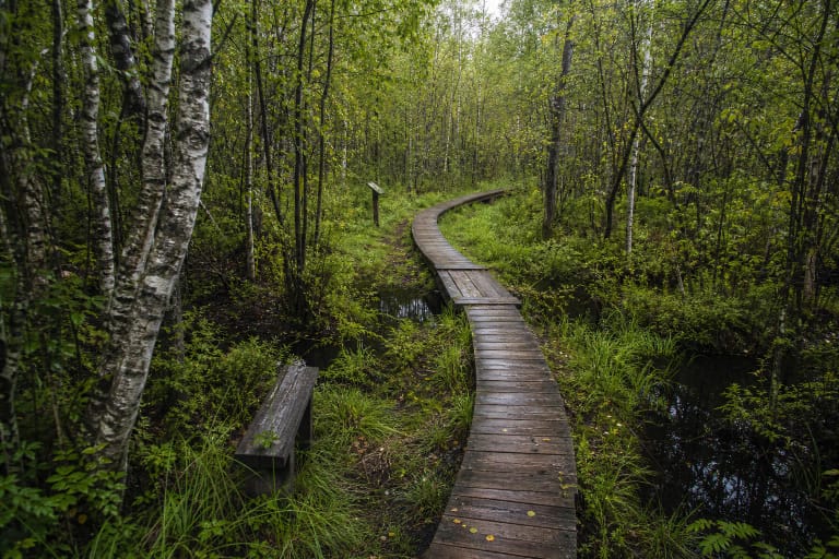
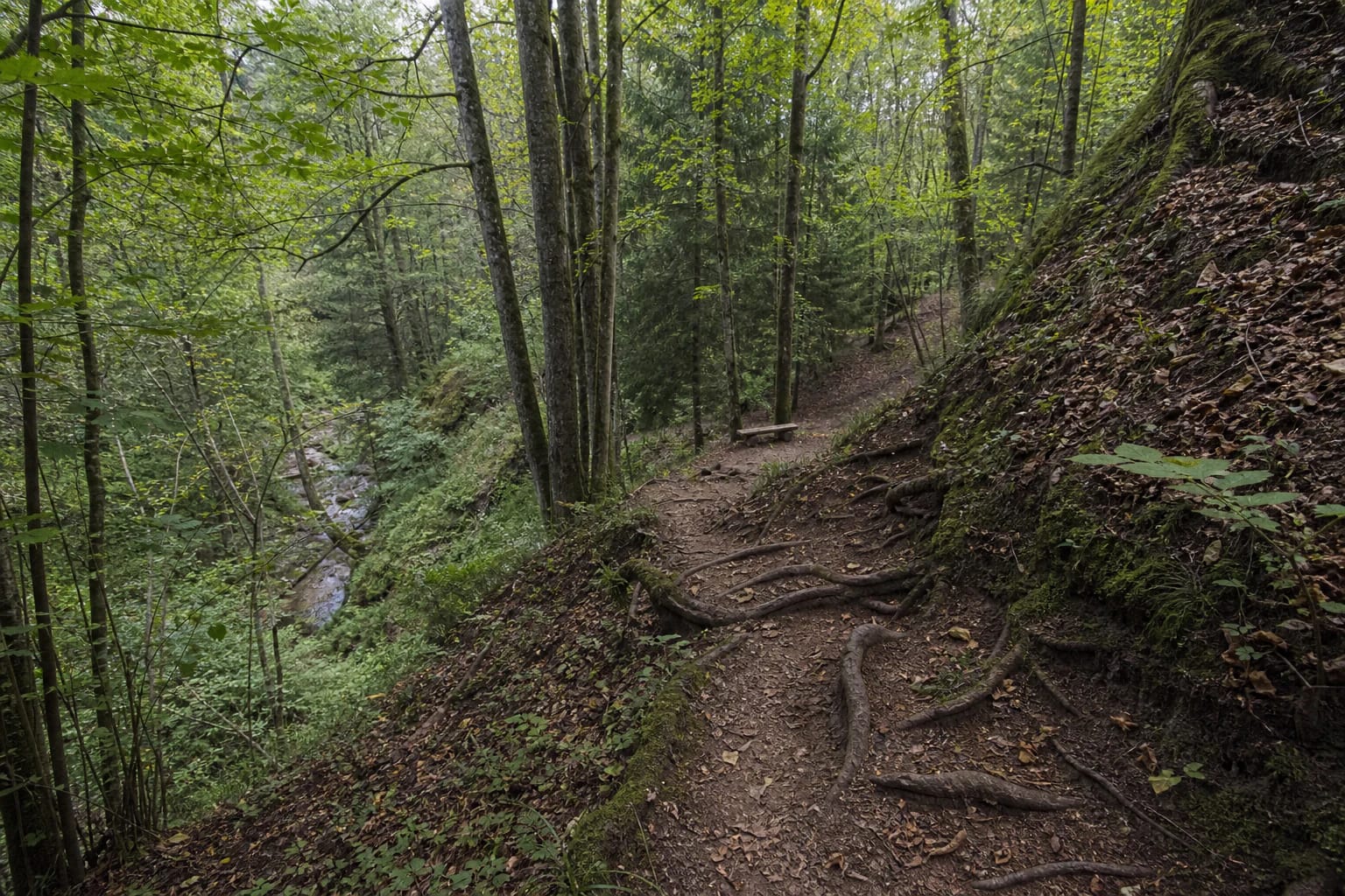
The word ‘mountain’ should not be read literally: there are no high mountains here, but the Žvelsa Valley slopes and ravines provide real relief. Some sections use animal paths, so this is not a flat city park or an equally easy wellness trail for everyone.
The Žvelsa Valley creates the route's relief
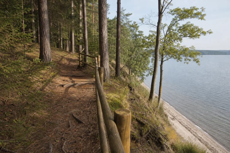
The Žvelsa is the main landscape reference for the route. Paths climb from the valley, descend into ravines, and return to wooded slopes, so 6.8 km here takes more effort than the same distance on a level gravel road. Water, wet leaves, and roots change grip after rain.
The official description lists three red-route sections whose climb heights are marked as 115, 85, and 87 metres. Treat these figures as a signal of the marked effort and local signage, not as a precisely measured total elevation gain for the whole hike. If steep woodland climbs are new to you, the red sections are not a place to test your limits without preparation.
Follow the yellow, blue, and red arrows and tree markings at the start and turns. Do not cut straight across a slope simply because you can see the river or a shorter descent: the marked route helps avoid erosion, private land, and unstable slope edges.
Hillfort, exposures, and the old Rudaičiai Oak
The walk introduces visitors to Lapiai Hillfort and Lakštingalų Valley. The hillfort is a separate cultural-landscape feature, not permission to leave marked paths or disturb the slope. Read its story alongside the route's natural experience, but do not expect every archaeological feature to be signed directly on the trail.
The official route description mentions three exposures, one of them a slipping slope with trees and a large mass of moving soil. This is geologically interesting but unstable: stay away from the edge, do not climb the exposure, and do not descend where there is no path. A better photograph is never worth sliding down a slope.
The Rudaičiai Oak is described as roughly six metres in girth and about eight centuries old. It is a route highlight, but its size or age is not an invitation to climb roots, break branches, or drive a vehicle to the tree. Stay on the path and protect the soil around the veteran tree.
The blue route and red sections are for different hikers
The official page says the blue route is for visitors who enjoy active leisure, but ‘for everyone’ does not mean suitable for every physical ability. Slopes, roots, ravines, and natural forest ground still require balance and proper footwear. With children, choose only a shorter and easier section after considering their experience.
The red route is described as particularly extreme and intended for experienced hikers. It has three steep climbing sections, where a safe step matters more than speed and you need the option to turn around. If the slope is wet, icy, or visibility is poor, postpone the red part.
The official page gives about four hours for both routes, but this is not a guaranteed time for every group. Photographs, stops by the Žvelsa, confusing turns, children's pace, and rest by the oak can extend the walk. Start with a time buffer and do not plan to return at the last minute of daylight.
How to prepare for a Lapiai Valley hike
The detailed route information recommends comfortable waterproof footwear and a water bottle. This is a minimum, not an extravagance: forest paths can be muddy, and shoes with smooth soles lose grip on steep sections. Keep a charged phone and a route plan even if you expect to follow only the signs.
The route system is not a certified step-free trail and is not suitable for an ordinary child or wheelchair over the full route. Slopes, roots, ravines, and natural ground mean that a visitor with limited mobility should assess one short access section individually rather than plan the whole Kalnų Takai system.
Check the weather before leaving, especially rain and frost. Postpone the red route after heavy rain or in icy conditions, and do not enter the forest during a storm. If you tire or conditions change, turn back on the marked path - this is better than trying to shorten the walk through a ravine.
The recreation area by the Rudaičiai Oak is a route rest stop
A public recreation-area description says the site by the Rudaičiai Oak is best reached along Kalnų Takai. It lists walking paths, a fire site, benches, a shelter, and a small hut where visitors can take cover in poor weather. This identifies a useful rest point after the steep sections.
The facilities are not a reason to drive an ATV or motorcycle to the oak. The official route page prohibits motor vehicles on walking paths, slopes, ravines, forest litter, and grass. Walk from the route start and protect the recreation area's surroundings.
A fire site only means that a designated spot exists; before making a fire, check local rules, wind, and fire risk. If you are unsure, do not light one. Take all rubbish with you, even if a bin is not beside the bench.