- Place
- Tytuvėnai, Kelmė District Municipality
- Region
- Tytuvėnai Regional Park
- Type
- lake with a nature trail in Tytuvėnai Regional Park
- Address
- Miškininkų Street, Tytuvėnai, Kelmė District
- Coordinates
- 55.61000, 23.19700
- Visit duration
- about 1-2 hours for a lakeside walk; longer if you pause by the water
- Best time
- late spring to autumn; a drier day is easier on natural ground and boardwalk sections
Gilius, Lake Gilius
Gilius in the Tytuvėnai lake landscape
Gilius, called Lake Gilius in Lithuanian sources, is one of the water bodies around Tytuvėnai in Tytuvėnai Regional Park. VLE describes the park as a protected landscape of lakes, bogs, and forests, with Gilius forming part of the lake chain with Apušis, Bridvaišis, and other waters.
The lake is close to Tytuvėnai, but this is more than a town beach. Forest, springs, reedbeds, natural ground, and recreation places meet along the shore, making Gilius suitable for both a short stop and a slower walk.
Shore nature: springs, wetland, and forest
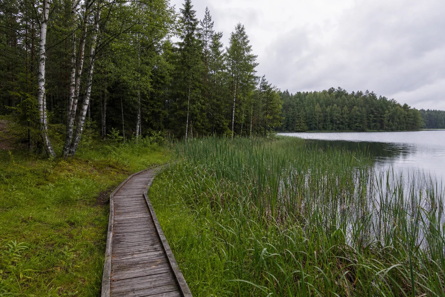
Saugoma.lt describes a spring-fed slope carrying many small streams into the lake and a wet reedbed known as a hanging bog. Spruce and pine woodland appear between the wet sections, so the view changes repeatedly from open water to denser forest around the loop.
The shore habitat is sensitive to trampling and water-level changes. Stay on boardwalks and the marked trail, do not cut down spring-fed slopes, and leave the wild reed edges as you found them.
The circular nature trail
Official sources give slightly different distances for the same circular Lake Gilius route: Saugoma.lt says about 3.5 km, while the Žemaitija Protected Areas Directorate visitor-centre information says about 3.3 km. The difference can reflect the route line and measurement method rather than two separate trails.
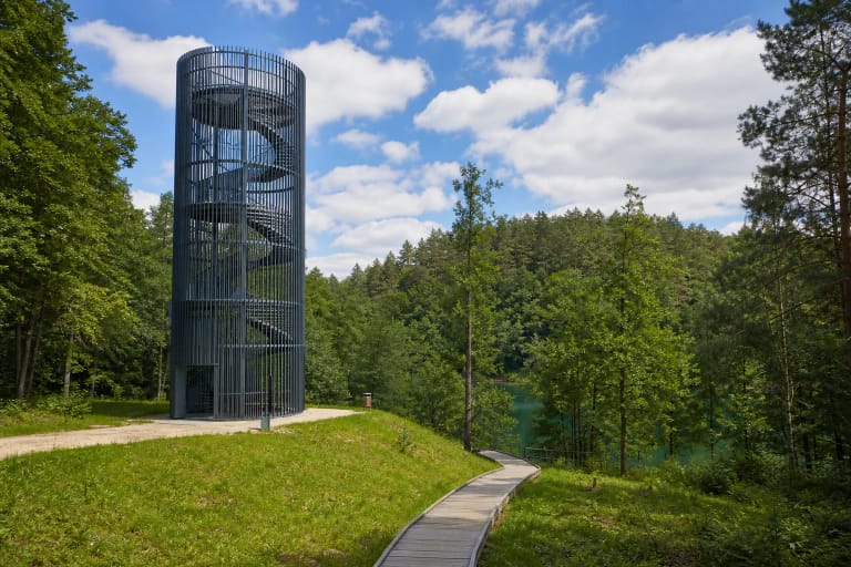
The trail passes several beaches, information stands, rest places, and a former narrow-gauge railway embankment. Views open towards Lakes Gilius and Apušis from the embankment, while wooden boardwalks and small bridges help in wetter sections.
Beaches and accessibility
Several beaches and rest places lie along Lake Gilius, so the loop can be divided into shorter pauses. Beach equipment, water access, and trail surfaces are not uniform around the whole circuit; rain can make natural ground and timber slippery.
Saugoma.lt states that part of the trail can be used by visitors with disabilities. This does not mean that the entire loop is obstacle-free: boardwalks, slopes, roots, and seasonal conditions can limit a particular outing.
What is changing around Lake Gilius
In 2025 Kelmė District Municipality announced a project scheduled from August 2025 to March 2028. It plans work on approaches, car parks and pedestrian paths, children's play areas, lighting, beach and recreation zones, pontoon bridges, and viewpoints.
These are project plans and an implementation period, not a promise that every facility is already operating. Follow local signs on arrival and check municipal and protected-area information before travelling, because approaches and some shore locations may temporarily differ.
Planning a visit
Allow about 1-2 hours for the loop, depending on stops and surface conditions. Wear shoes suited to damp woodland and boardwalks, and stay close to children near the water and timber structures.
The checked official sources did not publish one separate lake ticket or uniform opening hours for every shore facility. Leave vehicles only in designated places, assess unmarked swimming spots carefully, and follow Tytuvėnai Regional Park rules.