Kelmė District Municipality
Tytuvėnai Regional Park
two regional-park observation towers and a lakeside nature trail
Tytuvėnai and Kalnai village, Tytuvėnai Regional Park, Kelmė District
55.59000, 23.24000
1-2 hours for the trail; about an hour for each tower
summer and autumn; in autumn, cranes gather in the bogs
Kokmaniškė Observation Tower, Šiaulė Observation Tower
Panoramas of Tytuvėnai Regional Park
Tytuvėnai Regional Park was established in 1992 and covers roughly 18,000 ha. It protects the landscape of lakes, forests, and raised bogs around Tytuvėnai and Šiluva. The best way to read this area is through two observation towers and a lakeside nature trail, which combine distant panoramas with close contact with nature.
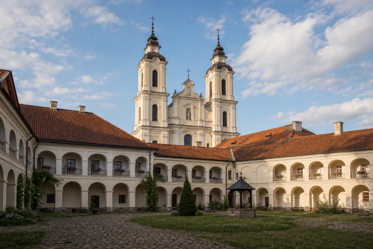
This page focuses on the park's nature sites. The famous Tytuvėnai church and Bernardine monastery ensemble in town is a separate place, but it is very easy to visit together with the towers and trail.
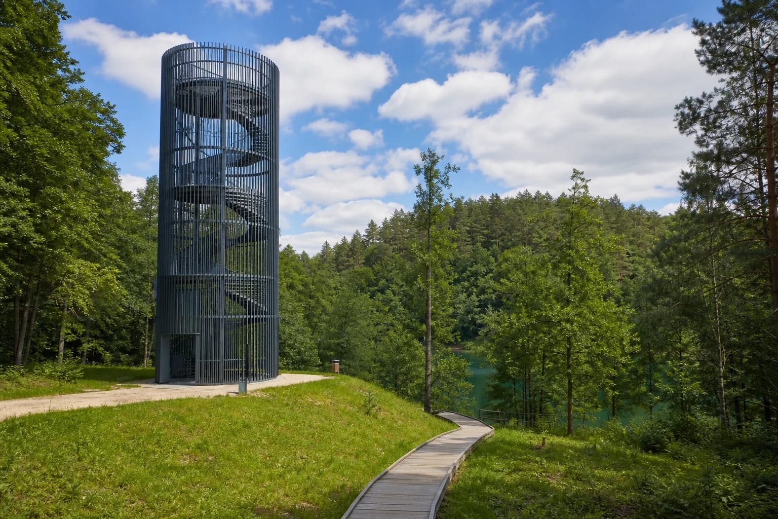
Two observation towers
According to VLE, the park has two observation towers. The Tytuvėnai tower, 15 m high, was built in 2007 on Kokmaniškė Hill, which rises about 162 m above sea level. From it you can see the manor park, the forests of Gomerta Reserve, and even the Šiluva church and chapel, although in some places grown trees now partly block the view.
The second is the Šiaulė tower, 21 m high, built in 2016 in the western part of the park, in Gomerta Landscape Reserve, near Kudinai Hillfort. Its height was deliberately chosen so it would not rise above the surrounding trees. From the top there is a 360-degree panorama, and a short path connects the tower with the hillfort.
Lake Gilius nature trail
A circular nature trail winds around Lake Gilius. Sources give its length as about 3.3-3.5 km. Wooden boardwalks and small bridges have been built in wetter and harder-to-pass places, and part of the trail is adapted for visitors with disabilities. Along the way are two viewpoints, rest areas, and beaches.
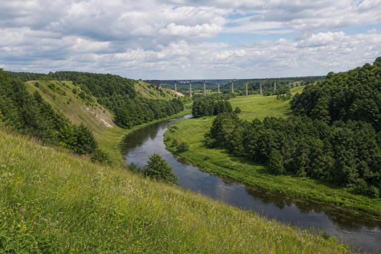
The trail passes spring-fed slopes, a reed area known as a hanging bog, and an old pinewood with trees over 300 years old. From the former narrow-gauge railway embankment, views open toward Lakes Gilius and Apušis. Lake Gilius itself is small but deep: about 36 ha in area and up to 23 m deep.
How to visit
The towers and trail are freely accessible, free of charge, and visitable year-round. The most convenient start for the Gilius trail is from Miškininkų Street in Tytuvėnai. Allow 1.5-2 hours for the full loop, and more in wet conditions because parts of the route use boardwalks. The Tytuvėnai tower is about 1 km east of the town, while the Šiaulė tower is farther away, in the park's west, on the Radviliškis District side.
In autumn, thousands of cranes gather in the park's raised bogs, one of the strongest seasonal sights here. The sites combine well with the Tytuvėnai ensemble and Šiluva Shrine. Specific trail and tower visiting conditions are worth checking in park information before travelling.