- Place
- Tytuvėnai, Kelmė District Municipality
- Region
- Tytuvėnai Regional Park
- Type
- short recreational trail along the shore of Lake Bridvaišis
- Address
- End of Aušros Street, Tytuvėnai, Kelmė District
- Coordinates
- 55.59410, 23.21090
- Visit duration
- about 30 minutes; longer if you climb the hillfort and pause by the shore
- Best time
- spring to autumn when the shore path is drier; visit in the morning for a quieter walk
Bridvaišis Recreational Trail, Bridvaišis Lakeshore Trail
A short Tytuvėnai trail, not the whole lake circuit
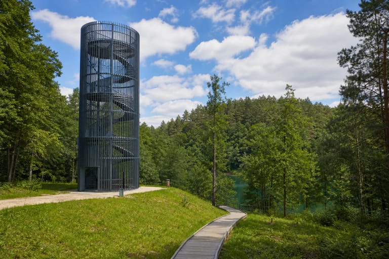
Bridvaišis Lake Recreational Trail is a Tytuvėnai Regional Park route beside Tytuvėnai. The official Saugoma.lt entry gives it a length of 0.6 km and a walking time of about half an hour. It is a useful short stop when you want lakeshore views, the hillfort, and resting places without planning a long hike.
Do not confuse this trail with the longer shore route described on the separate Lake Bridvaišis page. Choose the specific recreational-trail entry in navigation rather than searching only for the lake, because the area also has a beach, a hillfort, and other separate visitor points.
What fits into 0.6 km
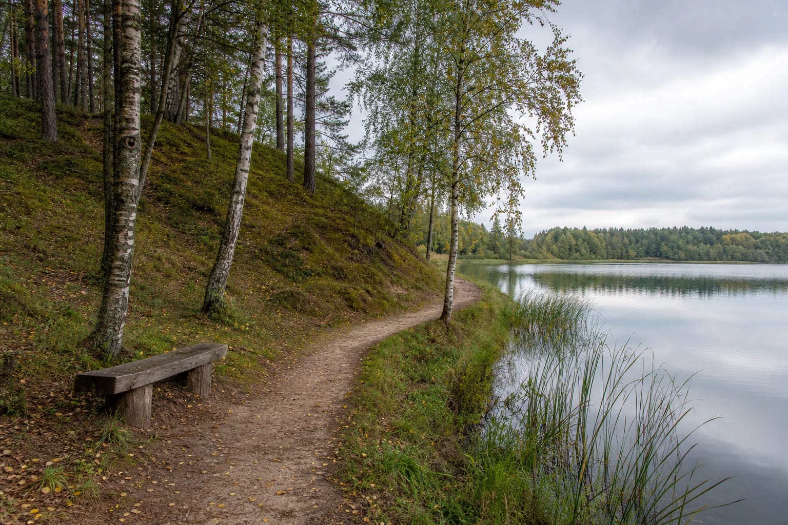
The trail is designed for an unhurried introduction to the Bridvaišis shore. Saugoma.lt highlights lake views, the opportunity to climb Bridvaišis Hillfort, the Great Island, and places to stop and rest. Leave time to read the landscape instead of treating the route as a quick transfer between points.
Bridvaišis Hillfort stands on a hill on the northern side of the lake, once an island. The directorate dates it to the end of the first millennium, with a roughly 25 by 18 metre summit and slopes 1.5 to 6 metres high. Stories of a castle here belong to local legend: archaeologists did not find fortifications or a cultural layer with finds.
Natural ground and lakeshore relief
The official surface is compacted and natural ground. Expect a mix of sandy or earthy path, woodland roots, leaves, and grassy shore, with a steeper rise near the hillfort. After rain, the route can be slippery, so shoes with dependable grip are more useful than smooth-soled footwear.
Water, wooded banks, wet shore habitats, and islands meet in the Bridvaišis landscape. Do not cut into the reeds or climb sensitive slopes from the path. The short route is valuable because it offers access without requiring visitors to damage the lake edge.
Accessibility: the surface is not uniform throughout
Saugoma.lt and the Žemaitija Protected Areas Directorate state that part of the Bridvaišis recreational trail can be used by visitors with disabilities because some of its surface is compacted. This does not promise a completely obstacle-free route, so consider the slopes, roots, and the day's conditions against your own mobility equipment.
Kelmė District Municipality's 2025-2027 Lake Bridvaišis visitor-access project includes improvements to shore infrastructure and approaches. Benches, trail connections, parking, and other facilities may therefore change. Check the latest park and municipal information before travelling.
Planning a short visit
Allow about 30 minutes for the trail itself. Add time if you want to climb the hillfort, pause beside the lake, or visit the Great Island. Morning or a cool autumn day is often quieter, while dry weather makes the natural surface easier to walk.
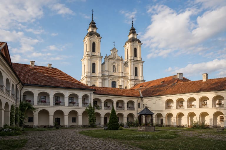
The checked official pages publish no separate trail ticket or fixed opening hours. Leave a vehicle only in a lawful designated place, keep off sensitive shore vegetation, and follow protected-area rules. The stop combines naturally with Tytuvėnai's monastery ensemble, the Gilius Trail, and other regional-park sites.