- Place
- Antazavė eldership, Zarasai District Municipality
- Region
- Zarasai Region
- Type
- lake and Dūburys Hydrographical Reserve
- Address
- Lake Dūburys, Antazavė eldership, Zarasai District
- Coordinates
- 55.78897, 25.96708
- Visit duration
- 1-3 hours, depending on the shore lawfully accessible, photography, and time to rest
- Best time
- late spring, summer, or early autumn; a calm day best reveals the islands and woodland reflections
Dūburio ežeras, Duburys
Dūburys begins by Antazavė, but its map centre is not a beach
Lake Dūburys lies in Antazavė eldership, Zarasai District, about 3 km southeast of Antazavė and 13 km northeast of Dusetos. It is a distinct lake, not Dūburaitis or another similarly named water body. The surrounding area works well as part of a wider Antazavė and Sartai day trip.
The point supplied on this page is representative of the lake, not a beach entrance or guaranteed car park. Choose a lawful shore access before travelling, and do not try to drive to the water by following a central lake coordinate.
The official sources checked do not confirm one lake-wide bathing site, ticket desk, or continuous walking trail. Use existing roads, leave the car legally, and do not turn the map centre into an unverified private access route.
A glacial trough with four islands and an 11.6-kilometre shore
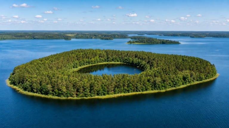
VLE gives Lake Dūburys an area of 99.3 hectares, a length of 3.1 kilometres, and a maximum width of 0.9 kilometres. Its glacial trough shape is not circular: the shoreline winds for 11.6 kilometres, with high, steep banks on the western and eastern sides. The northern and southern shores are lower, so the view changes markedly around the lake.
Dūburys has four islands with a combined area of 47.1 hectares. The largest, Astrava Island, covers 45 hectares. From shore it may look like a wooded peninsula rather than a small island, and the bays, reeds, and relief mean that all four islands will not be visible from every point.
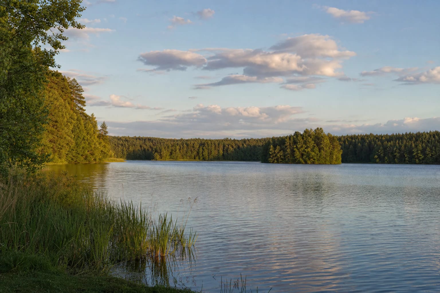
This is not a manicured resort lake. The littoral is sandy and locally fringed with reeds and bulrushes, while the deeper bottom is muddy. Look for a lawful open access point for photography, but do not push through wet vegetation or cross private land.
Depth changes from shallow margins to 19.4 metres
Lake Dūburys has a surface elevation of 154.9 metres and a catchment area of 40.4 square kilometres. Its average depth is 5.2 metres, while VLE gives a maximum of 19.4 metres in the northeastern part. These figures describe the entire lake and do not predict the bottom at a particular shore.
A shallow sandy margin gives way to deeper muddy water. Clear-looking water is not a reason to enter at an unfamiliar natural bank, especially beside a steep shore. Keep children within reach and use proper flotation equipment when on the water.
Dūburys is not a closed basin. Two streams flow in, and the Rūra passes through the lake on its way to Lake Zalvys. VLE gives an annual water exchange of 175 percent, placing the lake within the wider Šventoji basin rather than treating it as an isolated pond.
The Dūburys Hydrographical Reserve protects more than the water surface
Saugoma.lt states that Dūburys Hydrographical Reserve was established in 1983 and covers about 370 hectares. Its purpose is to preserve the uniquely configured lake and its surroundings. The protected value therefore includes the relationship between water, islands, shores, and the surrounding landscape.
Reserve status is not general permission to camp or light fires anywhere. Check signs, protected-area information, and lawful access before travelling; pitch a tent, park, and make a fire only in designated places if the shore you choose provides them.
Reed beds, islands, and quiet bays are sensitive habitat for water birds and other wildlife. Do not drive over meadows, enter marked sensitive areas, damage the littoral, or leave litter. The reserve is best experienced from a respectful distance.
What to combine with Lake Dūburys
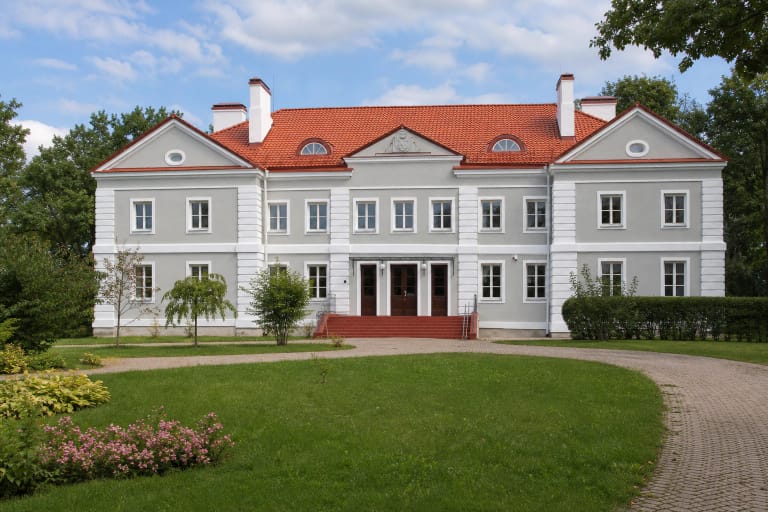
Combine Lake Dūburys with Antazavė Manor and the Dusetos area, or use the Sartai Regional Park Visitor Centre to plan a wider protected-landscape route. Antazavė Manor is a nearby cultural-heritage stop, but its visiting arrangements are not the opening hours of the Dūburys shore.
If you want more lake scenery, Lake Sartai provides a comparison with a larger, more deeply indented glacial lake. Baluošas Lake's Ilgasalė shows another eastern Lithuanian island type. These are separate stops, so check access and current visiting rules for each independently.
Allow 1-3 hours for one Dūburys stop if you find a lawful shore access, want to watch the water, and photograph the islands. Natural banks can be slippery after rain, and sturdy footwear is useful beside steep slopes and water.