- Place
- Jauniūnai Eldership, Širvintai District Municipality
- Region
- Vilnius Region
- Type
- a heavily modified pond in the Musė basin in Širvintai District
- Address
- Bartkuškis village, Jauniūnai eldership, Širvintai District
- Coordinates
- 54.93127, 24.93673
- Visit duration
- 30-60 minutes beside the water; longer when fishing with a valid permit
- Best time
- a dry daylight visit from late spring to early autumn; follow signs at the shore
Bartkuškis water body
Bartkuškis Pond is not the same as Bartkuškis Lake
Bartkuškis Pond is in Jauniūnai Eldership beside Bartkuškis village in Širvintai District Municipality. The municipal page gives it the separate point 54.93126940992406, 24.93672545902343, while Bartkuškis Lake has different coordinates and is identified as private. They are two different water bodies, so use the full name in navigation.
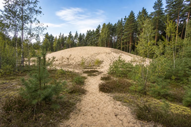
The Encyclopaedia of Lithuania describes Bartkuškis as a village 12 kilometres south of Širvintos, with Bartkuškis Lake on its northern edge. A search for the pond can therefore be confused with the lake, Bartkuškis Dune, or the village itself, although their visitor conditions differ.
The page coordinate marks the municipal pond and recreation point, not the entire nine-kilometre shoreline. Follow signs on site and do not seek access across private plots.
This is a heavily modified water body in the Musė basin
The Environmental Protection Agency's surface-water risk list records Bartkuškis Pond under code LT112050300. It classifies the water body as heavily modified, places it in the Nemunas River Basin District, and identifies it with Širvintai District Municipality.
The heavily modified designation describes the water body's origin and hydromorphological pressure. It does not say that a particular shore is tidy or suitable for swimming on a particular day. It is an administrative water-management category, distinct from a visitor's impression of calm water.
The Encyclopaedia of Lithuania's entry for Širvintai District Municipality lists Bartkuškis among the district's state-significance ponds and gives an area of about 61 hectares. A large water body can have very different bank height, vegetation, and access from one shore to another.
A rural shore has its own pace and boundaries
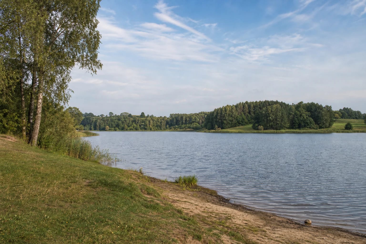
Bartkuškis Pond is characterised by broad calm water, a grassy bank, scattered birches, and a wooded opposite shore. The view feels like a rural water body rather than a developed city beach. Reeds, soft ground, and uneven slopes may occur at the water's edge.
The municipal page presents Bartkuškis Pond in a fishing context but does not publish a separate public beach, lifeguard point, toilet, or permanently maintained car park description. Do not treat those services as guaranteed.
Leave a vehicle only in a lawful place and keep access to the water open. If the selected road leads to a homestead, field, or closed yard, turn around rather than forcing a route to the shore.
Fishing requires current permits and rules
Širvintai District Municipality includes Bartkuškis Pond in its list of waters used for fishing and states that it is leased. This is not an invitation to fish without preparation: check the current recreational-fishing permit, the water user's rules, and any restrictions in force on the day.
A fishing permit does not make the whole shore a public recreation area. Choose a fishing position that does not block a road, enter private land, or create a hazard for other people beside the water.
If you want to use a boat, check the current navigation and water-user rules first. This page does not confirm a public launch point, so do not bring equipment assuming that every shore gives access.
The pond is not automatically a bathing area
The municipal and water-body sources checked do not confirm an official Bartkuškis Pond bathing area with a monitoring schedule or lifeguard service. Calm water and a sandy section of bank do not by themselves prove that swimming is safe.
Before entering the water, consider the day's weather, the surface, the bank, and signs on site. Do not jump from the shore or swim into deeper water without assessing conditions, and keep children within reach.
Grass and soil can be slippery after rain, while water levels and shore conditions can change. If access is unclear or land ownership is uncertain, the safest choice is to remain on the public road and use another officially adapted site.
How to plan a visit to Bartkuškis Pond
Allow 30-60 minutes for a landscape stop at a lawfully accessible shore. If you fish, the time depends on the chosen position, permits, and rules rather than on the pond's size alone.
Late spring and early summer reveal the relationship between water, meadows, and woodland, while autumn colours the opposite shore. A dry day is more comfortable than a wet morning because informal approaches and natural banks may be soft.
Think of Bartkuškis Pond as one point in Širvintai District's water landscape. If you want dependable facilities or a defined route, combine the day with a separate nature trail, the Kernavė Archaeological Site, or Bartkuškis Dune rather than inventing an unconfirmed loop around the pond.