- Place
- Marijampolė Municipality and Vilkaviškis District Municipality
- Region
- Suvalkija
- Type
- Rausvė reservoir with natural banks beside Balsupiai village
- Address
- Beside Balsupiai village, on the boundary of Marijampolė and Vilkaviškis District municipalities
- Coordinates
- 54.55559, 23.18264
- Visit duration
- 45 minutes-2 hours; allow longer for quiet landscape and birdwatching
- Best time
- April to October for walking and birds, early morning for quieter water, and a dry day for the natural approach
Balsupiai Water Body, Balsupiai Pond on the Rausvė, Balsupių tvenkinys
The pond lies beside Balsupiai village, not at a resort beach
Balsupiai Pond lies beside Balsupiai village, in the western part of Marijampolė Municipality. The municipality describes it as a water body formed by damming the Rausvė, while its general plan records that the pond extends across both Marijampolė and Vilkaviškis District municipalities.
The checked visitor reference is 54.555590, 23.182640. This is a representative point on the natural bank, not a gate, car park, or the centre of the entire water body. Access to a particular shore can depend on local tracks, private land, and weather.
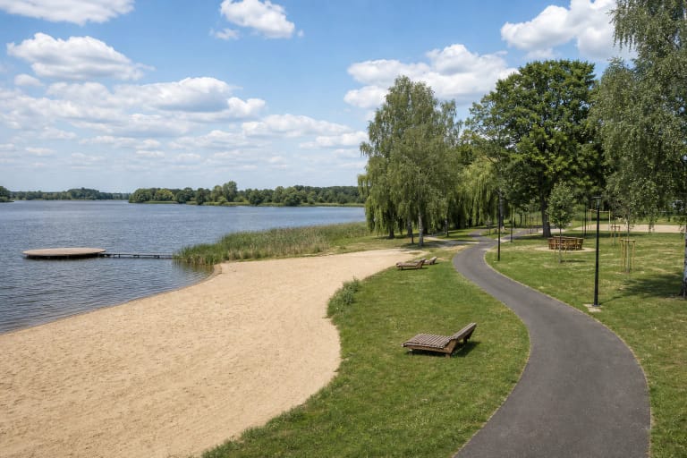
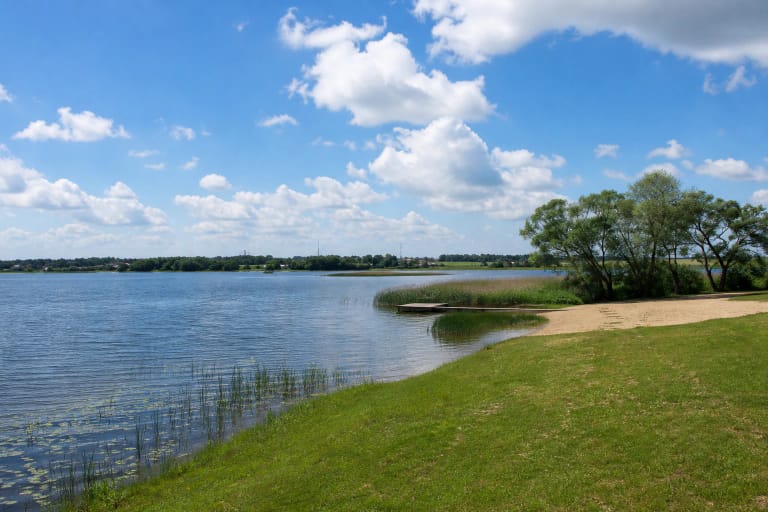
Choose Balsupiai Pond for water, sky, and open-field views. The official sources checked do not confirm large beach infrastructure, so plan this as a nature-observation stop rather than a visit to a developed resort.
A Rausvė dam created 36 hectares of open valley water
Balsupiai is a settlement through which the Rausvė, a left tributary of the Šešupė, and the Balsė, a right tributary of the Rausvė, flow. VLE places Balsupiai Pond 25 km from the Rausvė's mouth and gives an area of about 36 ha, so the view belongs to a dammed river valley rather than a natural lake basin.
The Marijampolė Municipality general plan gives a total area of 36.4 ha, of which 18.4 ha lies in Marijampolė Municipality; VLE rounds the same scale to 36 ha. This explains why maps may associate the water body with both the Marijampolė and Vilkaviškis District sides.
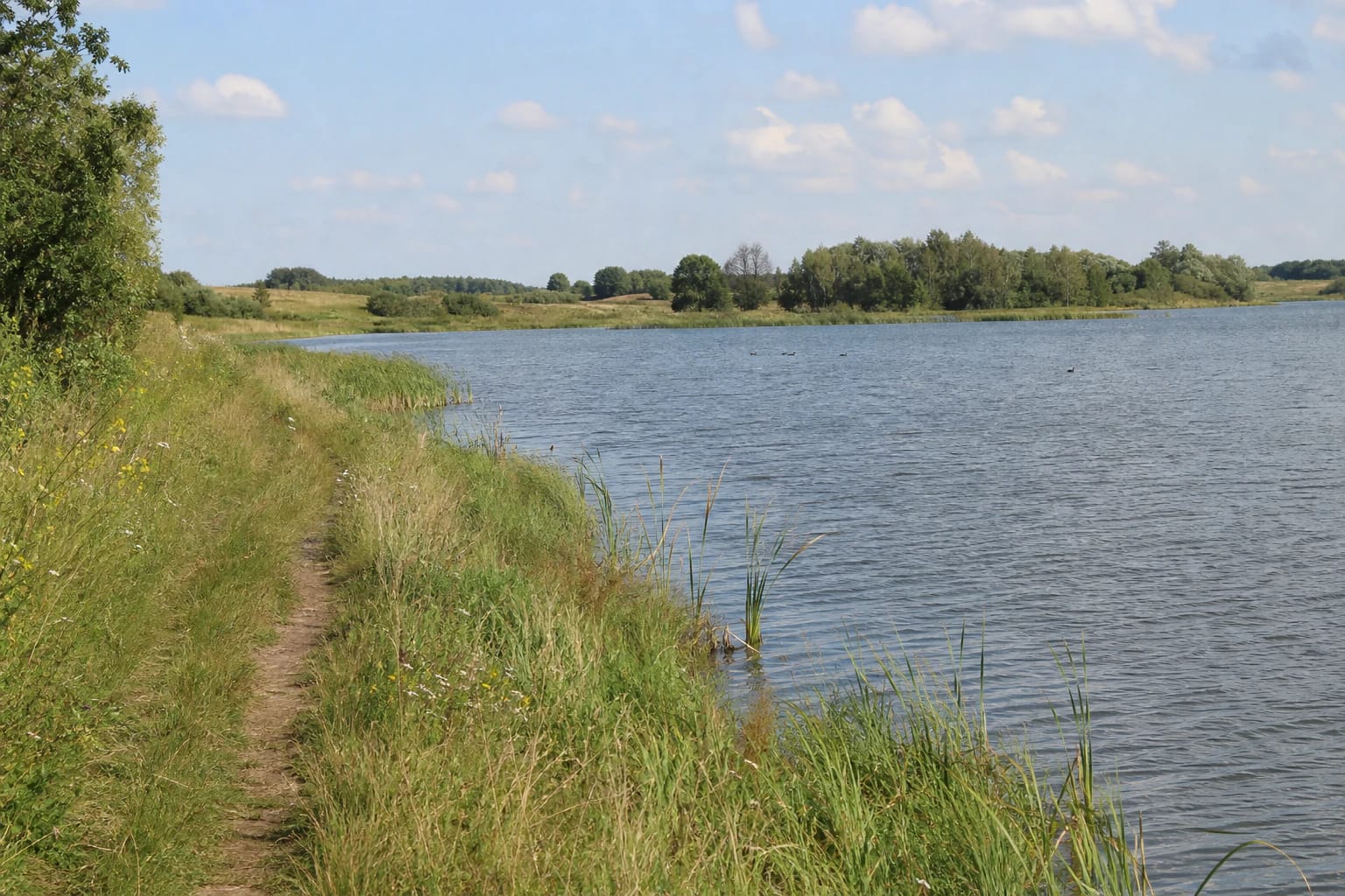
Water level and the look of the bank can change with the season, rainfall, and hydrological regime. The low grassy edge may become soft after rain, while the reed margin can be muddy; approach the water only where the surface is clearly safe.
Open water and a distant tree belt create a broad, lightly built horizon. That is a reason to slow down, not to enter unknown thickets or cross dam, private, or restricted ground.
The natural bank suits birds and a quiet walk
Grassy banks, reed belts, and open water make it possible to notice waterbirds. A local nature photographer's 2016-2018 series recorded great crested grebes and their young on the pond, but these are historical observations rather than a promise that the species will appear on every visit.
The foot access may be no more than a worn line through grass, without a smooth path, rails, or lighting. Wear water-resistant shoes and bring binoculars, but do not approach nests, enter reedbeds, or let a dog chase wildlife.
The simple landscape changes with the season: spring is brighter and wetter, summer brings taller grass, and autumn sets golden reeds against grey water. One bank point cannot show the whole pond, so the view depends on which permitted approach you use.
Treat swimming and fishing as separate questions
Balsupiai Pond is not presented here as an official bathing area. Before entering the water, check the latest information from both municipalities, local signs, and the actual condition of the bank and water; a water-body name alone does not confirm bathing suitability.
If you come to fish, first check the current water-body user, permit type, and recreational-fishing rules. Old articles or previous licence conditions do not establish today's regime; leave no line, bait, or other waste.
The sources checked did not confirm lifeguards, changing facilities, toilets, or permanent recreation-area supervision. Keep children close to the water, do not rely on old photographs, and do not launch an unknown boat or inflatable.
Plan access as a visit to a rural landscape
The coordinates help orient you near Balsupiai but do not identify one official entrance. Use them as an approximate shore reference, and take the final stretch only on a road or path where walking is permitted. Do not drive across fields, block local roads, or enter private land.
Bring water, suitable footwear, insect protection, a rubbish bag, and a charged phone. The official sources list no ticket desk or visiting hours, but a natural shore is not safe in darkness, so plan for daylight.
After Balsupiai Pond, continue to Marijampolė Marių Park, Lake Paežeriai, or Piliūnai Hillfort. Those places add clearer facilities and viewpoints if the natural bank proves too wet or difficult to reach.