- Place
- Marijampolė, Marijampolė Municipality
- Region
- Suvalkija
- Type
- urban recreation park on peninsulas and a renewed island in Marijampolė II Reservoir
- Address
- access from 44 Poilsio Street, Narto Eldership, Marijampolė
- Coordinates
- 54.52485, 23.33673
- Visit duration
- 1-3 hours for the island paths, beach, a picnic, and an unhurried walk; allow half a day for swimming or separately charged private activities
- Best time
- a dry day in the warmer season, preferably morning or evening; check the latest water-quality result before swimming and the status of Poilsio Street works in 2026
Marių Park, Marių Park Island, Marijampolė reservoir island
The official pin marks the main visitor area, but Marių Park is larger than one island
The map embedded in the municipal park page places Marių Park at 54.524852, 23.336728. This is a representative point in the principal water-wrapped part of the park, not a specific gate or the only car park. Access to the island rebuilt in 2024 is from the direction of Poilsio Street, while official planning documents apply the Marių Park name to several other recreation areas around the reservoir's bends.
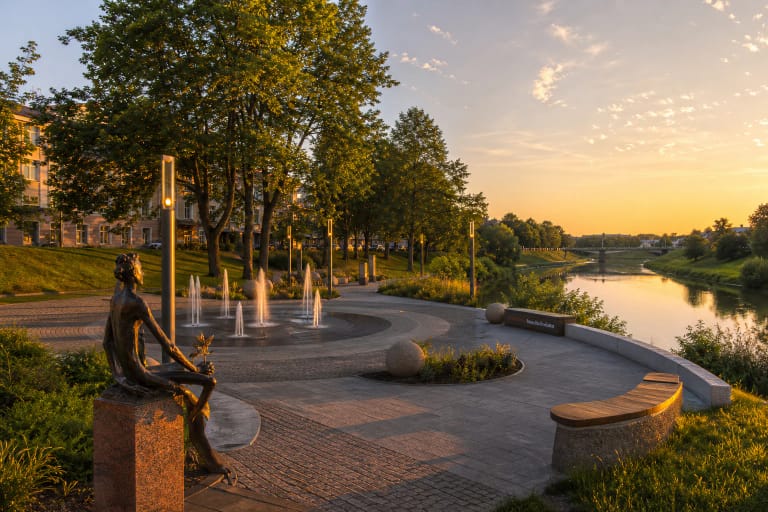
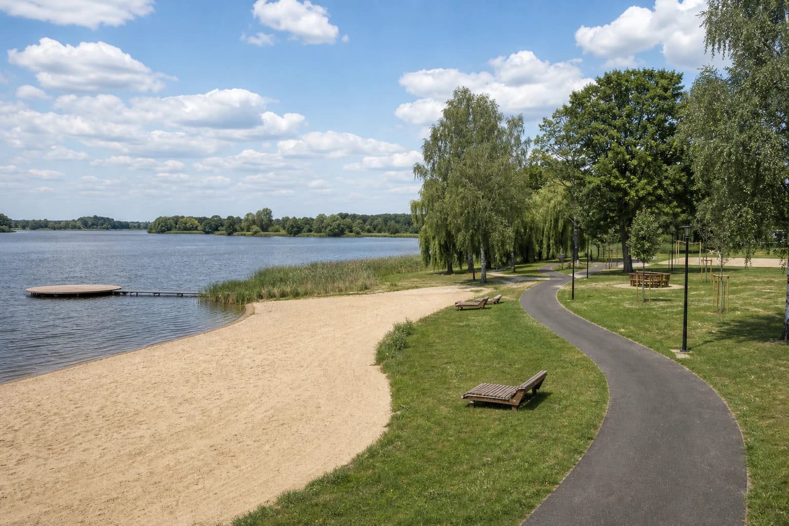
That distinction explains why older photographs show simpler lawns and trees, whereas recent views feature a broad beach, play structures, and winding paths. The renewed island is the clearest starting point for a visitor but not the whole historic park. Not every shore around the water belongs to the same public recreation area, so remain on paths and avoid private or operational land.
On 15 July 2026, the most recently indexed summary for the exact Google Maps listing named Marijampolės Marių parkas showed 4.7 out of 5 from 443 reviews. That sits securely above the 4.5 threshold, but both the score and count will change. Use the Google card for general navigation and municipal notices for temporary traffic arrangements.
A dam across the Šešupė created the park in 1974, so the popular name does not mean a natural lake
Marijampolė Municipality dates the park to 1974, when the Šešupė was dammed near Kvietiškis. Water spreading behind the dam surrounded low pieces of land and created the impression of peninsulas and an island. The water body's official name is Marijampolė II Reservoir and its river-and-lake cadastre code is 15050003. Marių, a Lithuanian word associated with broad lagoon-like waters, is the local recreation name rather than the reservoir's formal category.
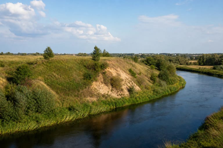
VLE lists Marijampolė II among the largest reservoirs on the Šešupė, about 201 kilometres from the river mouth and with a stated area of 75 hectares. The Šešupė itself is an approximately 298-kilometre left tributary of the Nemunas, with about 158 kilometres in Lithuania. Its shallow valley and marked spring floods help explain why water level, damp ground, and the width of the exposed beach are not absolutely fixed.
The Environmental Protection Agency's national plan records the structure creating Marijampolė II Reservoir as a dam with a hydroelectric plant. The park is therefore both a recreation landscape and the bank of a managed water body. Stay away from the dam, power equipment, spillways, and marked operational zones; use only designated places for swimming, launching a craft, or fishing.
The island reopened in 2024 for much more than swimming
Marijampolė Municipality formally opened the rebuilt Marių Park Island on 6 September 2024. It has winding walking paths, a broad sandy beach, children's play and climbing areas, beach volleyball and football grounds, picnic and outdoor-grill zones, and dedicated fishing platforms. Project documents also provide for drinking-water points, sanitary facilities, lighting, and a floating timber island.
The VKR Group Employee Foundation contributed EUR 403,000 to the island work, with the municipality investing EUR 698,000. Those figures explain the scale of the renewal but do not promise that every feature operates in every season. In a national 2025 competition, a professional jury named the island the best green space, while a public vote named it the most beautiful, from 53 entries submitted by 29 towns and cities.
The most rewarding visit is not a hunt for one compulsory attraction. Follow the island paths, compare the open beach with tree-lined banks, and stop where you do not interfere with sport or anglers. The island is quietest in the morning, catches softer light across the reservoir in the evening, and can be busy around the beach and grills on a hot weekend afternoon.
Bathing water is monitored, but one compliant sample is not a guarantee for the whole summer
Marijampolė Municipality included Marijampolė II Reservoir among its monitored bathing places for 2026, with samples analysed by the National Public Health Surveillance Laboratory. The table for 7 July 2026 classified the reservoir result as meeting the microbiological parameters in Lithuanian hygiene standard HN 92:2018; the information was updated on 9 July. This is a result for a specific sampling date, not permission to swim regardless of later conditions.
Heavy rain, a heatwave, or a new pollution notice can change conditions faster than this page can be revised. Before swimming, consult the municipality's latest water-quality table and read signs at the beach. Do not enter water that is visibly blooming, smells unusual, or carries waste, and supervise a child continuously even if the designated beach appears shallow.
Independent access to the municipal park has no published admission ticket or closing hour, although daylight is safest. Private water recreation, camping, and events are separate from the park itself and may operate seasonally with their own prices. Confirm a particular service and its current fee directly with its operator rather than treating it as a general park charge.
Reconstruction of Poilsio Street was changing access during 2026
On 25 March 2026, the municipality announced the start of work on Poilsio Street. Plans include two traffic lanes with a combined width of 6.5 metres, walking and cycling paths, new lighting, storm-water infrastructure, and two car parks with 70 and 48 spaces. At the research date, the works were still described as ongoing, so the future car parks and complete access improvements must not be presented as already finished.
Follow temporary road signs during 2026 and never park inside a work zone or on a walking or cycling route. If navigation leads to a closed section, do not improvise a track across grass or the shore. Check the municipal site in the same week as your trip for the completion status and current traffic arrangement.
Island plans include paths and sanitary facilities, but no public source provided a complete access audit, gradients, or a beach-wheelchair service. The flatter rebuilt infrastructure may work for some visitors with limited mobility, yet construction and temporary surfaces in 2026 could create barriers. A wheelchair user should contact the municipality and confirm the access available on the intended day.